| Memorials | : | 0 |
| Location | : | Jackson, Clarke County, USA |
| Coordinate | : | 31.5281900, -87.8805800 |
frequently asked questions (FAQ):
-
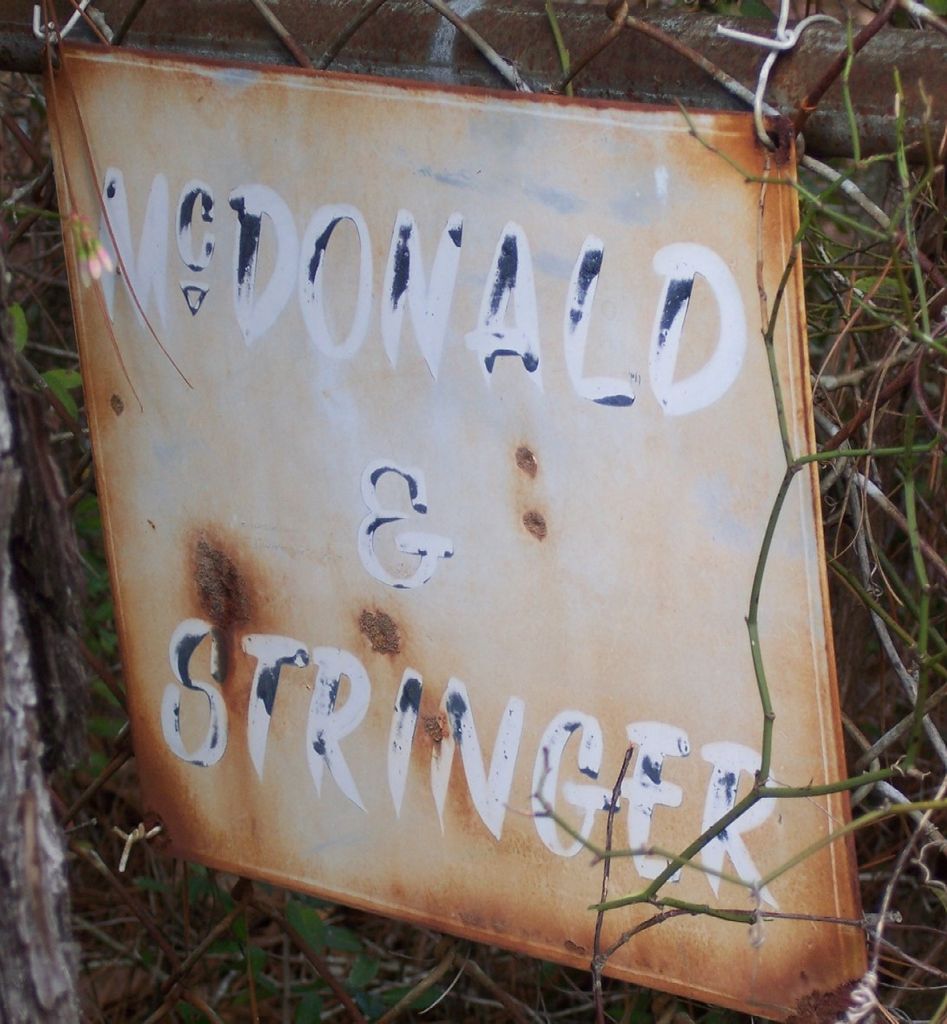
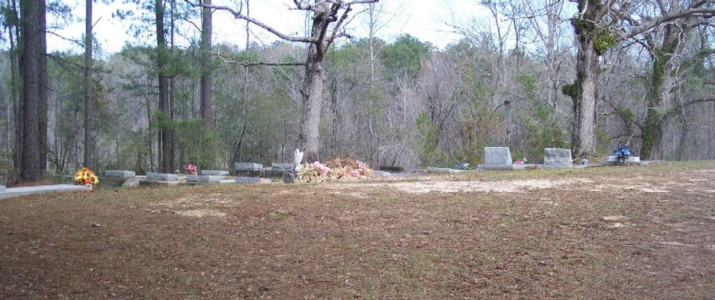
Where is McDonald & Stringer Cemetery?
McDonald & Stringer Cemetery is located at McDonald Road Jackson, Clarke County ,Alabama , 36545USA.
-
McDonald & Stringer Cemetery cemetery's updated grave count on graveviews.com?
0 memorials
-
Where are the coordinates of the McDonald & Stringer Cemetery?
Latitude: 31.5281900
Longitude: -87.8805800
Nearby Cemetories:
1. Inspirational Tabernacle Independent Church Cemete
Jackson, Clarke County, USA
Coordinate: 31.5346990, -87.8755190
2. Bell Parker Cemetery
Jackson, Clarke County, USA
Coordinate: 31.5429600, -87.8829590
3. Woodlawn Cemetery
Jackson, Clarke County, USA
Coordinate: 31.5095540, -87.8822160
4. Forman Cemetery
Jackson, Clarke County, USA
Coordinate: 31.5088997, -87.8816986
5. McKenzie Cemetery
Jackson, Clarke County, USA
Coordinate: 31.5249996, -87.9088974
6. Pine Crest Cemetery
Jackson, Clarke County, USA
Coordinate: 31.5060997, -87.9000015
7. Parker Cemetery
Jackson, Clarke County, USA
Coordinate: 31.5592400, -87.8834400
8. AOH Church of God Cemetery
Jackson, Clarke County, USA
Coordinate: 31.5000130, -87.9013700
9. Trinity Memorial Gardens
Jackson, Clarke County, USA
Coordinate: 31.5685900, -87.8636200
10. Jackson Memorial Gardens Cemetery
Clarke County, USA
Coordinate: 31.5688992, -87.8641968
11. Stave Creek Baptist Church Cemetery
Clarke County, USA
Coordinate: 31.5530610, -87.9348250
12. Gaddies Chapel Cemetery
Clarke County, USA
Coordinate: 31.5722008, -87.8463974
13. Mount Zion Cemetery
Clarke County, USA
Coordinate: 31.5628270, -87.9287980
14. Vernal Chapel Baptist Church Cemetery
Jackson, Clarke County, USA
Coordinate: 31.4734760, -87.8900100
15. Mount Sinai Full Gospel Church Cemetery
Jackson, Clarke County, USA
Coordinate: 31.4876890, -87.8354930
16. Bethel Cemetery
Jackson, Clarke County, USA
Coordinate: 31.4825510, -87.8312300
17. Evergreen Baptist Church Cemetery
Jackson, Clarke County, USA
Coordinate: 31.5054626, -87.8107376
18. Mount Gilead Cemetery
Clarke County, USA
Coordinate: 31.5461006, -87.7938995
19. Friendship Baptist Cemetery
Leroy, Washington County, USA
Coordinate: 31.4762520, -87.9484192
20. Hotel Hill Cemetery
Clarke County, USA
Coordinate: 31.5258007, -87.7889023
21. Pine Grove United Methodist Church Cemetery
Leroy, Washington County, USA
Coordinate: 31.4911003, -87.9649963
22. Peniel Cemetery
McVay, Clarke County, USA
Coordinate: 31.6110992, -87.9002991
23. First Baptist Church of Leroy New Cemetery
Leroy, Washington County, USA
Coordinate: 31.5044563, -87.9758884
24. First Baptist Church of Leroy Cemetery
Washington County, USA
Coordinate: 31.5044003, -87.9788971


