| Memorials | : | 0 |
| Location | : | Piedmont, Calhoun County, USA |
| Coordinate | : | 33.9109690, -85.5753790 |
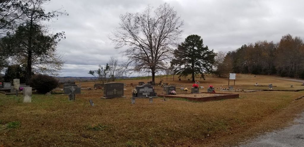
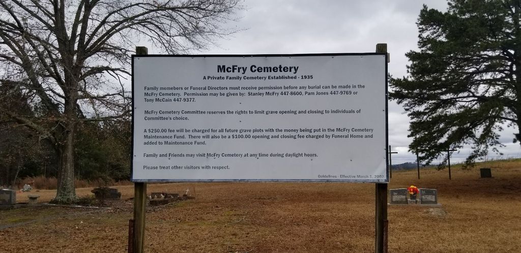
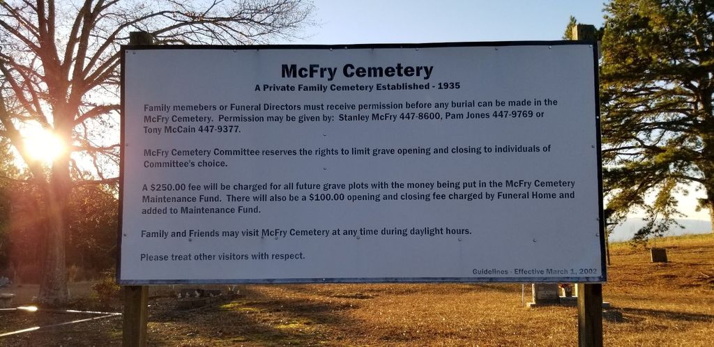
| Description | : | McFry Cemetery was established as a Family Cemetery in 1935. For many years McFry Cemetery was referred to as the new part of Hanks Cemetery, but they have always been two separate cemeteries, even though they are in close proximity to each other. After issues in 1998 the cemetery was again in dispute. On October 3, 2001 a Motion for Summary Judgment was made that deemed McFry Cemetery as a cemetery established by the McFry family. |
frequently asked questions (FAQ):
-
Where is McFry Cemetery?
McFry Cemetery is located at Babbling Brook Road Piedmont, Calhoun County ,Alabama , 36272USA.
-
McFry Cemetery cemetery's updated grave count on graveviews.com?
0 memorials
-
Where are the coordinates of the McFry Cemetery?
Latitude: 33.9109690
Longitude: -85.5753790
Nearby Cemetories:
1. Hanks Cemetery
Piedmont, Calhoun County, USA
Coordinate: 33.9124985, -85.5764008
2. J T Kerr Family Cemetery
Piedmont, Calhoun County, USA
Coordinate: 33.9056400, -85.5655900
3. Piedmont Memory Gardens
Piedmont, Calhoun County, USA
Coordinate: 33.9241900, -85.5926400
4. Wilson Family Cemetery
Vigo, Calhoun County, USA
Coordinate: 33.9130030, -85.5489440
5. Ladiga Cemetery
Ladiga, Calhoun County, USA
Coordinate: 33.9399986, -85.5746994
6. Old Piedmont Cemetery
Piedmont, Calhoun County, USA
Coordinate: 33.9260063, -85.6131363
7. Philadelphia Baptist Church Cemetery
Vigo, Calhoun County, USA
Coordinate: 33.9413986, -85.5466995
8. Highland Cemetery
Piedmont, Calhoun County, USA
Coordinate: 33.9331017, -85.6153030
9. Carmel Presbyterian Church Cemetery
Spring Garden, Cherokee County, USA
Coordinate: 33.9597015, -85.5753021
10. Faith Baptist Church Cemetery
Piedmont, Calhoun County, USA
Coordinate: 33.9649620, -85.5547270
11. Grimes Cemetery
Cleburne County, USA
Coordinate: 33.8572006, -85.5457993
12. Graham Cemetery
Spring Garden, Cherokee County, USA
Coordinate: 33.9694140, -85.5616508
13. Goshen Valley Cemetery
Cherokee County, USA
Coordinate: 33.9622002, -85.6172028
14. Farmer Cemetery
Cherokee County, USA
Coordinate: 33.9716988, -85.5935974
15. Dunn Cemetery
Cleburne County, USA
Coordinate: 33.8464012, -85.5958023
16. Mount Pleasant Cemetery
Pleasant Gap, Cherokee County, USA
Coordinate: 33.9783470, -85.5242420
17. John Borden Cemetery
Calhoun County, USA
Coordinate: 33.9214000, -85.4800000
18. Steed Cemetery
Oak Level, Cleburne County, USA
Coordinate: 33.8572006, -85.5030975
19. Church of Christ Cemetery
Borden Springs, Cleburne County, USA
Coordinate: 33.9218740, -85.4745850
20. Pleasant Gap Cemetery
Pleasant Gap, Cherokee County, USA
Coordinate: 33.9916992, -85.5216980
21. Lebanon United Methodist Church Cemetery
Pleasant Gap, Cherokee County, USA
Coordinate: 34.0060997, -85.5528030
22. Oak Level Methodist Church Cemetery
Oak Level, Cleburne County, USA
Coordinate: 33.8503418, -85.4796219
23. Robertson Cemetery
Piedmont, Calhoun County, USA
Coordinate: 33.9504800, -85.6862200
24. Nances Creek United Methodist Church Cemetery
Jacksonville, Calhoun County, USA
Coordinate: 33.8506012, -85.6731033


