
| Memorials | : | 6 |
| Location | : | Glenallen, Bollinger County, USA |
| Coordinate | : | 37.2840300, -90.1131100 |
frequently asked questions (FAQ):
-
Where is McGee Chapel Cemetery?
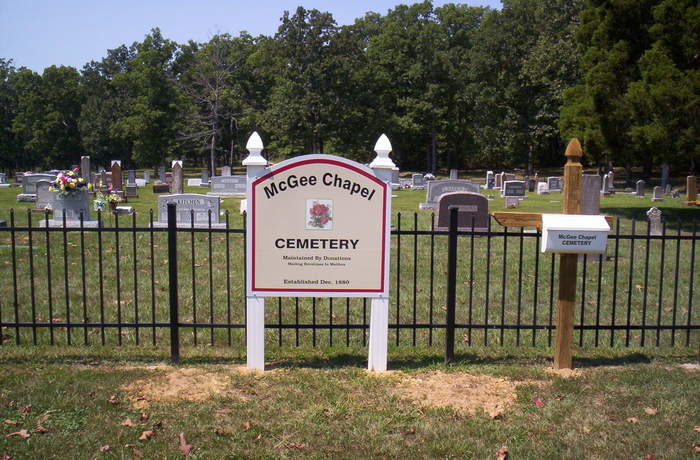
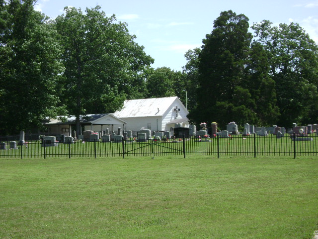
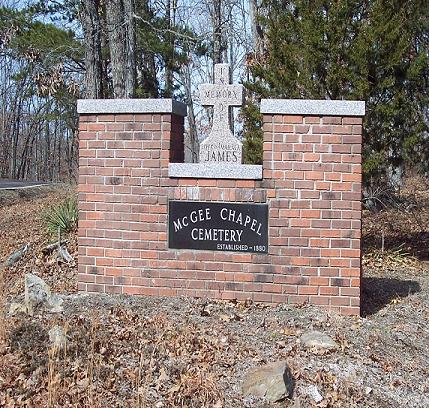
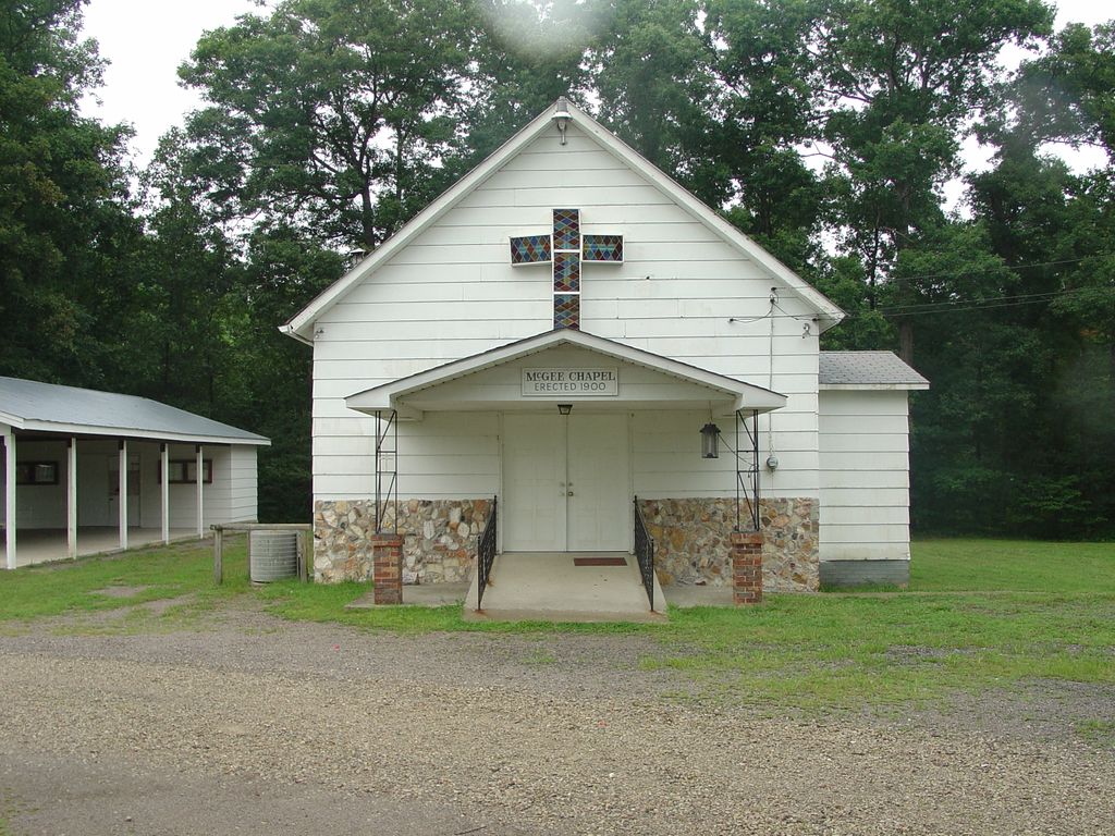
McGee Chapel Cemetery is located at Glenallen, Bollinger County ,Missouri ,USA.
-
McGee Chapel Cemetery cemetery's updated grave count on graveviews.com?
5 memorials
-
Where are the coordinates of the McGee Chapel Cemetery?
Latitude: 37.2840300
Longitude: -90.1131100
Nearby Cemetories:
1. Floyd Cemetery
Grassy, Bollinger County, USA
Coordinate: 37.2808647, -90.1035919
2. Myers Cemetery
Huxie, Bollinger County, USA
Coordinate: 37.2677994, -90.0839005
3. Mouser Cemetery
Lodge, Bollinger County, USA
Coordinate: 37.3147011, -90.1222000
4. Ray Cemetery
Bollinger County, USA
Coordinate: 37.2655983, -90.1605988
5. Lower Grassy-Rea Cemetery
Grassy, Bollinger County, USA
Coordinate: 37.2656097, -90.1606598
6. Grassy Friendship Cemetery
Grassy, Bollinger County, USA
Coordinate: 37.2521858, -90.1542053
7. New Trace Creek Baptist Church Cemetery
Glenallen, Bollinger County, USA
Coordinate: 37.3307190, -90.1182785
8. Shelton Cemetery
Huxie, Bollinger County, USA
Coordinate: 37.2556000, -90.0481033
9. Patterson Cemetery
Grassy, Bollinger County, USA
Coordinate: 37.2228012, -90.1144028
10. Old Trace Creek Cemetery
Glenallen, Bollinger County, USA
Coordinate: 37.3459900, -90.1273600
11. Cane Creek Cemetery
Huxie, Bollinger County, USA
Coordinate: 37.2468987, -90.0485992
12. Scott Cemetery
Grassy, Bollinger County, USA
Coordinate: 37.2350006, -90.1680984
13. Upper Deck Cemetery
Glenallen, Bollinger County, USA
Coordinate: 37.3236008, -90.0444031
14. Dry Creek Cemetery
Lutesville, Bollinger County, USA
Coordinate: 37.2675018, -90.0291977
15. James Cemetery
Bollinger County, USA
Coordinate: 37.2346600, -90.0478900
16. Glen Allen Cemetery
Glenallen, Bollinger County, USA
Coordinate: 37.3201100, -90.0320100
17. Kinder Chapel Cemetery
Castor, Bollinger County, USA
Coordinate: 37.3046989, -90.2138977
18. Lower Deck Cemetery
Lutesville, Bollinger County, USA
Coordinate: 37.3078003, -90.0119019
19. Moores Chapel Cemetery
Marquand, Madison County, USA
Coordinate: 37.3642170, -90.1567770
20. Patterson Family Cemetery
Bollinger County, USA
Coordinate: 37.2511100, -90.0107100
21. Myers Cemetery
Glenallen, Bollinger County, USA
Coordinate: 37.3171997, -90.0096970
22. Burk Cemetery
Grassy, Bollinger County, USA
Coordinate: 37.2429110, -90.2173680
23. Crites Cemetery
Trowel, Bollinger County, USA
Coordinate: 37.2318993, -90.0164032
24. Rock Point Cemetery
Madison County, USA
Coordinate: 37.3738200, -90.1524760