| Memorials | : | 0 |
| Location | : | Huxie, Bollinger County, USA |
| Coordinate | : | 37.2468987, -90.0485992 |
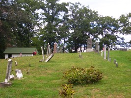
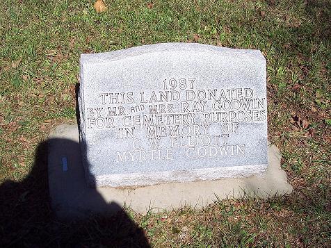
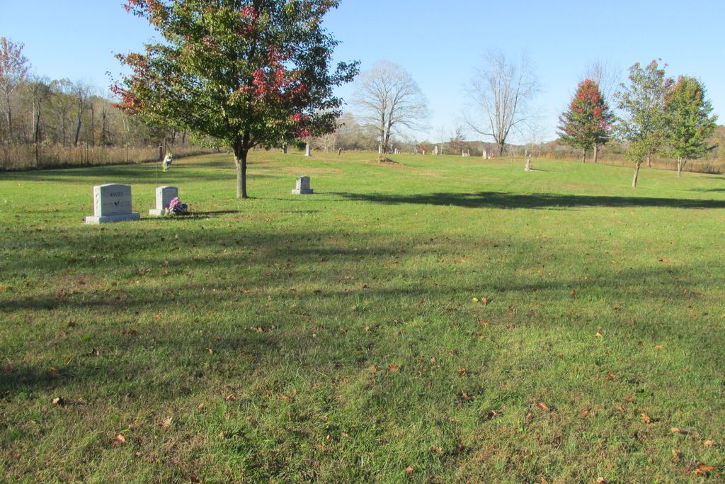
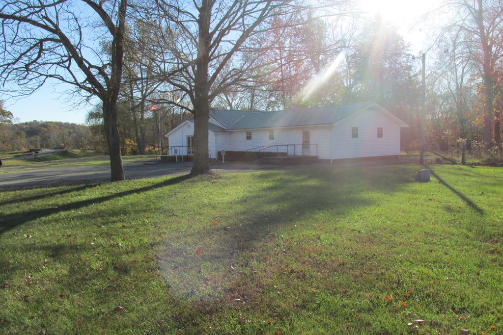
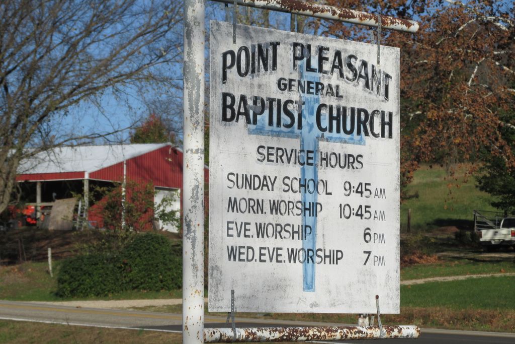
| Description | : | From Marble Hill, MO take Hwy 51 south to FF Hwy; turn right (West) on FF and go four miles to Point Pleasant General Baptist Church on right (North side of road). Cemetery located near church. This is a very old cemetery; and pre-dates the church. The first burials are believed to be Presley and Clementine (Francis) Myers who died in 1852. The church was originally established in 1890 in the Gregory community; then moved to Huxie on Cane Creek in 1932. A new building was dedicated in 1956. |
frequently asked questions (FAQ):
-
Where is Cane Creek Cemetery?
Cane Creek Cemetery is located at Huxie, Bollinger County ,Missouri ,USA.
-
Cane Creek Cemetery cemetery's updated grave count on graveviews.com?
0 memorials
-
Where are the coordinates of the Cane Creek Cemetery?
Latitude: 37.2468987
Longitude: -90.0485992
Nearby Cemetories:
1. Shelton Cemetery
Huxie, Bollinger County, USA
Coordinate: 37.2556000, -90.0481033
2. James Cemetery
Bollinger County, USA
Coordinate: 37.2346600, -90.0478900
3. Dry Creek Cemetery
Lutesville, Bollinger County, USA
Coordinate: 37.2675018, -90.0291977
4. Crites Cemetery
Trowel, Bollinger County, USA
Coordinate: 37.2318993, -90.0164032
5. Patterson Family Cemetery
Bollinger County, USA
Coordinate: 37.2511100, -90.0107100
6. Clubb Creek Church Cemetery
Trowel, Bollinger County, USA
Coordinate: 37.2318306, -90.0125275
7. Myers Cemetery
Huxie, Bollinger County, USA
Coordinate: 37.2677994, -90.0839005
8. Bollinger County Memorial Park Cemetery
Marble Hill, Bollinger County, USA
Coordinate: 37.2689018, -89.9871979
9. Baker Cemetery
Marble Hill, Bollinger County, USA
Coordinate: 37.2722015, -89.9869003
10. Floyd Cemetery
Grassy, Bollinger County, USA
Coordinate: 37.2808647, -90.1035919
11. Eakers Cemetery
Hahn, Bollinger County, USA
Coordinate: 37.1939011, -90.0736008
12. Patterson Cemetery
Grassy, Bollinger County, USA
Coordinate: 37.2228012, -90.1144028
13. McGee Chapel Cemetery
Glenallen, Bollinger County, USA
Coordinate: 37.2840300, -90.1131100
14. Lower Deck Cemetery
Lutesville, Bollinger County, USA
Coordinate: 37.3078003, -90.0119019
15. Union Hill Baptist Cemetery
Zalma, Bollinger County, USA
Coordinate: 37.1798100, -90.0643300
16. Virgin Burial Ground
Zalma, Bollinger County, USA
Coordinate: 37.1791930, -90.0630860
17. Hahn Cemetery
Lutesville, Bollinger County, USA
Coordinate: 37.2886009, -89.9772034
18. Slaybaugh Cemetery
Lutesville, Bollinger County, USA
Coordinate: 37.2982150, -89.9851870
19. Shell Cemetery
Lutesville, Bollinger County, USA
Coordinate: 37.2839012, -89.9693985
20. Mansker Cemetery
Dongola, Bollinger County, USA
Coordinate: 37.1907997, -89.9891968
21. Glen Allen Cemetery
Glenallen, Bollinger County, USA
Coordinate: 37.3201100, -90.0320100
22. Upper Deck Cemetery
Glenallen, Bollinger County, USA
Coordinate: 37.3236008, -90.0444031
23. White Cemetery
Hahn, Bollinger County, USA
Coordinate: 37.1782990, -90.0919037
24. Myers Cemetery
Glenallen, Bollinger County, USA
Coordinate: 37.3171997, -90.0096970

