
| Memorials | : | 0 |
| Location | : | Knob Lick, Metcalfe County, USA |
| Coordinate | : | 37.0562470, -85.6842290 |
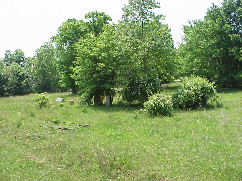
| Description | : | At Knob Lick, KY on Hwy 70, turn south on Hwy 1243, travel 1.5 miles, turn right onto the Owen Fields Road at Ebenezer Church. Travel .3 miles, turn left and travel .3 miles to the end of the road. The cemetery is on the left side of the house. (From: "Metcalfe County Cemetery Records Volume 1, by Metcalfe County Historical Society) When standing at the cemetery and looking back at the house, family is on the left, slave graves are on the right,marked only by stones . 9 graves are identifiable, 37 graves unidentifiable. The cemetery... Read More |
frequently asked questions (FAQ):
-
Where is McInteer Cemetery?
McInteer Cemetery is located at Wayne Poynter Road Knob Lick, Metcalfe County ,Kentucky , 42129USA.
-
McInteer Cemetery cemetery's updated grave count on graveviews.com?
0 memorials
-
Where are the coordinates of the McInteer Cemetery?
Latitude: 37.0562470
Longitude: -85.6842290
Nearby Cemetories:
1. Grissom-Doughtery Cemetery
Knob Lick, Metcalfe County, USA
Coordinate: 37.0518890, -85.6779100
2. Robertson Cemetery
Knob Lick, Metcalfe County, USA
Coordinate: 37.0633560, -85.6874870
3. Ennis Cemetery
Knob Lick, Metcalfe County, USA
Coordinate: 37.0614560, -85.6743590
4. Shuffet Cemetery
Knob Lick, Metcalfe County, USA
Coordinate: 37.0615920, -85.6743930
5. Pedigo Cemetery
Knob Lick, Metcalfe County, USA
Coordinate: 37.0617450, -85.6743270
6. Locust Grove Cemetery
Knob Lick, Metcalfe County, USA
Coordinate: 37.0620220, -85.6742200
7. Garmon Cemetery
Knob Lick, Metcalfe County, USA
Coordinate: 37.0621760, -85.6741200
8. Tibbs Burial Grounds
Knob Lick, Metcalfe County, USA
Coordinate: 37.0627950, -85.6741820
9. Smith Cemetery
Knob Lick, Metcalfe County, USA
Coordinate: 37.0422290, -85.6801520
10. Ebenezer Cemetery
Knob Lick, Metcalfe County, USA
Coordinate: 37.0719910, -85.6841650
11. Ball Cemetery
Knob Lick, Metcalfe County, USA
Coordinate: 37.0544510, -85.7039550
12. Forrest Cemetery
Knob Lick, Metcalfe County, USA
Coordinate: 37.0496940, -85.7044070
13. George W Carter Cemetery
New Liberty, Metcalfe County, USA
Coordinate: 37.0380600, -85.6894350
14. Shannon-Ballard Cemetery
Knob Lick, Metcalfe County, USA
Coordinate: 37.0759490, -85.6939330
15. Hill Cemetery
Knob Lick, Metcalfe County, USA
Coordinate: 37.0361110, -85.6930560
16. Dilley Cemetery
Wisdom, Metcalfe County, USA
Coordinate: 37.0347220, -85.6916670
17. Huffman Cemetery
Wisdom, Metcalfe County, USA
Coordinate: 37.0347730, -85.6974960
18. Brown Cemetery
Wisdom, Metcalfe County, USA
Coordinate: 37.0322300, -85.6866040
19. Antioch Missionary Baptist Cemetery
Knob Lick, Metcalfe County, USA
Coordinate: 37.0800540, -85.6896200
20. Sowers - Grissom Cemetery
Knob Lick, Metcalfe County, USA
Coordinate: 37.0343380, -85.6666740
21. Price-Clark Cemetery
Knob Lick, Metcalfe County, USA
Coordinate: 37.0395410, -85.6584010
22. Beard-Allen Cemetery
Knob Lick, Metcalfe County, USA
Coordinate: 37.0820000, -85.6964840
23. Galloway Cemetery
Wisdom, Metcalfe County, USA
Coordinate: 37.0283570, -85.6894410
24. Lee Cemetery
Sulphur Well, Metcalfe County, USA
Coordinate: 37.0834990, -85.6746260