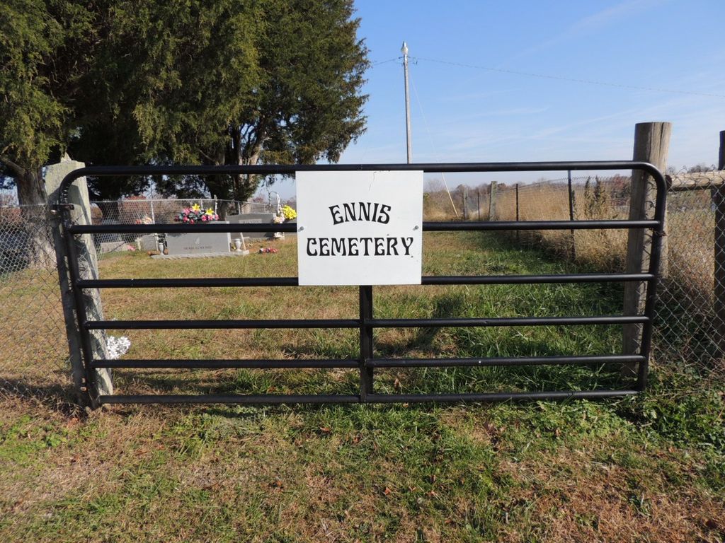
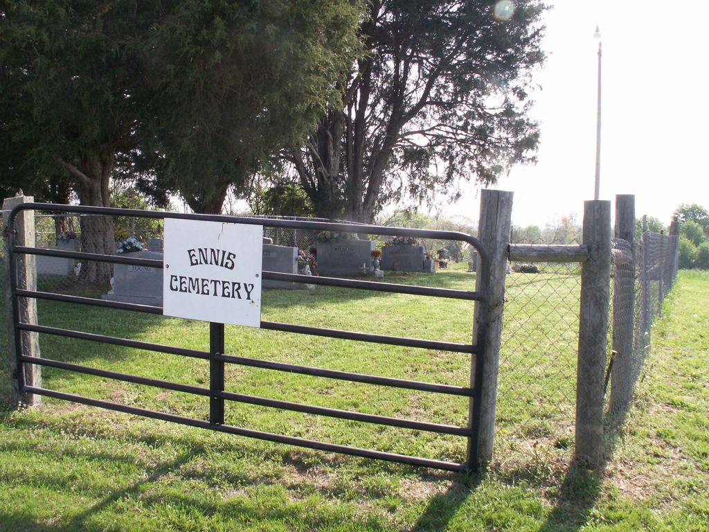
| Memorials | : | 0 |
| Location | : | Knob Lick, Metcalfe County, USA |
| Coordinate | : | 37.0614560, -85.6743590 |
| Description | : | There are 5 different cemeteries here. They are fenced off. Located on Anderson Perkins Road, off state highway 1243. |
frequently asked questions (FAQ):
-
Where is Ennis Cemetery?
Ennis Cemetery is located at Anderson Perkins Rd Knob Lick, Metcalfe County ,Kentucky ,USA.
-
Ennis Cemetery cemetery's updated grave count on graveviews.com?
0 memorials
-
Where are the coordinates of the Ennis Cemetery?
Latitude: 37.0614560
Longitude: -85.6743590
Nearby Cemetories:
1. Shuffet Cemetery
Knob Lick, Metcalfe County, USA
Coordinate: 37.0615920, -85.6743930
2. Pedigo Cemetery
Knob Lick, Metcalfe County, USA
Coordinate: 37.0617450, -85.6743270
3. Locust Grove Cemetery
Knob Lick, Metcalfe County, USA
Coordinate: 37.0620220, -85.6742200
4. Garmon Cemetery
Knob Lick, Metcalfe County, USA
Coordinate: 37.0621760, -85.6741200
5. Tibbs Burial Grounds
Knob Lick, Metcalfe County, USA
Coordinate: 37.0627950, -85.6741820
6. McInteer Cemetery
Knob Lick, Metcalfe County, USA
Coordinate: 37.0562470, -85.6842290
7. Grissom-Doughtery Cemetery
Knob Lick, Metcalfe County, USA
Coordinate: 37.0518890, -85.6779100
8. Robertson Cemetery
Knob Lick, Metcalfe County, USA
Coordinate: 37.0633560, -85.6874870
9. Ebenezer Cemetery
Knob Lick, Metcalfe County, USA
Coordinate: 37.0719910, -85.6841650
10. Smith Cemetery
Knob Lick, Metcalfe County, USA
Coordinate: 37.0422290, -85.6801520
11. Shannon-Ballard Cemetery
Knob Lick, Metcalfe County, USA
Coordinate: 37.0759490, -85.6939330
12. Lee Cemetery
Sulphur Well, Metcalfe County, USA
Coordinate: 37.0834990, -85.6746260
13. Antioch Missionary Baptist Cemetery
Knob Lick, Metcalfe County, USA
Coordinate: 37.0800540, -85.6896200
14. Chapman-Cox Cemetery
Sulphur Well, Metcalfe County, USA
Coordinate: 37.0850100, -85.6722260
15. Ball Cemetery
Knob Lick, Metcalfe County, USA
Coordinate: 37.0544510, -85.7039550
16. Price-Clark Cemetery
Knob Lick, Metcalfe County, USA
Coordinate: 37.0395410, -85.6584010
17. Embree Cemetery
Knob Lick, Metcalfe County, USA
Coordinate: 37.0861380, -85.6841560
18. George W Carter Cemetery
New Liberty, Metcalfe County, USA
Coordinate: 37.0380600, -85.6894350
19. Forrest Cemetery
Knob Lick, Metcalfe County, USA
Coordinate: 37.0496940, -85.7044070
20. Beard-Allen Cemetery
Knob Lick, Metcalfe County, USA
Coordinate: 37.0820000, -85.6964840
21. Sowers - Grissom Cemetery
Knob Lick, Metcalfe County, USA
Coordinate: 37.0343380, -85.6666740
22. Hill Cemetery
Knob Lick, Metcalfe County, USA
Coordinate: 37.0361110, -85.6930560
23. Thompson Cemetery
Knob Lick, Metcalfe County, USA
Coordinate: 37.0847450, -85.6516670
24. Tobey Cemetery
Metcalfe County, USA
Coordinate: 37.0399600, -85.6481670


