
| Memorials | : | 0 |
| Location | : | Knob Lick, Metcalfe County, USA |
| Coordinate | : | 37.0800540, -85.6896200 |
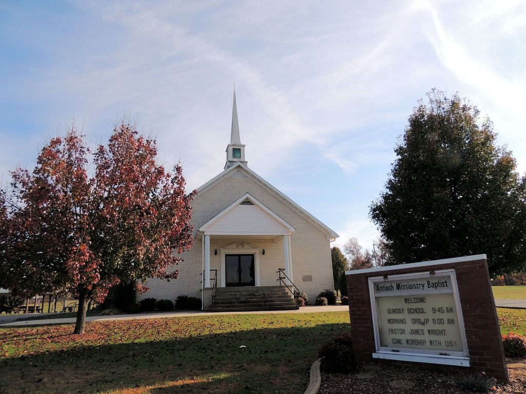
| Description | : | The cemetery is located behind the church on the south side of Sulphur Well Knob Lick Road (Kentucky State Highway 70). |
frequently asked questions (FAQ):
-
Where is Antioch Missionary Baptist Cemetery?
Antioch Missionary Baptist Cemetery is located at Sulphur Well Knob Lick Road (Kentucky State Highway 70) Knob Lick, Metcalfe County ,Kentucky , 42154USA.
-
Antioch Missionary Baptist Cemetery cemetery's updated grave count on graveviews.com?
0 memorials
-
Where are the coordinates of the Antioch Missionary Baptist Cemetery?
Latitude: 37.0800540
Longitude: -85.6896200
Nearby Cemetories:
1. Shannon-Ballard Cemetery
Knob Lick, Metcalfe County, USA
Coordinate: 37.0759490, -85.6939330
2. Beard-Allen Cemetery
Knob Lick, Metcalfe County, USA
Coordinate: 37.0820000, -85.6964840
3. Embree Cemetery
Knob Lick, Metcalfe County, USA
Coordinate: 37.0861380, -85.6841560
4. Ebenezer Cemetery
Knob Lick, Metcalfe County, USA
Coordinate: 37.0719910, -85.6841650
5. Lee Cemetery
Sulphur Well, Metcalfe County, USA
Coordinate: 37.0834990, -85.6746260
6. Chapman-Cox Cemetery
Sulphur Well, Metcalfe County, USA
Coordinate: 37.0850100, -85.6722260
7. Walker-Lee-Bradley Cemetery
Knob Lick, Metcalfe County, USA
Coordinate: 37.0856810, -85.7070130
8. Robertson Cemetery
Knob Lick, Metcalfe County, USA
Coordinate: 37.0633560, -85.6874870
9. Spencer Cemetery
Knob Lick, Metcalfe County, USA
Coordinate: 37.0975430, -85.6868980
10. Douglas Cemetery
Knob Lick, Metcalfe County, USA
Coordinate: 37.0962070, -85.6755610
11. Tibbs Burial Grounds
Knob Lick, Metcalfe County, USA
Coordinate: 37.0627950, -85.6741820
12. Garmon Cemetery
Knob Lick, Metcalfe County, USA
Coordinate: 37.0621760, -85.6741200
13. Locust Grove Cemetery
Knob Lick, Metcalfe County, USA
Coordinate: 37.0620220, -85.6742200
14. Pedigo Cemetery
Knob Lick, Metcalfe County, USA
Coordinate: 37.0617450, -85.6743270
15. Shuffet Cemetery
Knob Lick, Metcalfe County, USA
Coordinate: 37.0615920, -85.6743930
16. Ennis Cemetery
Knob Lick, Metcalfe County, USA
Coordinate: 37.0614560, -85.6743590
17. Thompson Cemetery
Sulphur Well, Metcalfe County, USA
Coordinate: 37.0988090, -85.7053110
18. Bennett-Huffman Cemetery
Knob Lick, Metcalfe County, USA
Coordinate: 37.0714030, -85.7172180
19. McInteer Cemetery
Knob Lick, Metcalfe County, USA
Coordinate: 37.0562470, -85.6842290
20. Kinser Grave
Knob Lick, Metcalfe County, USA
Coordinate: 37.0975130, -85.6680540
21. Edwards-McMurray Cemetery
Knob Lick, Metcalfe County, USA
Coordinate: 37.1038970, -85.6794380
22. Embree Cemetery
Knob Lick, Metcalfe County, USA
Coordinate: 37.0999670, -85.6700440
23. Hayes Cemetery
Knob Lick, Metcalfe County, USA
Coordinate: 37.1027780, -85.7038890
24. Woodward Cemetery
Savoyard, Metcalfe County, USA
Coordinate: 37.0954710, -85.7159560