
| Memorials | : | 1 |
| Location | : | Danville, Knox County, USA |
| Coordinate | : | 40.4306204, -82.2443237 |
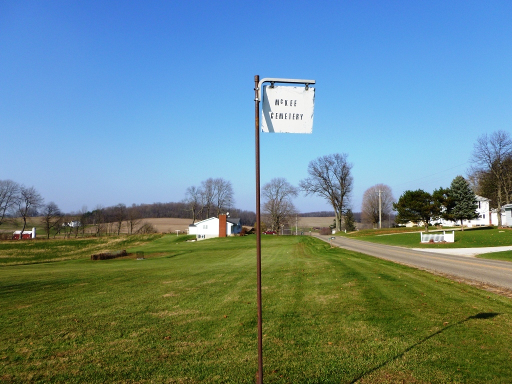
| Description | : | The cemetery is located on the west side of Flat Run Road (County Road 40) about 0.2 mile south of its intersection with Hoover Road (Township Road 213). The cemetery is located in Union Township, Knox County, Ohio, and is # 6286 (McKee Cemetery / Hawn Cemetery) in “Ohio Cemeteries 1803-2003”, compiled by the Ohio Genealogical Society. The cemetery is registered with the Ohio Division of Real Estate and Professional Licensing (ODRE) as McKee Cemetery with registration license number CGR.0000982170. The U.S. Geological Survey (USGS) Geographic Names Information System (GNIS) feature ID for the cemetery is 1961267 (McKee... Read More |
frequently asked questions (FAQ):
-
Where is McKee Cemetery?
McKee Cemetery is located at Flat Run Road (County Road 40) Danville, Knox County ,Ohio , 43014USA.
-
McKee Cemetery cemetery's updated grave count on graveviews.com?
1 memorials
-
Where are the coordinates of the McKee Cemetery?
Latitude: 40.4306204
Longitude: -82.2443237
Nearby Cemetories:
1. Workman Cemetery
Danville, Knox County, USA
Coordinate: 40.4361000, -82.2636032
2. Saint Luke Cemetery
Danville, Knox County, USA
Coordinate: 40.4468994, -82.2786026
3. Mast Cemetery
Danville, Knox County, USA
Coordinate: 40.4642420, -82.2381500
4. Millwood Cemetery
Millwood, Knox County, USA
Coordinate: 40.4028015, -82.2746964
5. Hollister Cemetery
Knox County, USA
Coordinate: 40.3830986, -82.2485962
6. Banbury Cemetery
Danville, Knox County, USA
Coordinate: 40.4774490, -82.2717850
7. Brinkhaven Cemetery
Brinkhaven, Knox County, USA
Coordinate: 40.4686012, -82.1988983
8. Tiverton Baptist Church Cemetery
Tiverton Center, Coshocton County, USA
Coordinate: 40.4371400, -82.1717900
9. Riley Chapel Cemetery
Knox County, USA
Coordinate: 40.3782360, -82.2009740
10. Staats Cemetery
Millwood, Knox County, USA
Coordinate: 40.3711090, -82.2150680
11. Wright Cemetery
Howard, Knox County, USA
Coordinate: 40.4116040, -82.3264590
12. Humphrey Family Cemetery
Walhonding, Coshocton County, USA
Coordinate: 40.3969500, -82.1673110
13. Wesley Chapel Cemetery
Knox, Knox County, USA
Coordinate: 40.5022900, -82.2601600
14. Borden Cemetery
Coshocton County, USA
Coordinate: 40.4383011, -82.1446991
15. Old Jelloway Cemetery
Howard, Knox County, USA
Coordinate: 40.4240740, -82.3451150
16. Branstool-Critchfield-Shrimplin Cemetery
Howard, Knox County, USA
Coordinate: 40.4021940, -82.3393400
17. Brown Cemetery
Holmes County, USA
Coordinate: 40.4600000, -82.1491660
18. Hardinger Cemetery
Knox County, USA
Coordinate: 40.5078011, -82.2260971
19. Tiverton Cemetery
Coshocton County, USA
Coordinate: 40.4239006, -82.1371994
20. Greer Family Cemetery
Greer, Knox County, USA
Coordinate: 40.5117140, -82.2135900
21. North Bend Church of the Brethren Cemetery
Jelloway, Knox County, USA
Coordinate: 40.5047600, -82.3052700
22. Eli Nichols Family Cemetery
Walhonding, Coshocton County, USA
Coordinate: 40.3549160, -82.1847690
23. Campbell Cemetery
Knox County, USA
Coordinate: 40.3403015, -82.2636032
24. Remington Pioneer Cemetery
Holmes County, USA
Coordinate: 40.4719265, -82.1369143