
| Memorials | : | 1 |
| Location | : | Clay County, USA |
| Coordinate | : | 33.6219020, -88.7457600 |
frequently asked questions (FAQ):
-
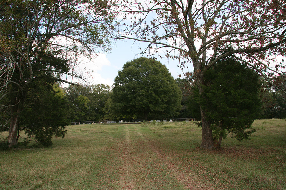
Where is McPherson Cemetery?
McPherson Cemetery is located at Clay County ,Mississippi ,USA.
-
McPherson Cemetery cemetery's updated grave count on graveviews.com?
1 memorials
-
Where are the coordinates of the McPherson Cemetery?
Latitude: 33.6219020
Longitude: -88.7457600

Nearby Cemetories:
1. Siloam Cemetery
Siloam, Clay County, USA
Coordinate: 33.6293983, -88.7491989
2. Peterson Cemetery
Siloam, Clay County, USA
Coordinate: 33.6323960, -88.7414200
3. Shaffer Cemetery
Siloam, Clay County, USA
Coordinate: 33.6290120, -88.7584200
4. Yeates Chapel Cemetery
West Point, Clay County, USA
Coordinate: 33.6512770, -88.7903140
5. Davis Family Cemetery
West Point, Clay County, USA
Coordinate: 33.6021810, -88.6940650
6. Gospel Temple Cemetery
West Point, Clay County, USA
Coordinate: 33.6221085, -88.6837006
7. New Hope Missionary Baptist Church Cemetery
West Point, Clay County, USA
Coordinate: 33.6228190, -88.6765390
8. Abbott Cemetery
Abbott, Clay County, USA
Coordinate: 33.6741982, -88.7755966
9. Greene Family Cemetery
Palo Alto, Clay County, USA
Coordinate: 33.6446830, -88.8108360
10. Watkins-Stephens Cemetery
Griffith, Clay County, USA
Coordinate: 33.6433000, -88.8247000
11. Watkins Cemetery
Clay County, USA
Coordinate: 33.6436930, -88.8247460
12. West Point Memorial Gardens Cemetery
West Point, Clay County, USA
Coordinate: 33.6500015, -88.6667023
13. Westbrook Cemetery
West Point, Clay County, USA
Coordinate: 33.6213989, -88.6572037
14. Moore Family Cemetery
Osborn, Oktibbeha County, USA
Coordinate: 33.5508650, -88.7070800
15. Cedar Bluff Methodist Cemetery
Cedar Bluff, Clay County, USA
Coordinate: 33.5893840, -88.8314800
16. Cedar Bluff M.B. Church Cemetery
Cedar Bluff, Clay County, USA
Coordinate: 33.5893800, -88.8314800
17. Mosley Cemetery
Clay County, USA
Coordinate: 33.6232986, -88.8416977
18. Episcopal Church of the Incarnation
West Point, Clay County, USA
Coordinate: 33.6052250, -88.6506360
19. Shady Grove Abbott Church Cemetery
Abbott, Clay County, USA
Coordinate: 33.7023910, -88.7571240
20. Cedar Bluff Cumberland Presbyterian Cemetery
Cedar Bluff, Clay County, USA
Coordinate: 33.5931015, -88.8439026
21. Chandler Cemetery
Clay County, USA
Coordinate: 33.6958008, -88.8050003
22. Greenwood Cemetery
West Point, Clay County, USA
Coordinate: 33.5946999, -88.6438980
23. Palo Alto Missionary Baptist Church Cemetery
Palo Alto, Clay County, USA
Coordinate: 33.6961021, -88.8060913
24. Sykes Cemetery
Aberdeen, Monroe County, USA
Coordinate: 33.7027100, -88.6980020