
| Memorials | : | 0 |
| Location | : | Clay County, USA |
| Coordinate | : | 33.6436930, -88.8247460 |
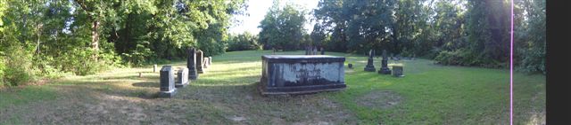
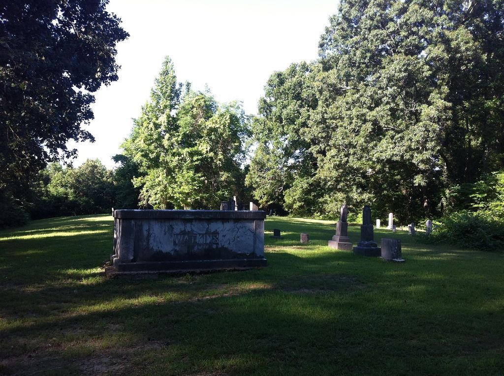
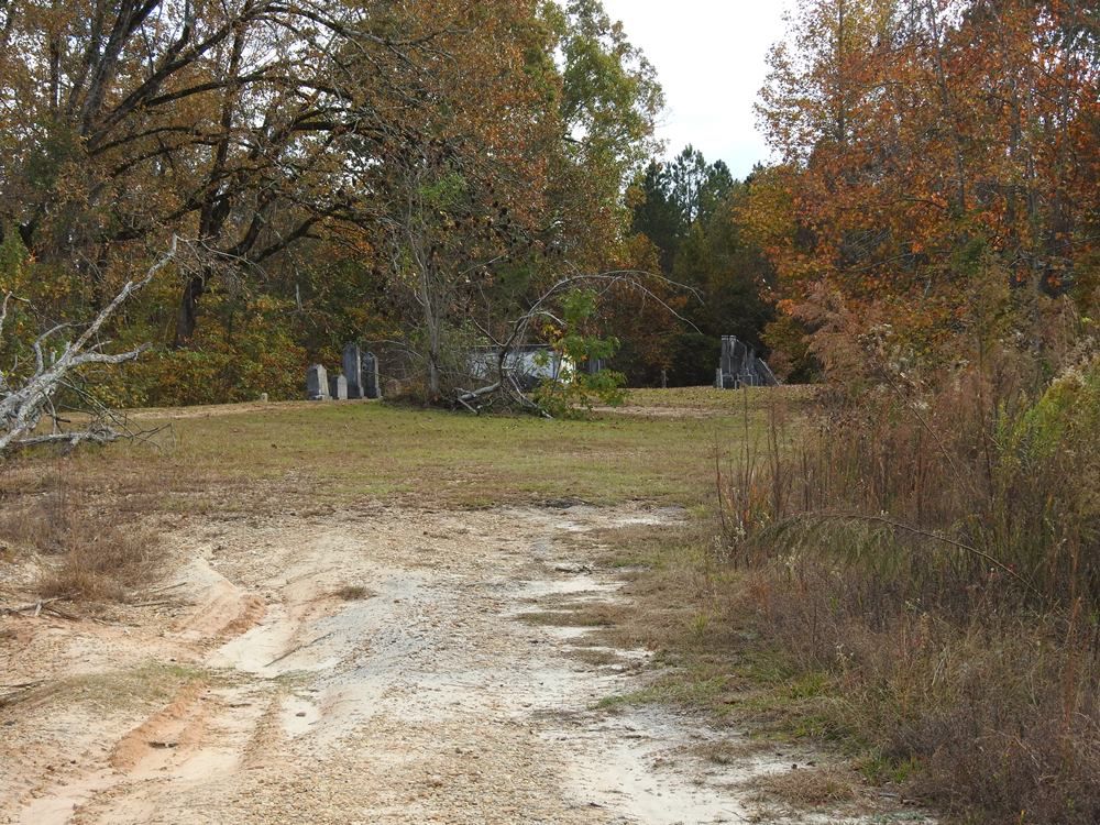
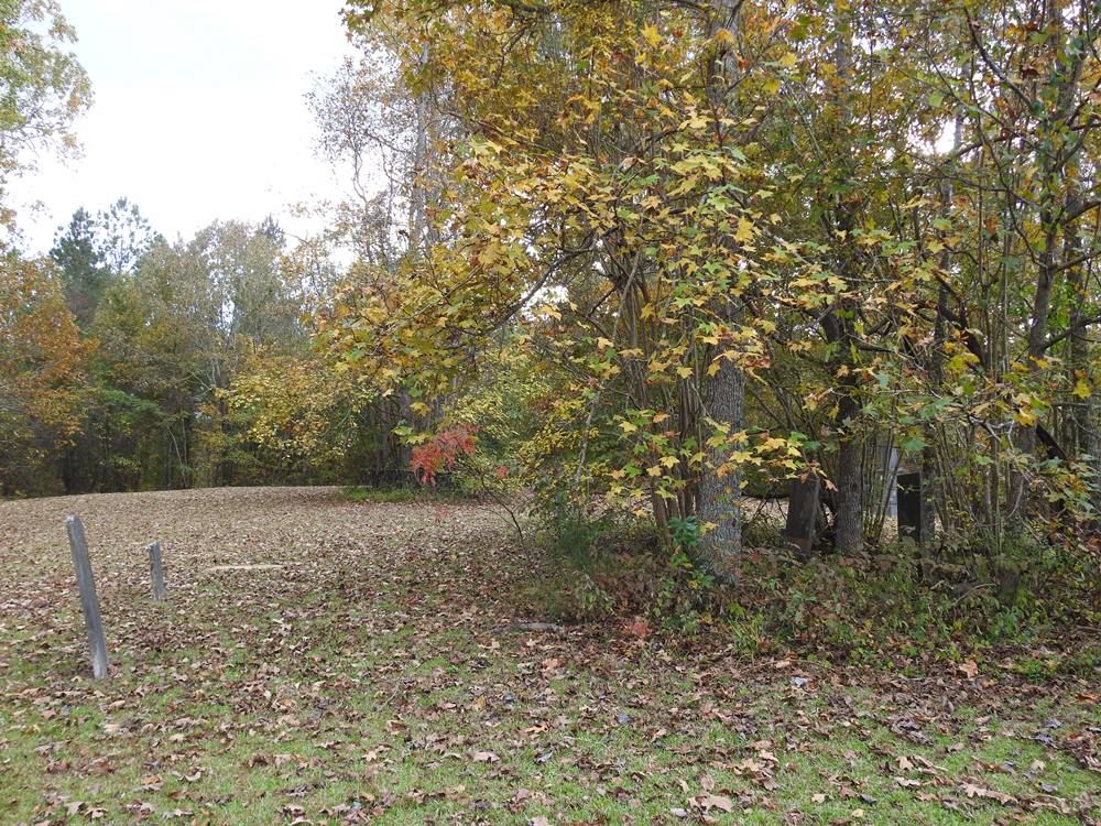
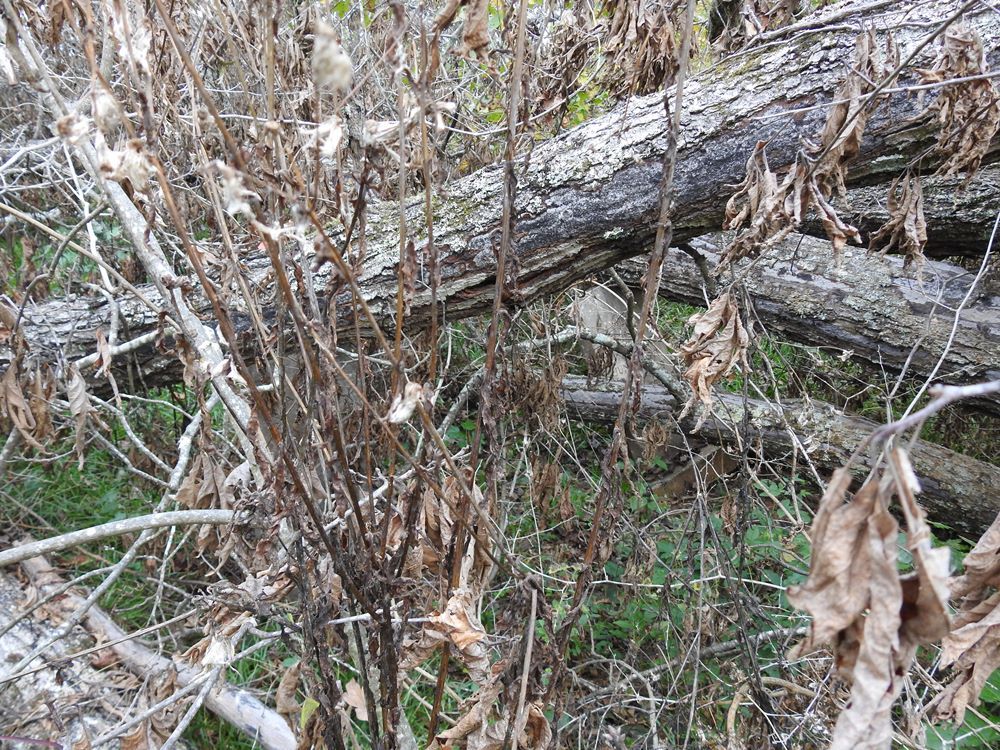
| Description | : | Visited today November 7, 2020 after an hour and a half search and talking to nearby people it was finally discovered that this cemetery is now on private property and in very bad shape. Stones are broken. Trees have fallen atop graves and crushed them. Many of the stones are either in the tree debris or buried under years of overgrown shrubs, plants and trees. It is very hard to get to and there are many people buried here that were a part of the West Point, Clay County, MS growth. The Historical Society might want to look into this... Read More |
frequently asked questions (FAQ):
-
Where is Watkins Cemetery?
Watkins Cemetery is located at Clay County ,Mississippi ,USA.
-
Watkins Cemetery cemetery's updated grave count on graveviews.com?
0 memorials
-
Where are the coordinates of the Watkins Cemetery?
Latitude: 33.6436930
Longitude: -88.8247460
Nearby Cemetories:
1. Watkins-Stephens Cemetery
Griffith, Clay County, USA
Coordinate: 33.6433000, -88.8247000
2. Greene Family Cemetery
Palo Alto, Clay County, USA
Coordinate: 33.6446830, -88.8108360
3. Mosley Cemetery
Clay County, USA
Coordinate: 33.6232986, -88.8416977
4. Yeates Chapel Cemetery
West Point, Clay County, USA
Coordinate: 33.6512770, -88.7903140
5. Hopewell Missionary Baptist Church Cemetery
Cedar Bluff, Clay County, USA
Coordinate: 33.6579540, -88.8563310
6. Abbott Cemetery
Abbott, Clay County, USA
Coordinate: 33.6741982, -88.7755966
7. Cedar Bluff Cumberland Presbyterian Cemetery
Cedar Bluff, Clay County, USA
Coordinate: 33.5931015, -88.8439026
8. Cedar Bluff Methodist Cemetery
Cedar Bluff, Clay County, USA
Coordinate: 33.5893840, -88.8314800
9. Cedar Bluff M.B. Church Cemetery
Cedar Bluff, Clay County, USA
Coordinate: 33.5893800, -88.8314800
10. Chandler Cemetery
Clay County, USA
Coordinate: 33.6958008, -88.8050003
11. Palo Alto Missionary Baptist Church Cemetery
Palo Alto, Clay County, USA
Coordinate: 33.6961021, -88.8060913
12. Shaffer Cemetery
Siloam, Clay County, USA
Coordinate: 33.6290120, -88.7584200
13. Enon Baptist Cemetery
Cairo, Clay County, USA
Coordinate: 33.6961710, -88.8663110
14. Siloam Cemetery
Siloam, Clay County, USA
Coordinate: 33.6293983, -88.7491989
15. Cairo Cumberland Presbyterian Church Cemetery
Clay County, USA
Coordinate: 33.6671660, -88.8979230
16. Palo Alto Cemetery
Palo Alto, Clay County, USA
Coordinate: 33.7089005, -88.8106003
17. McPherson Cemetery
Clay County, USA
Coordinate: 33.6219020, -88.7457600
18. Peterson Cemetery
Siloam, Clay County, USA
Coordinate: 33.6323960, -88.7414200
19. Mount Zion Cemetery
Clay County, USA
Coordinate: 33.6116982, -88.9049988
20. Hebron Cemetery
Pheba, Clay County, USA
Coordinate: 33.6136340, -88.9068440
21. Henryville Methodist Cemetery
Pheba, Clay County, USA
Coordinate: 33.6163368, -88.9111099
22. Methodist Cemetery
Clay County, USA
Coordinate: 33.6147003, -88.9105988
23. Old Montpelier Cemetery
Clay County, USA
Coordinate: 33.6949997, -88.8996964
24. Shady Grove Abbott Church Cemetery
Abbott, Clay County, USA
Coordinate: 33.7023910, -88.7571240