
| Memorials | : | 0 |
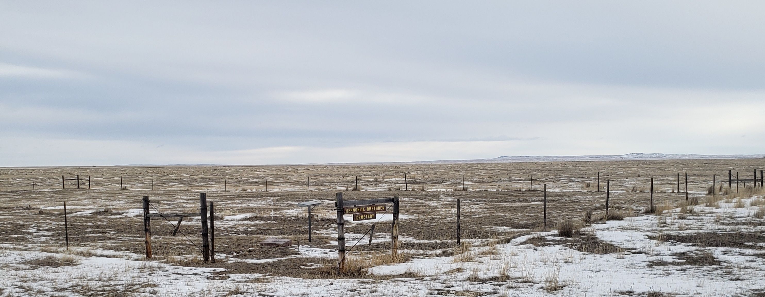
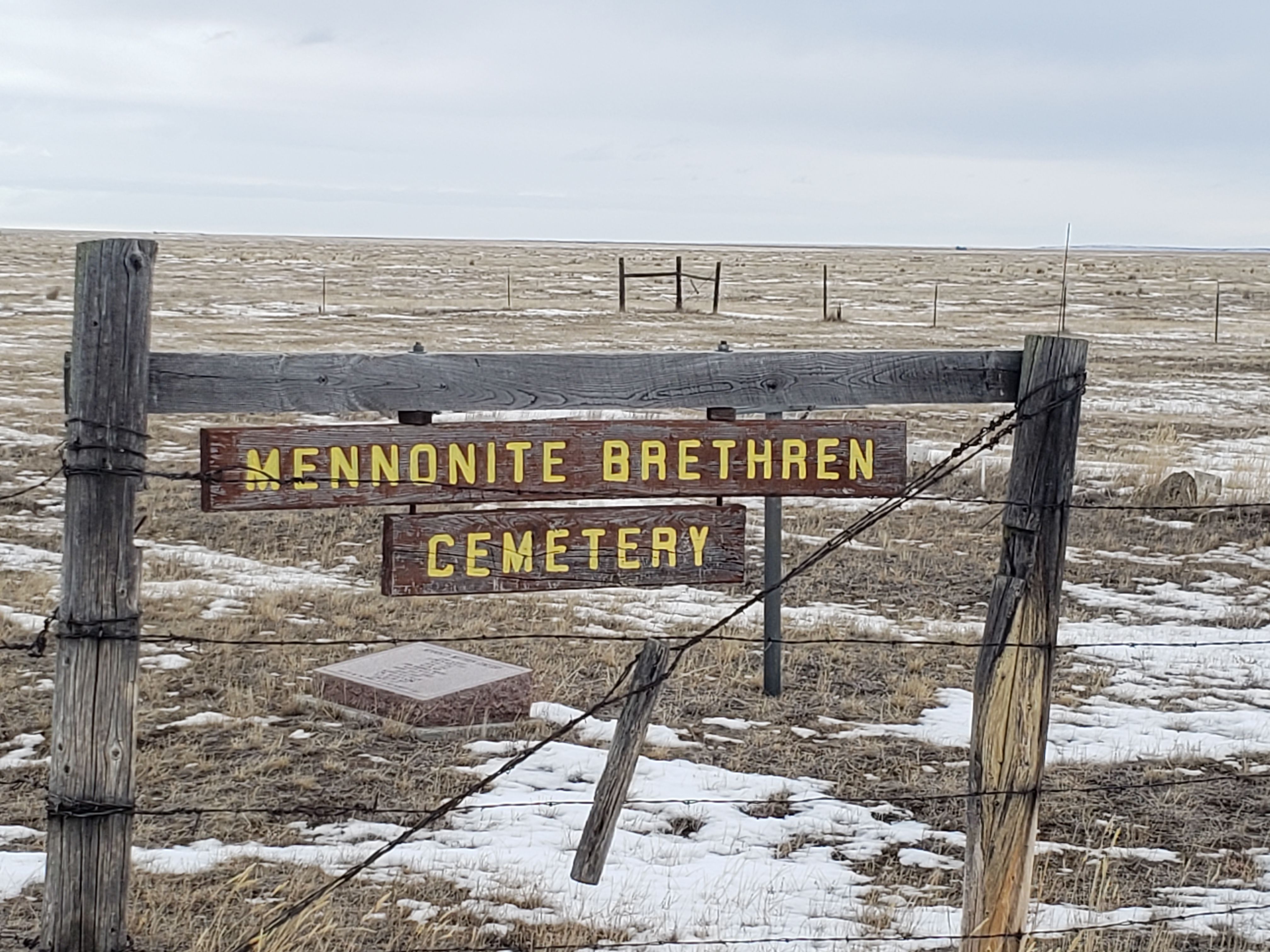
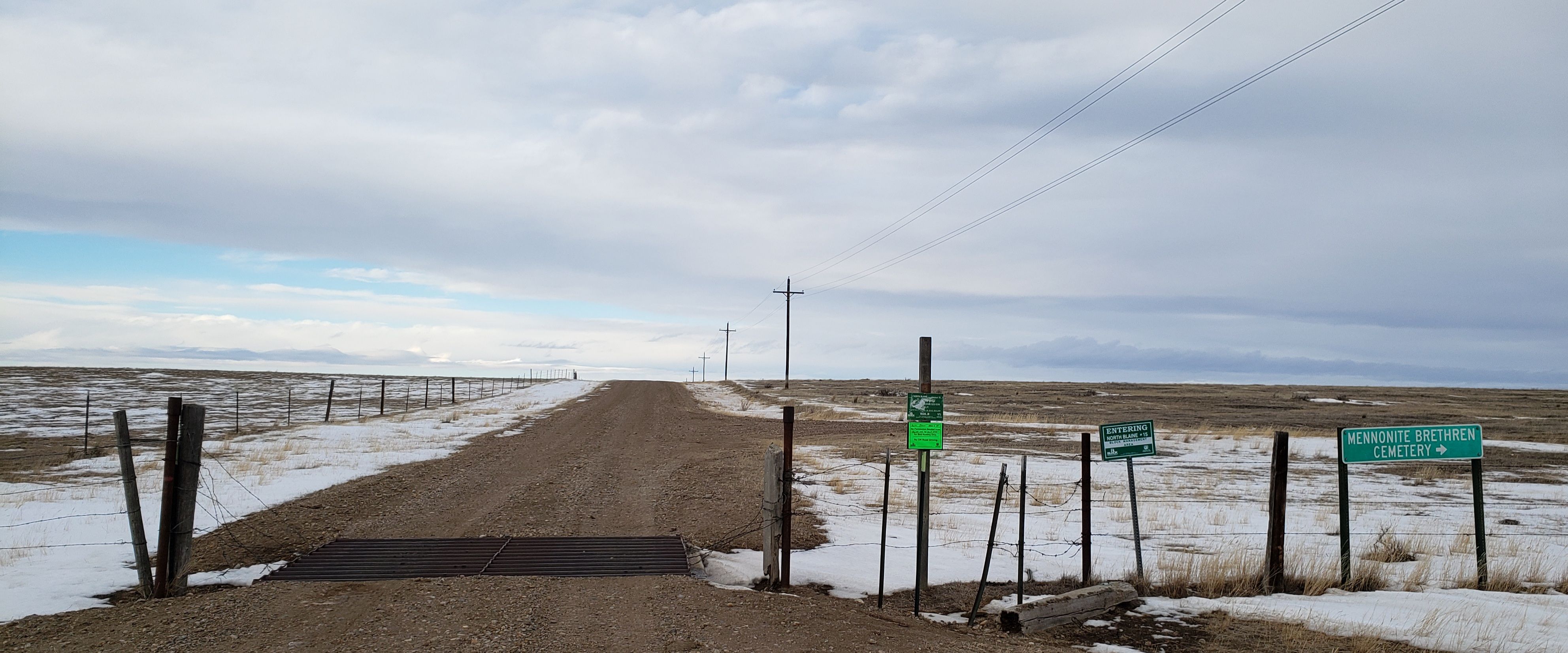
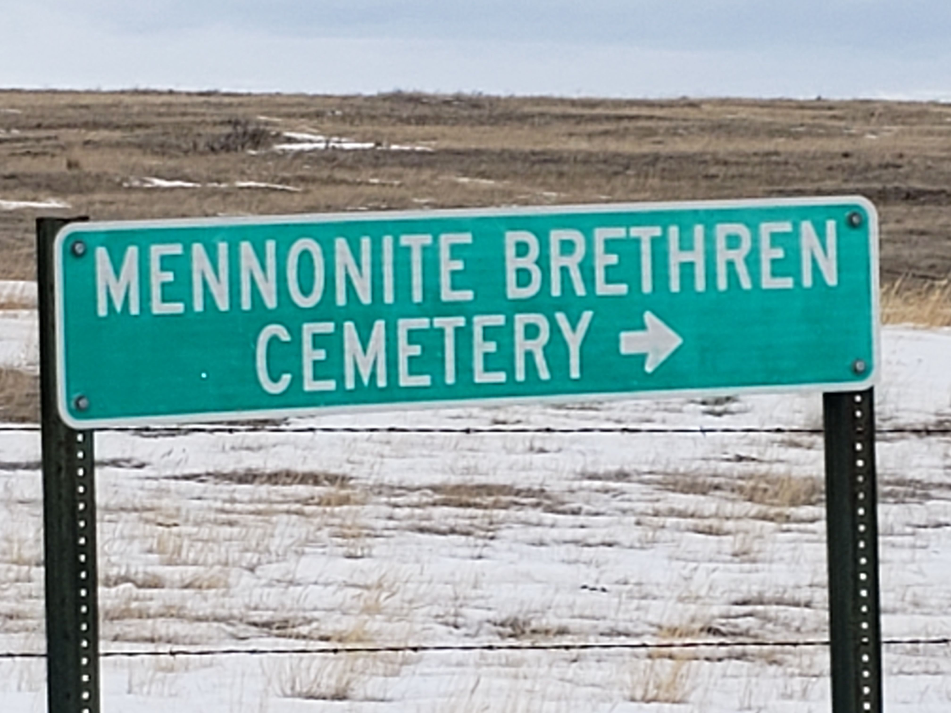
| Location | : | Chinook, Blaine County, USA |
| Coordinate | : | 48.8012560, -109.1980620 |
| Description | : | Jacob J. Entz filed on a 320 acre homestead in the W2 Sec 12, T35N, R19E. On Dec 8, l9l6, Jacob J. and Helena Entz deeded four acres in the south- west corner of the west half of Sec 12, T35N, R19E for a church. Jacob J. Entz was a pastor of the Mennonite Brethren Church. Jacob passed away June 8, 1918. so his patent was issued May 17, 1919 to Helena Entz, his wife. Helena Entz deeded the W2 Sec 12, T35N, R19E, except for the four acres for the church in the southwest corner... Read More |
frequently asked questions (FAQ):
-
Where is Mennonite Brethren Cemetery?
Mennonite Brethren Cemetery is located at Chinook, Blaine County ,Montana ,USA.
-
Mennonite Brethren Cemetery cemetery's updated grave count on graveviews.com?
0 memorials
-
Where are the coordinates of the Mennonite Brethren Cemetery?
Latitude: 48.8012560
Longitude: -109.1980620
Nearby Cemetories:
1. Bethel Bruderthaler Mennonite Church Cemetery
Chinook, Blaine County, USA
Coordinate: 48.7552000, -109.1345000
2. Hollandville Cemetery
Chinook, Blaine County, USA
Coordinate: 48.6960310, -109.1557200
3. Prairie Chapel United Brethren Cemetery
Chinook, Blaine County, USA
Coordinate: 48.8860000, -109.3414000
4. Kuper Memorial Cemetery
Chinook, Blaine County, USA
Coordinate: 48.6083100, -109.2531200
5. Saint Gabriel Cemetery
Chinook, Blaine County, USA
Coordinate: 48.6065200, -109.2531200
6. Zurich Cemetery
Zurich, Blaine County, USA
Coordinate: 48.5900000, -109.0459000
7. East End Colony Cemetery
East End Colony, Hill County, USA
Coordinate: 48.7485000, -109.5474000
8. Andrew S. Lohman Grave Site
Lohman, Blaine County, USA
Coordinate: 48.5903520, -109.4073350
9. Silver Bow Cemetery
Hogeland, Blaine County, USA
Coordinate: 48.8870000, -108.7160000
10. North Havre Lutheran Church Graveyard (Defunct)
Havre, Hill County, USA
Coordinate: 48.6538903, -109.6815870
11. Divide Cemetery
Divide, Maple Creek Census Division, Canada
Coordinate: 49.1455840, -109.0491690
12. North Harlem Colony Cemetery
North Harlem Colony, Blaine County, USA
Coordinate: 48.5855560, -108.7558330
13. Harlem Cemetery
Harlem, Blaine County, USA
Coordinate: 48.5444700, -108.7817200
14. Hilldale Hutterite Colony Cemetery
Hilldale Colony, Hill County, USA
Coordinate: 48.7997000, -109.7872000
15. Wing Cemetery
Hogeland, Blaine County, USA
Coordinate: 48.8125000, -108.5860000
16. Calvary Cemetery
Havre, Hill County, USA
Coordinate: 48.5457000, -109.6883000
17. Highland Cemetery
Havre, Hill County, USA
Coordinate: 48.5463982, -109.6900024
18. Mount Hope Cemetery
Havre, Hill County, USA
Coordinate: 48.5540000, -109.7050000
19. Bear Paw Battlefield
Chinook, Blaine County, USA
Coordinate: 48.3780070, -109.2121290
20. Agency Cemetery
Fort Belknap Agency, Blaine County, USA
Coordinate: 48.4767000, -108.7702000
21. Grainbelt Cemetery
Hill County, USA
Coordinate: 48.6828003, -109.8657990
22. Sunset Garden Park
Havre, Hill County, USA
Coordinate: 48.5531006, -109.8019028
23. Sacred Heart Catholic Cemetery
Fort Belknap Agency, Blaine County, USA
Coordinate: 48.4489000, -108.6582000
24. Turner Colony Cemetery
Turner Colony, Blaine County, USA
Coordinate: 48.7595000, -108.4369000