
| Memorials | : | 1 |
| Location | : | Watonwan County, USA |
| Coordinate | : | 43.9752990, -94.7986450 |
frequently asked questions (FAQ):
-
Where is Mennonite Church of Butterfield Cemetery?
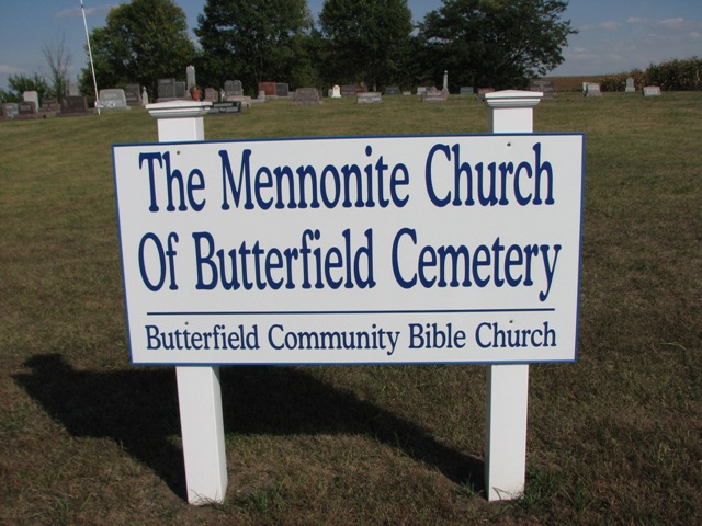
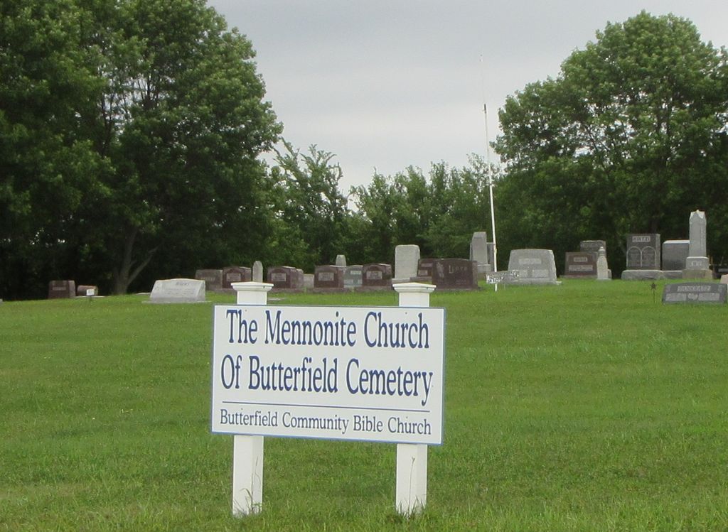
Mennonite Church of Butterfield Cemetery is located at County Road 5 Watonwan County ,Minnesota , 56120USA.
-
Mennonite Church of Butterfield Cemetery cemetery's updated grave count on graveviews.com?
1 memorials
-
Where are the coordinates of the Mennonite Church of Butterfield Cemetery?
Latitude: 43.9752990
Longitude: -94.7986450
Nearby Cemetories:
1. Butterfield City Cemetery
Butterfield, Watonwan County, USA
Coordinate: 43.9489600, -94.7909400
2. Saint Matthews Evangelical Lutheran Cemetery
Butterfield, Watonwan County, USA
Coordinate: 43.9489100, -94.7899800
3. Haseman Post Cemetery
Butterfield, Watonwan County, USA
Coordinate: 44.0215700, -94.8091700
4. First Mennonite Cemetery
Butterfield, Watonwan County, USA
Coordinate: 44.0213690, -94.7781160
5. Saint Johns Lutheran Cemetery
Darfur, Watonwan County, USA
Coordinate: 44.0508003, -94.8450012
6. Saint Johns Lutheran Cemetery
Mountain Lake, Cottonwood County, USA
Coordinate: 43.9415500, -94.9045650
7. Bethlehem Cemetery
Darfur, Watonwan County, USA
Coordinate: 44.0505981, -94.8574982
8. Kansas Lake Lutheran Cemetery
Butterfield, Watonwan County, USA
Coordinate: 43.9062119, -94.7254868
9. Mountain Lake Cemetery
Mountain Lake, Cottonwood County, USA
Coordinate: 43.9491060, -94.9353200
10. Cornerstone Bible Church Cemetery
Mountain Lake, Cottonwood County, USA
Coordinate: 43.9627991, -94.9392014
11. West Sveadahl Cemetery
Watonwan County, USA
Coordinate: 44.0722198, -94.7375031
12. Zion Lutheran Cemetery
Odin, Watonwan County, USA
Coordinate: 43.8630981, -94.7506027
13. Long Lake Lutheran Cemetery
Saint James, Watonwan County, USA
Coordinate: 43.8875008, -94.6897202
14. Elmendorf Christian Community Cemetery
Mountain Lake, Cottonwood County, USA
Coordinate: 43.8656811, -94.8747208
15. East Sveadahl Cemetery
Saint James, Watonwan County, USA
Coordinate: 44.0486107, -94.6602783
16. Schultz Cemetery
Mountain Lake, Cottonwood County, USA
Coordinate: 43.8850360, -94.9183200
17. Congregational Cemetery
Cottonwood County, USA
Coordinate: 44.0867004, -94.8780975
18. Fast Family Cemetery
Mountain Lake, Cottonwood County, USA
Coordinate: 43.9851600, -94.9752900
19. Mount Hope Cemetery
Saint James, Watonwan County, USA
Coordinate: 43.9632988, -94.6203003
20. Saint Olaf Cemetery
Martin County, USA
Coordinate: 43.8458290, -94.7736130
21. Salem German Lutheran Cemetery
Comfrey, Brown County, USA
Coordinate: 44.1099780, -94.8193220
22. Calvary Cemetery
Saint James, Watonwan County, USA
Coordinate: 43.9853410, -94.6098590
23. Mountain Lake Christian Reformed Cemetery
Cottonwood County, USA
Coordinate: 44.0570730, -94.9596980
24. Klassen Cemetery
Mountain Lake, Cottonwood County, USA
Coordinate: 43.9886000, -94.9948990