
| Memorials | : | 1 |
| Location | : | Wolverhampton, Metropolitan Borough of Wolverhampton, England |
| Coordinate | : | 52.5791660, -2.1504960 |
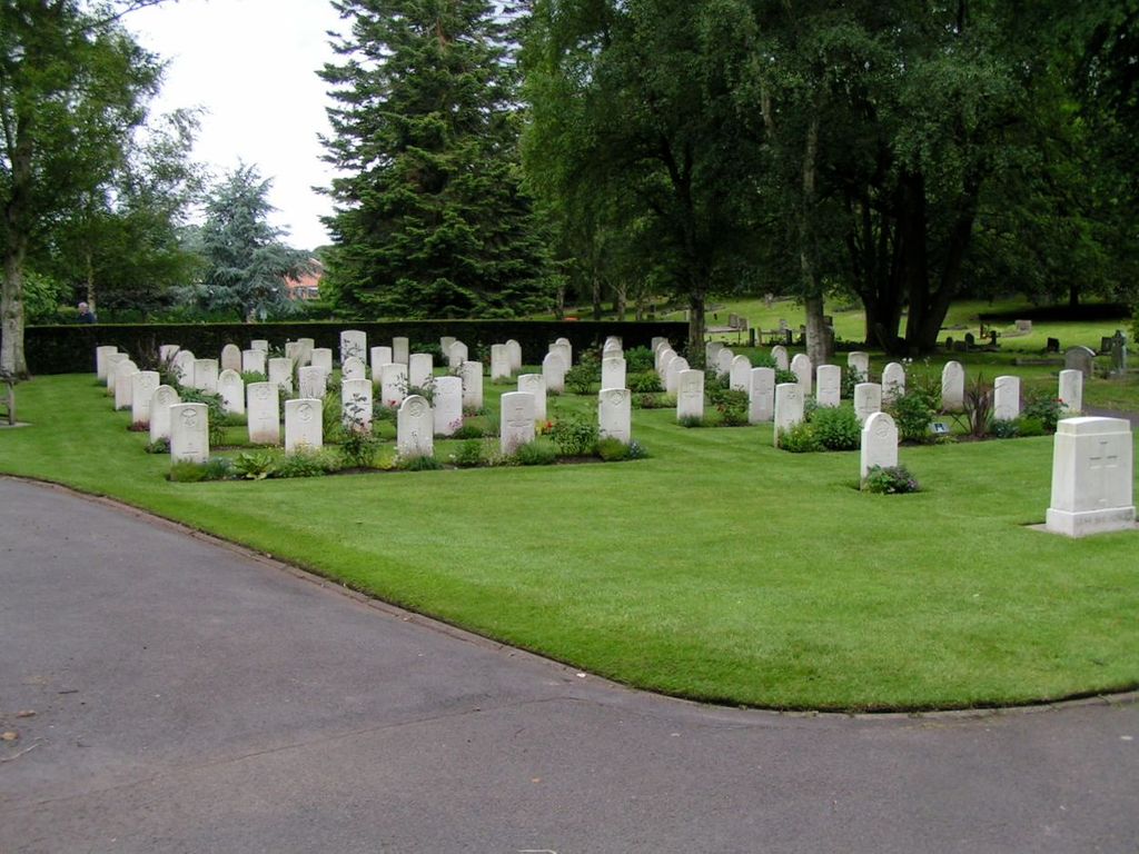
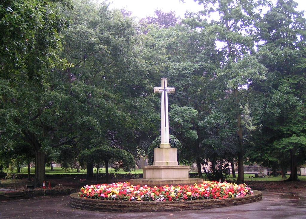
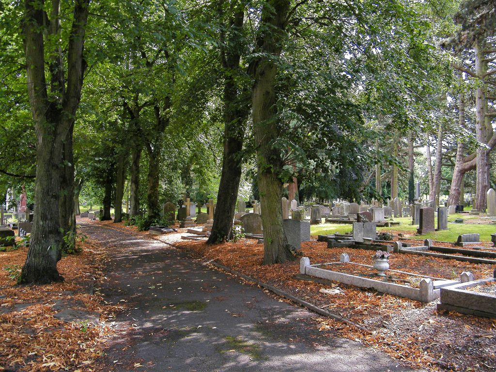
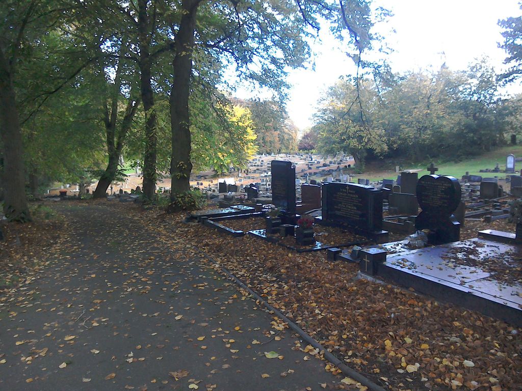
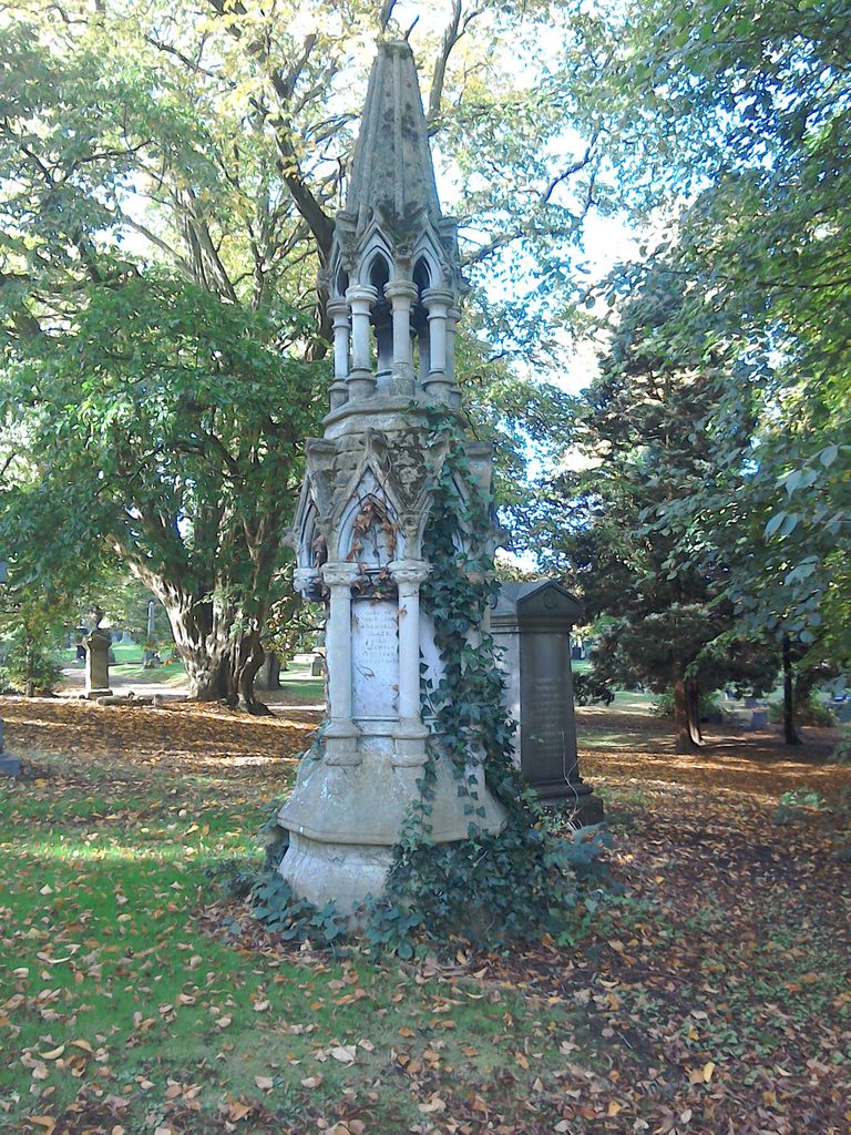
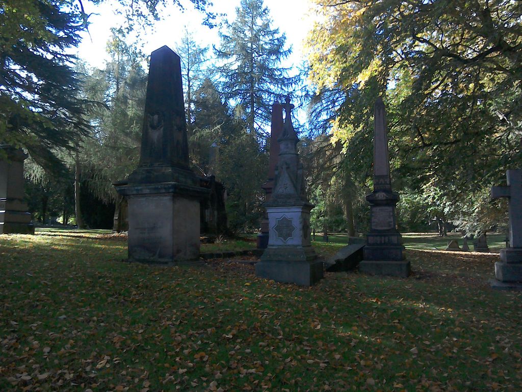
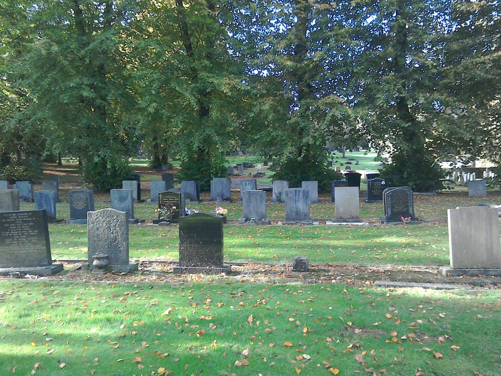
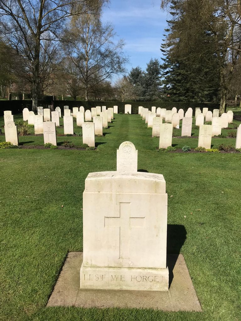
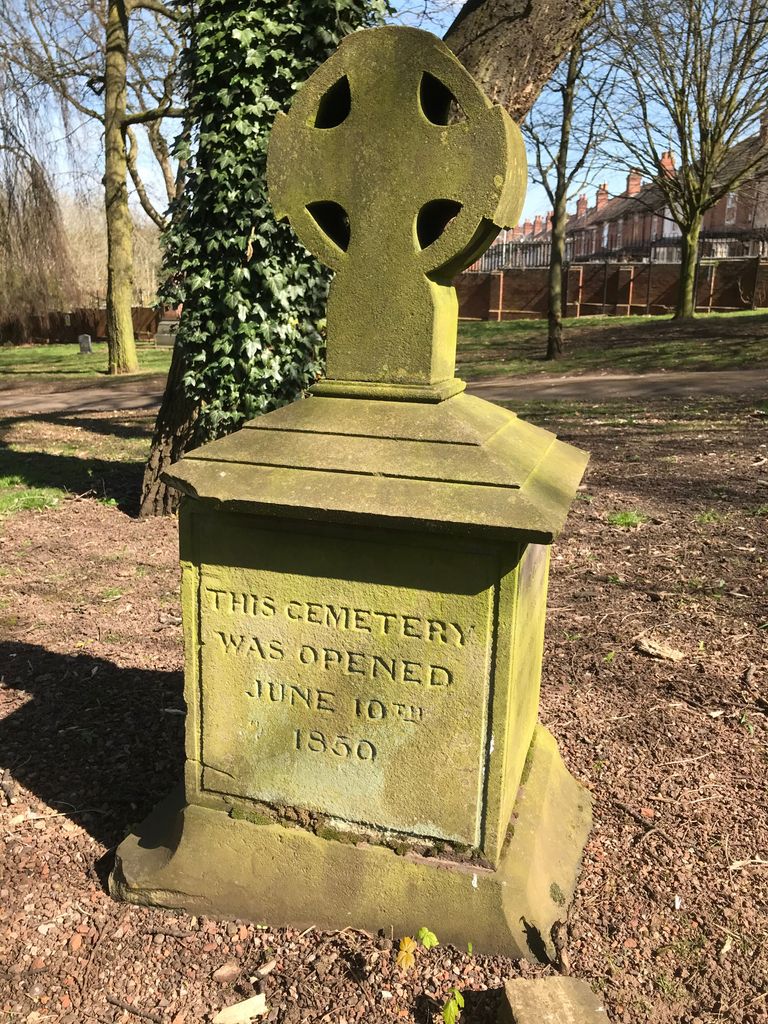
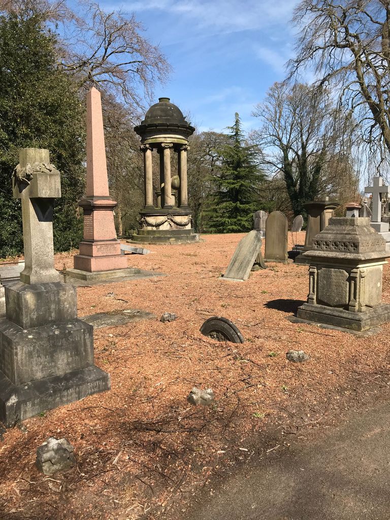
| Description | : | Following an application to Parliament by The Wolverhampton General Cemetery Company in 1845, The Wolverhampton General Cemetery Act was passed in 1847 enabling the establishment of a cemetery at Merridale and the construction of certain access roads and approaches. Consequently Wolverhampton General Cemetery was opened in 1850 providing an alternative burial area as local churchyards became increasingly congested. In time Wolverhampton General Cemetery itself became congested and new cemeteries were opened locally, e.g. at Bushbury (1949) and Danescourt (1959), and perhaps in an attempt to avoid any confusion with the other local sites the use of the name Wolverhampton General... Read More |
frequently asked questions (FAQ):
-
Where is Merridale Cemetery?
Merridale Cemetery is located at Jeffcock Road Wolverhampton, Metropolitan Borough of Wolverhampton ,West Midlands , WV3 7AEEngland.
-
Merridale Cemetery cemetery's updated grave count on graveviews.com?
1 memorials
-
Where are the coordinates of the Merridale Cemetery?
Latitude: 52.5791660
Longitude: -2.1504960
Nearby Cemetories:
1. St. Philip Churchyard Penn Fields
Penn, Metropolitan Borough of Wolverhampton, England
Coordinate: 52.5703200, -2.1552400
2. St. John in the Square Churchyard
Wolverhampton, Metropolitan Borough of Wolverhampton, England
Coordinate: 52.5812300, -2.1292900
3. Christ Church
Tettenhall Wood, Metropolitan Borough of Wolverhampton, England
Coordinate: 52.5895828, -2.1805506
4. St. Michael and All Angels Churchyard
Tettenhall, Metropolitan Borough of Wolverhampton, England
Coordinate: 52.6003380, -2.1619170
5. St Bartholomew Churchyard
Penn, Metropolitan Borough of Wolverhampton, England
Coordinate: 52.5554900, -2.1569250
6. Penn Cemetery
Penn, Metropolitan Borough of Wolverhampton, England
Coordinate: 52.5563850, -2.1641210
7. Danescourt Cemetery
Tettenhall, Metropolitan Borough of Wolverhampton, England
Coordinate: 52.6033840, -2.1789160
8. Holy Trinity Churchyard
Heath Town, Metropolitan Borough of Wolverhampton, England
Coordinate: 52.5962450, -2.1029310
9. Beacon Hill Cemetery
Bilston, Metropolitan Borough of Wolverhampton, England
Coordinate: 52.5488910, -2.1104340
10. Bilston Cemetery
Bilston, Metropolitan Borough of Wolverhampton, England
Coordinate: 52.5709000, -2.0862800
11. Wednesfield New Burial Ground
Wednesfield, Metropolitan Borough of Wolverhampton, England
Coordinate: 52.6003500, -2.0918900
12. All Saints Churchyard Extension
Sedgley, Metropolitan Borough of Dudley, England
Coordinate: 52.5402915, -2.1243976
13. All Saints Churchyard
Sedgley, Metropolitan Borough of Dudley, England
Coordinate: 52.5402410, -2.1228180
14. St. Chad Roman Catholic Churchyard
Sedgley, Metropolitan Borough of Dudley, England
Coordinate: 52.5379500, -2.1194600
15. St. Thomas Churchyard
Wednesfield, Metropolitan Borough of Wolverhampton, England
Coordinate: 52.5997080, -2.0835350
16. St. Mary's Churchyard
Bushbury, Metropolitan Borough of Wolverhampton, England
Coordinate: 52.6199160, -2.1130120
17. St. Leonard's Churchyard
Bilston, Metropolitan Borough of Wolverhampton, England
Coordinate: 52.5665580, -2.0752470
18. St Benedict Biscop Churchyard
Wombourne, South Staffordshire Borough, England
Coordinate: 52.5361394, -2.1834008
19. Darkhouse Baptist Chapel Cemetery
Sedgley, Metropolitan Borough of Dudley, England
Coordinate: 52.5495697, -2.0834915
20. Bushbury Cemetery and Crematorium
Bushbury, Metropolitan Borough of Wolverhampton, England
Coordinate: 52.6247480, -2.1083690
21. St. Mary's
Bilston, Metropolitan Borough of Wolverhampton, England
Coordinate: 52.5639000, -2.0681000
22. Christ Churchyard
Coseley, Metropolitan Borough of Dudley, England
Coordinate: 52.5463520, -2.0798570
23. Hall Green Cemetery
Bradley, Stafford Borough, England
Coordinate: 52.5525360, -2.0728930
24. Coseley Old Meeting House
Coseley, Metropolitan Borough of Dudley, England
Coordinate: 52.5428589, -2.0827699