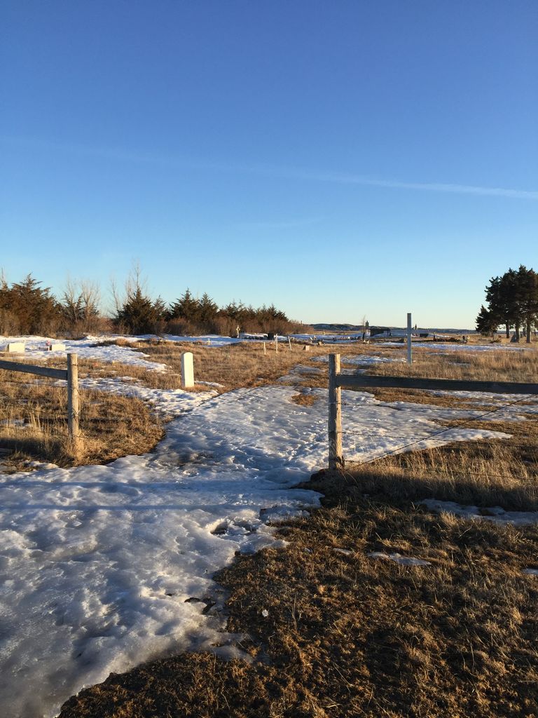
| Memorials | : | 3 |
| Location | : | Lower Brule, Lyman County, USA |
| Coordinate | : | 44.1011800, -99.7380800 |
| Description | : | This cemetery is in the Iron Nation District of Lower Brule Indian Reservation. From Highway 1806, take BIA 27 south for approximately 1/3 of a mile. On the east side of BIA 27 there is a paved road which leads to the cemetery, which sits approximately 1/3 of a mile off the road. |
frequently asked questions (FAQ):
-
Where is Messiah Episcopal Cemetery?
Messiah Episcopal Cemetery is located at Lower Brule, Lyman County ,South Dakota ,USA.
-
Messiah Episcopal Cemetery cemetery's updated grave count on graveviews.com?
2 memorials
-
Where are the coordinates of the Messiah Episcopal Cemetery?
Latitude: 44.1011800
Longitude: -99.7380800
Nearby Cemetories:
1. Ascension Cemetery
Canning, Hughes County, USA
Coordinate: 44.1523700, -99.7927100
2. Saint Catherines Cemetery
Harrold, Hughes County, USA
Coordinate: 44.2091100, -99.7868200
3. Holy Comforter Episcopal Cemetery
Lower Brule, Lyman County, USA
Coordinate: 44.0781700, -99.5815200
4. Triple L Cemetery
Lower Brule, Lyman County, USA
Coordinate: 44.0743408, -99.5823467
5. Saint Marys Cemetery
Lower Brule, Lyman County, USA
Coordinate: 44.0722500, -99.5810100
6. Holy Faith Cemetery
Lyman County, USA
Coordinate: 44.1356010, -99.9878006
7. St. Joseph's Cemetery
Fort Thompson, Buffalo County, USA
Coordinate: 44.0633011, -99.4642029
8. Lake View Cemetery
Fort Thompson, Buffalo County, USA
Coordinate: 44.0629979, -99.4640623
9. Saint Michaels Cemetery
Kennebec, Lyman County, USA
Coordinate: 43.9057999, -99.8431015
10. Hillsdale Cemetery
Kennebec, Lyman County, USA
Coordinate: 43.9056015, -99.8424988
11. Kennebec Cemetery
Kennebec, Lyman County, USA
Coordinate: 43.9047012, -99.8427963
12. Saint John the Baptist Catholic Cemetery
Onaka, Faulk County, USA
Coordinate: 44.1951100, -99.4703500
13. Christ Episcopal Cemetery
Fort Thompson, Buffalo County, USA
Coordinate: 44.0578800, -99.4418700
14. Earling Cemetery
Lyman County, USA
Coordinate: 43.9206009, -99.9143982
15. Chapelle Cemetery
Hughes County, USA
Coordinate: 44.3025017, -99.8653030
16. Saint Marys Catholic Cemetery
Reliance, Lyman County, USA
Coordinate: 43.8931007, -99.6046982
17. Reliance Cemetery
Reliance, Lyman County, USA
Coordinate: 43.8918991, -99.6042023
18. Immaculate Conception Mission Cemetery
Stephan, Hyde County, USA
Coordinate: 44.2447100, -99.4566500
19. Presbyterian Cemetery
Crow Creek, Buffalo County, USA
Coordinate: 44.0477391, -99.3980935
20. Trinity Cemetery
Lyman County, USA
Coordinate: 43.8513985, -99.6860962
21. Holy Name Chapel Cemetery
Fort Pierre, Stanley County, USA
Coordinate: 44.2694292, -100.0356989
22. Holy Name Episcopal Cemetery
Fort Pierre, Stanley County, USA
Coordinate: 44.2694960, -100.0357300
23. Huffunugs Cemetery
Reliance, Lyman County, USA
Coordinate: 43.8254500, -99.6836800
24. Saint Albans Episcopal Cemetery
Lower Brule, Lyman County, USA
Coordinate: 43.9501800, -99.3837100

