
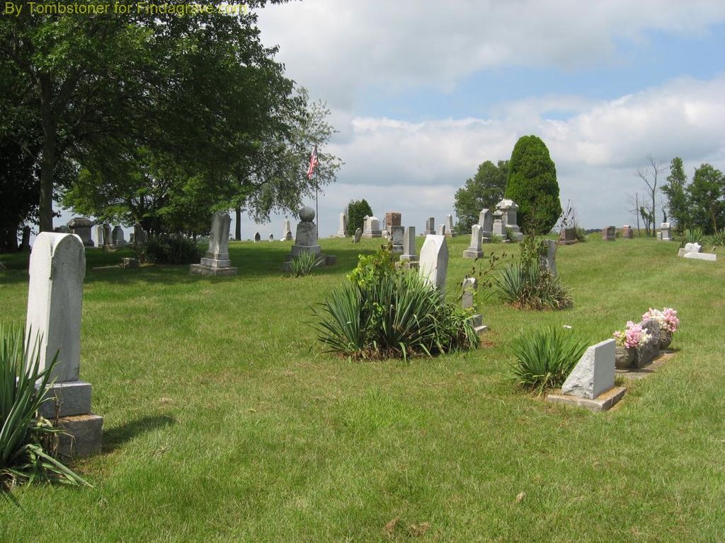
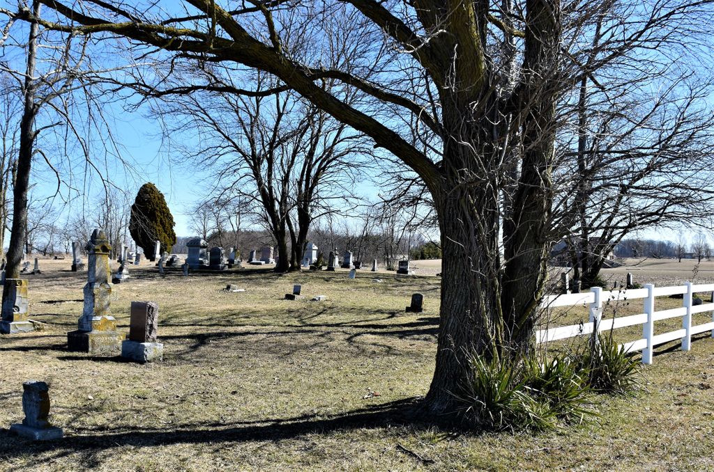
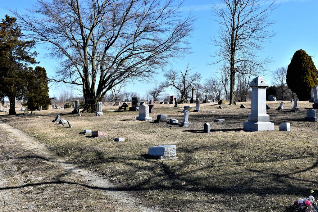
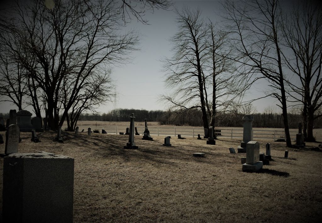
| Memorials | : | 1 |
| Location | : | Poneto, Wells County, USA |
| Coordinate | : | 40.6108017, -85.3069000 |
| Description | : | The cemetery is located on the north side of W County Road 900 S about 800 feet east of its intersection with S County Road 450 W. The U.S. Geological Survey (USGS) Geographic Names Information System (GNIS) feature ID for the cemetery is 439183 (Miller Cemetery). |
frequently asked questions (FAQ):
-
Where is Miller Cemetery?
Miller Cemetery is located at W County Road 900 S Poneto, Wells County ,Indiana , 46781USA.
-
Miller Cemetery cemetery's updated grave count on graveviews.com?
1 memorials
-
Where are the coordinates of the Miller Cemetery?
Latitude: 40.6108017
Longitude: -85.3069000
Nearby Cemetories:
1. Snow Cemetery
Chester Township, Wells County, USA
Coordinate: 40.6211820, -85.3104470
2. Wright Cemetery
Jeff, Wells County, USA
Coordinate: 40.6030998, -85.3469009
3. Miller Cemetery
Jeff, Wells County, USA
Coordinate: 40.6203000, -85.3484900
4. Friends Cemetery
Keystone, Wells County, USA
Coordinate: 40.5984039, -85.2587967
5. Saint Johns Catholic Cemetery
Montpelier, Blackford County, USA
Coordinate: 40.5661400, -85.2876000
6. Odd Fellows Cemetery
Montpelier, Blackford County, USA
Coordinate: 40.5650400, -85.2878760
7. Batson Cemetery
McNatts, Wells County, USA
Coordinate: 40.6333008, -85.3644028
8. Brookside Cemetery
Montpelier, Blackford County, USA
Coordinate: 40.5628500, -85.2878300
9. Twibell North Cemetery
Montpelier, Blackford County, USA
Coordinate: 40.5632019, -85.2704010
10. Asbury United Methodist Cemetery
Wells County, USA
Coordinate: 40.5816650, -85.3722229
11. Jones Cemetery
Wells County, USA
Coordinate: 40.6391983, -85.3731003
12. Woodlawn Cemetery
Montpelier, Blackford County, USA
Coordinate: 40.5539050, -85.2702680
13. Lockett Cemetery
Washington Township, Blackford County, USA
Coordinate: 40.5565240, -85.3756020
14. McFarren Cemetery
Bluffton, Wells County, USA
Coordinate: 40.6730830, -85.2468790
15. Schmidt Cemetery
Roll, Blackford County, USA
Coordinate: 40.5585136, -85.3850555
16. Colbert Cemetery
McNatts, Wells County, USA
Coordinate: 40.6534400, -85.4035700
17. Roll Cemetery
Roll, Blackford County, USA
Coordinate: 40.5520287, -85.3950500
18. Bloxsom Cemetery
Wells County, USA
Coordinate: 40.5750008, -85.1932983
19. Penrod Cemetery
Montpelier, Blackford County, USA
Coordinate: 40.5161781, -85.3231201
20. Grove Cemetery
Poneto, Wells County, USA
Coordinate: 40.6671982, -85.2035980
21. Hosier Cemetery
McNatts, Wells County, USA
Coordinate: 40.6535700, -85.4211900
22. Red Men Cemetery
Warren, Huntington County, USA
Coordinate: 40.6707993, -85.4132996
23. Center Cemetery
Roll, Blackford County, USA
Coordinate: 40.5305430, -85.3895290
24. Twibell South Cemetery
Montpelier, Blackford County, USA
Coordinate: 40.5153008, -85.2589035