
| Memorials | : | 0 |
| Location | : | Montpelier, Blackford County, USA |
| Coordinate | : | 40.5628500, -85.2878300 |
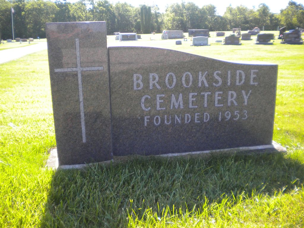
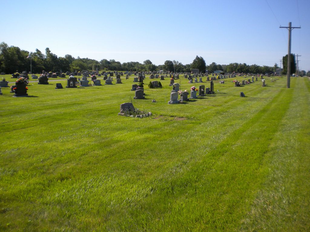
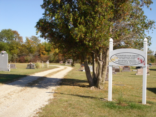
| Description | : | The cemetery is located in Harrison Township (N half of Section 4 Township 24N Range 11E) on the east side of County Road 450 E about 0.3 miles north of its intersection with Warren Avenue. Indiana Cemetery Locations, Volume 1, published by the Indiana Genealogical Society (02 April 2005), gives the primary cemetery name as Brookside Cemetery. The cemetery is listed in the Cemetery and Burial Grounds Registry of the Indiana Department of Natural Resources (DNR) and in the State Historical Architectural and Archaeological Research Database (SHAARD) with Cemetery Record Number CR-05-1 (Brookside). The Indiana Historic Sites and... Read More |
frequently asked questions (FAQ):
-
Where is Brookside Cemetery?
Brookside Cemetery is located at County Road 450 E Montpelier, Blackford County ,Indiana , 47359USA.
-
Brookside Cemetery cemetery's updated grave count on graveviews.com?
0 memorials
-
Where are the coordinates of the Brookside Cemetery?
Latitude: 40.5628500
Longitude: -85.2878300
Nearby Cemetories:
1. Odd Fellows Cemetery
Montpelier, Blackford County, USA
Coordinate: 40.5650400, -85.2878760
2. Saint Johns Catholic Cemetery
Montpelier, Blackford County, USA
Coordinate: 40.5661400, -85.2876000
3. Twibell North Cemetery
Montpelier, Blackford County, USA
Coordinate: 40.5632019, -85.2704010
4. Woodlawn Cemetery
Montpelier, Blackford County, USA
Coordinate: 40.5539050, -85.2702680
5. Friends Cemetery
Keystone, Wells County, USA
Coordinate: 40.5984039, -85.2587967
6. Miller Cemetery
Poneto, Wells County, USA
Coordinate: 40.6108017, -85.3069000
7. Twibell South Cemetery
Montpelier, Blackford County, USA
Coordinate: 40.5153008, -85.2589035
8. Penrod Cemetery
Montpelier, Blackford County, USA
Coordinate: 40.5161781, -85.3231201
9. Wright Cemetery
Jeff, Wells County, USA
Coordinate: 40.6030998, -85.3469009
10. Snow Cemetery
Chester Township, Wells County, USA
Coordinate: 40.6211820, -85.3104470
11. Asbury United Methodist Cemetery
Wells County, USA
Coordinate: 40.5816650, -85.3722229
12. Lockett Cemetery
Washington Township, Blackford County, USA
Coordinate: 40.5565240, -85.3756020
13. Pleasantdale Cemetery
Blackford County, USA
Coordinate: 40.4948807, -85.2583694
14. Bloxsom Cemetery
Wells County, USA
Coordinate: 40.5750008, -85.1932983
15. Herbaugh Cemetery
Hartford City, Blackford County, USA
Coordinate: 40.5008200, -85.3390700
16. Miller Cemetery
Jeff, Wells County, USA
Coordinate: 40.6203000, -85.3484900
17. Schmidt Cemetery
Roll, Blackford County, USA
Coordinate: 40.5585136, -85.3850555
18. Roll Cemetery
Roll, Blackford County, USA
Coordinate: 40.5520287, -85.3950500
19. Center Cemetery
Roll, Blackford County, USA
Coordinate: 40.5305430, -85.3895290
20. Goghnaur Cemetery
Jackson Township, Blackford County, USA
Coordinate: 40.4732900, -85.3100000
21. Batson Cemetery
McNatts, Wells County, USA
Coordinate: 40.6333008, -85.3644028
22. Stoll Cemetery
Washington Township, Blackford County, USA
Coordinate: 40.5046980, -85.3868470
23. Jones Cemetery
Wells County, USA
Coordinate: 40.6391983, -85.3731003
24. Kelly Cemetery
Washington Township, Blackford County, USA
Coordinate: 40.5342770, -85.4191110