
| Memorials | : | 0 |
| Location | : | Farrandsville, Clinton County, USA |
| Coordinate | : | 41.1798500, -77.5263667 |
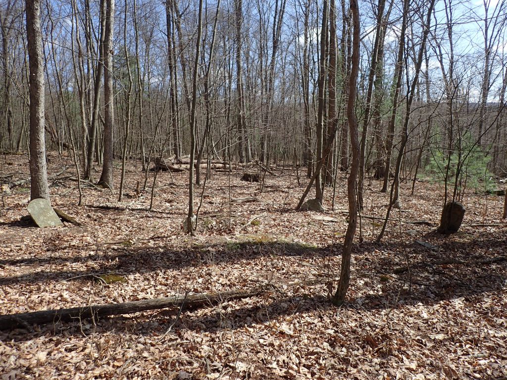
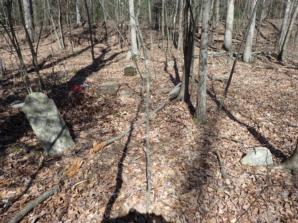
| Description | : | From Clinton County Genealogical Society Web Site: Documentation/Publication: CCGS, The Cemeteries of Colebrook, East Keating, Grugan, Leidy, Noyes, and West Keating Townships (2008) Directions/GPS: From the intersection of Jay and Water Streets in Lock Haven (the Lock Haven Courthouse), travel North on the bridge across the Susquehanna River. On the other side of the river, bear left at the T and continue on this road for 5.6 miles as it winds into the town of Farrandsville. At 5.6 miles is a road to your left, called Carrier Road, going up a hill. Turn onto Carrier Road... Read More |
frequently asked questions (FAQ):
-
Where is Minersville Cemetery?
Minersville Cemetery is located at Carrier Road Farrandsville, Clinton County ,Pennsylvania , 17745USA.
-
Minersville Cemetery cemetery's updated grave count on graveviews.com?
0 memorials
-
Where are the coordinates of the Minersville Cemetery?
Latitude: 41.1798500
Longitude: -77.5263667
Nearby Cemetories:
1. Smith Family Cemetery
Lock Haven, Clinton County, USA
Coordinate: 41.1598833, -77.4692000
2. Bartholomew Family Cemetery
Lock Haven, Clinton County, USA
Coordinate: 41.1575388, -77.4654450
3. Saint Mary's Cemetery
Lock Haven, Clinton County, USA
Coordinate: 41.1450005, -77.4669037
4. Beth Yehuda Cemetery
Lock Haven, Clinton County, USA
Coordinate: 41.1383018, -77.4713974
5. Saint Agnes Cemetery
Lock Haven, Clinton County, USA
Coordinate: 41.1371994, -77.4725037
6. Sunnyside Cemetery
Mill Hall, Clinton County, USA
Coordinate: 41.1217003, -77.5074997
7. Highland Cemetery
Lock Haven, Clinton County, USA
Coordinate: 41.1371994, -77.4625015
8. Fairview Cemetery
Lock Haven, Clinton County, USA
Coordinate: 41.1353300, -77.4619700
9. Swissdale Cemetery
Swissdale, Clinton County, USA
Coordinate: 41.1752000, -77.4385000
10. Flemington Cemetery
Flemington, Clinton County, USA
Coordinate: 41.1277650, -77.4681650
11. Presbyterian Cemetery
Lock Haven, Clinton County, USA
Coordinate: 41.1332500, -77.4569800
12. Saint Pauls Episcopal Church Columbarium
Lock Haven, Clinton County, USA
Coordinate: 41.1368599, -77.4454213
13. Brown Cemetery
Mill Hall, Clinton County, USA
Coordinate: 41.1053009, -77.5074997
14. Swissdale Evangelical Cemetery
Swissdale, Clinton County, USA
Coordinate: 41.1833000, -77.4210000
15. Weise Family Cemetery
Lock Haven, Clinton County, USA
Coordinate: 41.1759830, -77.4131310
16. Dunnstown Cemetery
Dunnstown, Clinton County, USA
Coordinate: 41.1424000, -77.4199000
17. Whetham Cemetery
Glen Union, Clinton County, USA
Coordinate: 41.2638830, -77.5927330
18. Burney-Grugan Cemetery
Glen Union, Clinton County, USA
Coordinate: 41.2605400, -77.6007900
19. Grugan Cemetery
Glen Union, Clinton County, USA
Coordinate: 41.2572500, -77.6073060
20. Shaffer Family Cemetery
Dunnstable Township, Clinton County, USA
Coordinate: 41.1992670, -77.3943170
21. Crider Cemetery
Dunnstable Township, Clinton County, USA
Coordinate: 41.1897000, -77.3880000
22. Cedar Hill Cemetery
Mill Hall, Clinton County, USA
Coordinate: 41.0780800, -77.4779000
23. David Family Cemetery
Beech Creek, Clinton County, USA
Coordinate: 41.0837140, -77.5926360
24. Disciples Cemetery
Salona, Clinton County, USA
Coordinate: 41.0811005, -77.4644012