
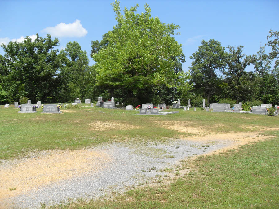
| Memorials | : | 2 |
| Location | : | Ranger, Gordon County, USA |
| Coordinate | : | 34.6061965, -84.7496591 |
frequently asked questions (FAQ):
-
Where is Coosawattee White Graves Road Baptist Church Cemet?
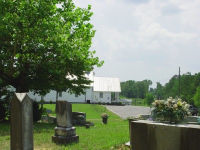
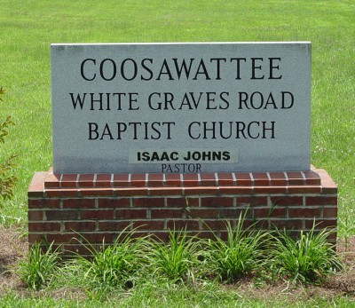
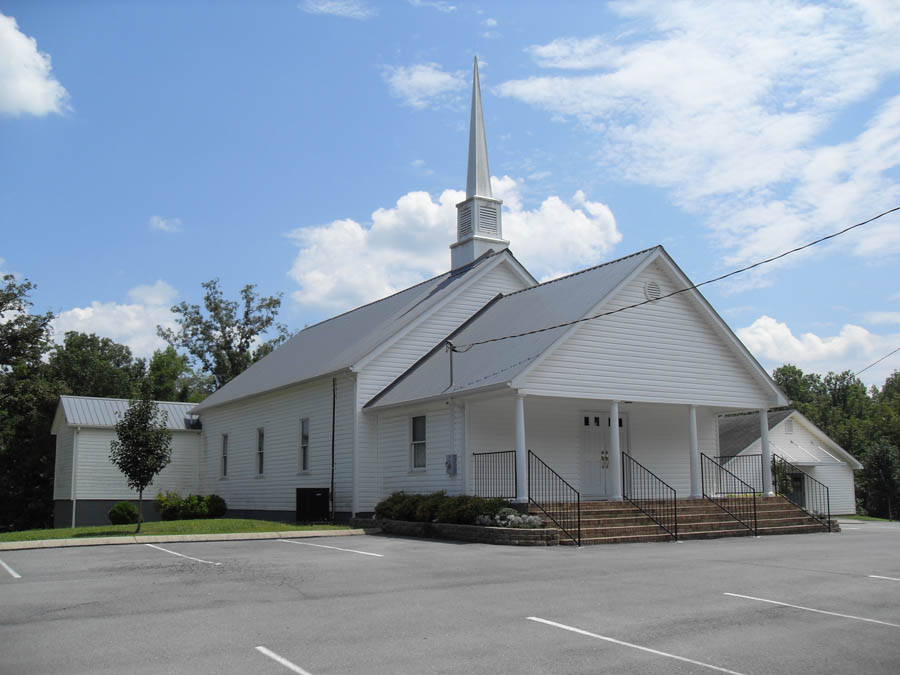
Coosawattee White Graves Road Baptist Church Cemet is located at 365 White Graves Rd NE Ranger, Gordon County ,Georgia , 30734USA.
-
Coosawattee White Graves Road Baptist Church Cemet cemetery's updated grave count on graveviews.com?
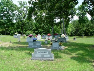
2 memorials
-
Where are the coordinates of the Coosawattee White Graves Road Baptist Church Cemet?
Latitude: 34.6061965
Longitude: -84.7496591
Nearby Cemetories:
1. Welcome Cemetery
Ranger, Gordon County, USA
Coordinate: 34.5796776, -84.7485352
2. Miracle Temple Church Cemetery
Ranger, Gordon County, USA
Coordinate: 34.5652000, -84.7626600
3. Fairview Church of God Cemetery
Ranger, Gordon County, USA
Coordinate: 34.5692300, -84.7194400
4. Oakman Ranger United Methodist Cemetery
Oakman, Gordon County, USA
Coordinate: 34.5699040, -84.7104500
5. Hopewell Baptist Cemetery
Oakman, Gordon County, USA
Coordinate: 34.5802950, -84.6988390
6. Mount Carmel Cemetery
Red Bud, Gordon County, USA
Coordinate: 34.5521740, -84.7392400
7. Fidelle Cemetery
Gordon County, USA
Coordinate: 34.6017400, -84.8212610
8. Pleasant Hill Baptist Church Cemetery
Calhoun, Gordon County, USA
Coordinate: 34.5466310, -84.7791570
9. Campbell Cemetery
Gordon County, USA
Coordinate: 34.5453900, -84.7786533
10. House of Deliverance Church
Ranger, Gordon County, USA
Coordinate: 34.5400031, -84.7448070
11. Noblett Cemetery
Audubon, Gordon County, USA
Coordinate: 34.5688100, -84.8175300
12. Canaanland Baptist Church Cemetery
Resaca, Gordon County, USA
Coordinate: 34.6038690, -84.8363240
13. New Hope Baptist Church Cemetery
Ranger, Gordon County, USA
Coordinate: 34.5265330, -84.7135500
14. Meadow View Mennonite Cemetery
Resaca, Gordon County, USA
Coordinate: 34.6191290, -84.8568020
15. Hopper Family Cemetery
Ranger, Gordon County, USA
Coordinate: 34.5223570, -84.7085630
16. Pine Chapel Cemetery
Gordon County, USA
Coordinate: 34.5820503, -84.8584671
17. Bethesda Baptist Church Cemetery #2
Red Bud, Gordon County, USA
Coordinate: 34.5294876, -84.8182526
18. Haulbrook-Smith Cemetery
Nickelsville, Gordon County, USA
Coordinate: 34.6013400, -84.8653000
19. Shady Grove Baptist Church Cemetery
Gilmer County, USA
Coordinate: 34.5789528, -84.6376419
20. Pine Grove Baptist Church Cemetery
Red Bud, Gordon County, USA
Coordinate: 34.5309170, -84.8285910
21. Liberty Baptist Church Cemetery
Ranger, Gordon County, USA
Coordinate: 34.5089200, -84.7245000
22. Mount Pleasant Methodist Church Cemetery
Calhoun, Gordon County, USA
Coordinate: 34.5321040, -84.8352030
23. Ridgeway Baptist Church Cemetery
Ellijay, Gilmer County, USA
Coordinate: 34.6618580, -84.6435430
24. Harlan Cemetery
Soapstick, Gordon County, USA
Coordinate: 34.5796770, -84.8778120