
| Memorials | : | 0 |
| Location | : | Clarke County, USA |
| Coordinate | : | 31.8681730, -88.1003480 |
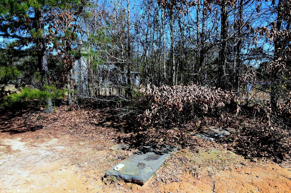
| Description | : | 4 legible stones and many unmarked graves; Margaret Trotter (1806-1850), Margaret Thompson (1831- 1839), Lewis Turner (d. 1844) and Josephine Turner (d. 1844). Located about 50 yards to the west of the Rainey-Barney Cemetery. |
frequently asked questions (FAQ):
-
Where is Mitchell Field Cemetery?
Mitchell Field Cemetery is located at Clarke County ,Alabama ,USA.
-
Mitchell Field Cemetery cemetery's updated grave count on graveviews.com?
0 memorials
-
Where are the coordinates of the Mitchell Field Cemetery?
Latitude: 31.8681730
Longitude: -88.1003480

Nearby Cemetories:
1. Rainey-Barney Cemetery
Coffeeville, Clarke County, USA
Coordinate: 31.8684590, -88.1008260
2. Rock Bar Cemetery
Coffeeville, Clarke County, USA
Coordinate: 31.8732140, -88.0754300
3. Hatchet Cemetery
Clarke County, USA
Coordinate: 31.8950005, -88.1074982
4. Estes Family Cemetery
Coffeeville, Clarke County, USA
Coordinate: 31.8312660, -88.0986650
5. Turner Cemetery
Clarke County, USA
Coordinate: 31.8363991, -88.1389008
6. Cedar Point Baptist Church Cemetery
Coffeeville, Clarke County, USA
Coordinate: 31.8240550, -88.1256040
7. Bethel Baptist Church Cemetery
Coffeeville, Clarke County, USA
Coordinate: 31.8196780, -88.0899880
8. Martin Cemetery
Womack Hill, Choctaw County, USA
Coordinate: 31.8850100, -88.1550600
9. Estes Cemetery
Coffeeville, Clarke County, USA
Coordinate: 31.8118650, -88.0944660
10. Henry Bonner Cemetery
Womack Hill, Choctaw County, USA
Coordinate: 31.9044900, -88.1524000
11. Little Cemetery
Choctaw County, USA
Coordinate: 31.8756008, -88.1774979
12. Anderson Cemetery
Clarke County, USA
Coordinate: 31.8267002, -88.0363998
13. Friendship Baptist Church Cemetery
Clarke County, USA
Coordinate: 31.8271770, -88.0354700
14. Womack Hill Cemetery
Womack Hill, Choctaw County, USA
Coordinate: 31.8549995, -88.1893997
15. Wilson Cemetery
Choctaw County, USA
Coordinate: 31.9127998, -88.1742020
16. Ulcanush Cemetery
Coffeeville, Clarke County, USA
Coordinate: 31.7868996, -88.0768967
17. Moores Cemetery
Choctaw County, USA
Coordinate: 31.8652992, -88.2033005
18. Friddle Cemetery
Chilton, Clarke County, USA
Coordinate: 31.7872200, -88.0592700
19. Faile Cemetery
Clarke County, USA
Coordinate: 31.9323900, -88.0222900
20. Jones Chapel Church of Christ Cemetery
Coffeeville, Clarke County, USA
Coordinate: 31.7858960, -88.0218050
21. Center Point Cemetery
Coffeeville, Clarke County, USA
Coordinate: 31.7866370, -88.0202550
22. Coffeeville Cemetery
Coffeeville, Clarke County, USA
Coordinate: 31.7593994, -88.0871964
23. Corinth Cemetery
Ararat, Choctaw County, USA
Coordinate: 31.9730600, -88.1522900
24. Deas Cemetery
Center Point, Clarke County, USA
Coordinate: 31.7918730, -87.9981650