
| Memorials | : | 4 |
| Location | : | Rector, Clay County, USA |
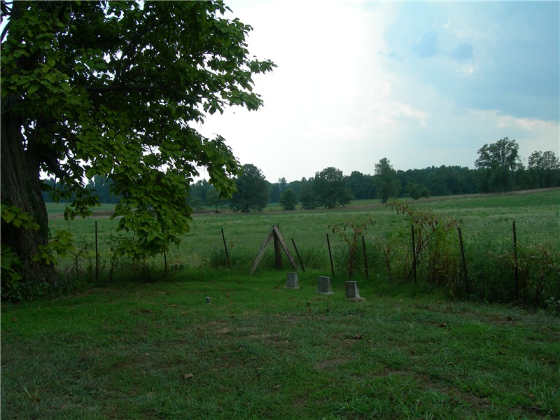
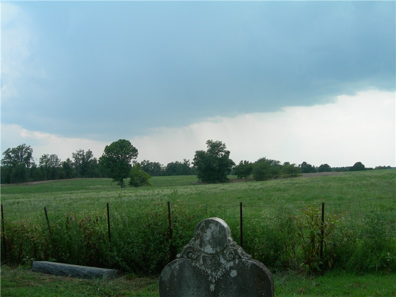
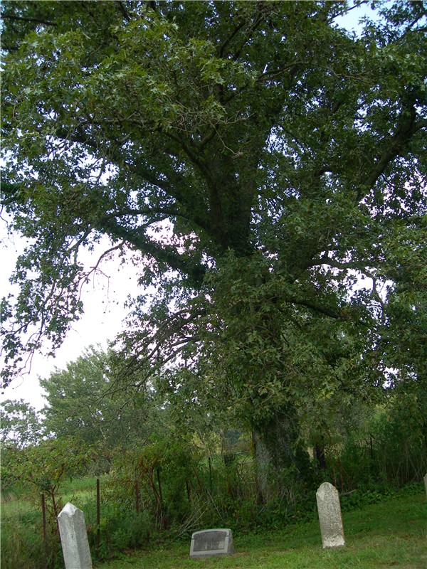
| Description | : | Mobley Family Cemetery Rector, Clay County, Arkansas Clay County Rd 429 From Highway 90 (Main Street) in Rector, turn west onto West 3rd Street. Go eight blocks, turn north onto N. Woodland Heights Drive. This will turn into County Road 429 once out of town. It isn't very far out of town; maybe a mile or two. The farm is on the left, and the cemetery is in a grove a fenced-in trees set about 150 feet out into the field. Only about two-thirds of the graves are marked; there are many fieldstones marking graves, but, as it... Read More |
frequently asked questions (FAQ):
-
Where is Mobley Family Cemetery?
Mobley Family Cemetery is located at No GPS information available Add GPSCounty Road 429 Rector, Clay County ,Arkansas ,USA.
-
Mobley Family Cemetery cemetery's updated grave count on graveviews.com?
4 memorials

Nearby Cemetories:
1. Crocketts Cemetery
Boydsville, Clay County, USA
Coordinate: 36.3950005, -90.2453003
2. Liberty Hill Cemetery
Boydsville, Clay County, USA
Coordinate: 36.4272400, -90.2790400
3. Smiths Chapel Cemetery
Boydsville, Clay County, USA
Coordinate: 36.2872009, -90.4393997
4. Redenbo Cemetery
Clay County, USA
Coordinate: 36.3147011, -90.2913971
5. Rogers Cemetery
Clay County, USA
Coordinate: 36.4779816, -90.1641693
6. Sarver Cemetery
Clay County, USA
Coordinate: 36.4524994, -90.6038971
7. Shannon Cemetery
Clay County, USA
Coordinate: 36.4081001, -90.5014038
8. Black Cemetery
Success, Clay County, USA
Coordinate: 36.4132996, -90.5774994
9. Hitt Cemetery
Success, Clay County, USA
Coordinate: 36.4035988, -90.6632996
10. Rock Springs Cemetery
Knob, Clay County, USA
Coordinate: 36.4681015, -90.5622025
11. Cummings Chapel Methodist Church Cemetery
Pollard, Clay County, USA
Coordinate: 36.3755989, -90.3405991
12. Holcomb Cemetery
Pollard, Clay County, USA
Coordinate: 36.2590598, -90.2290688
13. Little Flock Cemetery
Pollard, Clay County, USA
Coordinate: 36.3950005, -90.2453003
14. New Hope Cemetery
Pollard, Clay County, USA
Coordinate: 36.4272400, -90.2790400
15. Bethlehem Cemetery
Clay County, USA
Coordinate: 36.2872009, -90.4393997
16. Blooming Grove Cemetery
Clay County, USA
Coordinate: 36.3147011, -90.2913971
17. Chalk Bluff Cemetery
Clay County, USA
Coordinate: 36.4779816, -90.1641693
18. Allmandinger Cemetery
Corning, Clay County, USA
Coordinate: 36.4524994, -90.6038971
19. Cantwell Cemetery
Corning, Clay County, USA
Coordinate: 36.4081001, -90.5014038
20. Corning Cemetery
Corning, Clay County, USA
Coordinate: 36.4132996, -90.5774994
21. Richwoods Cemetery
Corning, Clay County, USA
Coordinate: 36.4035988, -90.6632996
22. Williams Cemetery
Corning, Clay County, USA
Coordinate: 36.4681015, -90.5622025
23. Hardin Chapel Cemetery
Clay County, USA
Coordinate: 36.3755989, -90.3405991
24. Hargrave Parish Church
Hargrave Corner, Clay County, USA
Coordinate: 36.2590598, -90.2290688