
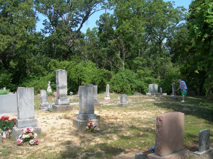
| Memorials | : | 4 |
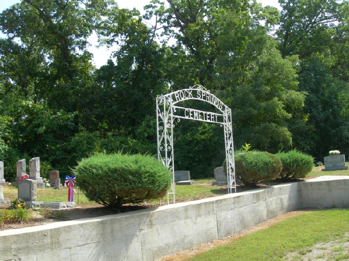
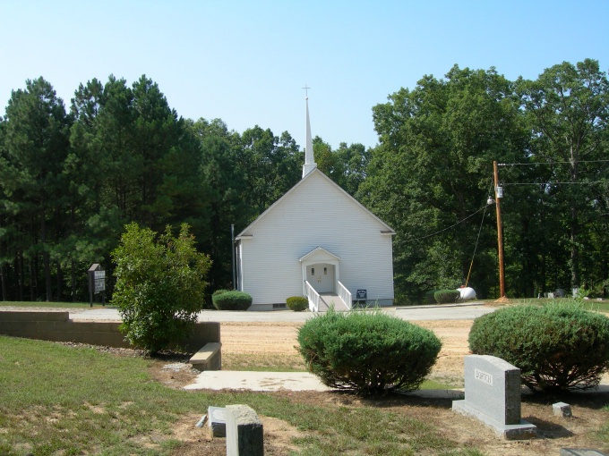
| Location | : | Knob, Clay County, USA |
| Coordinate | : | 36.2785988, -90.4439011 |
frequently asked questions (FAQ):
-
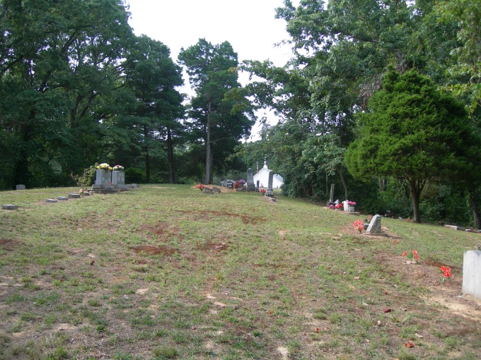
Where is Rock Springs Cemetery?
Rock Springs Cemetery is located at County Road 406 Knob, Clay County ,Arkansas ,USA.
-
Rock Springs Cemetery cemetery's updated grave count on graveviews.com?
4 memorials
-
Where are the coordinates of the Rock Springs Cemetery?
Latitude: 36.2785988
Longitude: -90.4439011
Nearby Cemetories:
1. Bethlehem Cemetery
Clay County, USA
Coordinate: 36.2872009, -90.4393997
2. Ramers Chapel Cemetery
Marmaduke, Greene County, USA
Coordinate: 36.2344590, -90.4426930
3. Purcell Cemetery
Rector, Clay County, USA
Coordinate: 36.2602997, -90.3910980
4. Starnes Cemetery
Greene County, USA
Coordinate: 36.2221080, -90.4371790
5. Toelken Cemetery
Greene County, USA
Coordinate: 36.2310982, -90.4910965
6. Ebenezer Cemetery
Clay County, USA
Coordinate: 36.2887383, -90.3643570
7. Salem Cemetery
Rector, Clay County, USA
Coordinate: 36.3208008, -90.3818970
8. Shannon Cemetery
Clay County, USA
Coordinate: 36.2982483, -90.3639374
9. Pleasant Grove Cemetery
Hopewell, Greene County, USA
Coordinate: 36.2543983, -90.3630981
10. Cudd Cemetery
Marmaduke, Greene County, USA
Coordinate: 36.2202988, -90.3955994
11. Wright Cemetery
Greene County, USA
Coordinate: 36.2075005, -90.4597015
12. Harveys Chapel Cemetery
Marmaduke, Greene County, USA
Coordinate: 36.2131004, -90.3906021
13. Providence Cemetery
Lafe, Greene County, USA
Coordinate: 36.2011260, -90.4710830
14. Mound Cemetery
Clay County, USA
Coordinate: 36.2737312, -90.3426285
15. Saint Johns Cemetery
Lafe, Greene County, USA
Coordinate: 36.2078018, -90.5132980
16. Johnson Chapel Cemetery
Clay County, USA
Coordinate: 36.3383900, -90.3572400
17. Maddux Cemetery
Clay County, USA
Coordinate: 36.3616982, -90.3949966
18. Hartsoe Cemetery
Marmaduke, Greene County, USA
Coordinate: 36.1833000, -90.4372025
19. Parks Cemetery
Rector, Clay County, USA
Coordinate: 36.2619934, -90.3266754
20. Lafe Cemetery
Lafe, Greene County, USA
Coordinate: 36.1946983, -90.5147018
21. Scatterville Cemetery
Rector, Clay County, USA
Coordinate: 36.2813683, -90.3131104
22. Lone Grave
Clay County, USA
Coordinate: 36.3358002, -90.3331070
23. Liberty Hill Cemetery
Boydsville, Clay County, USA
Coordinate: 36.3280983, -90.3182983
24. Woodland Heights Cemetery
Rector, Clay County, USA
Coordinate: 36.2724991, -90.3039017