
| Memorials | : | 39 |
| Location | : | Coshocton County, USA |
| Coordinate | : | 40.3107310, -82.1854160 |
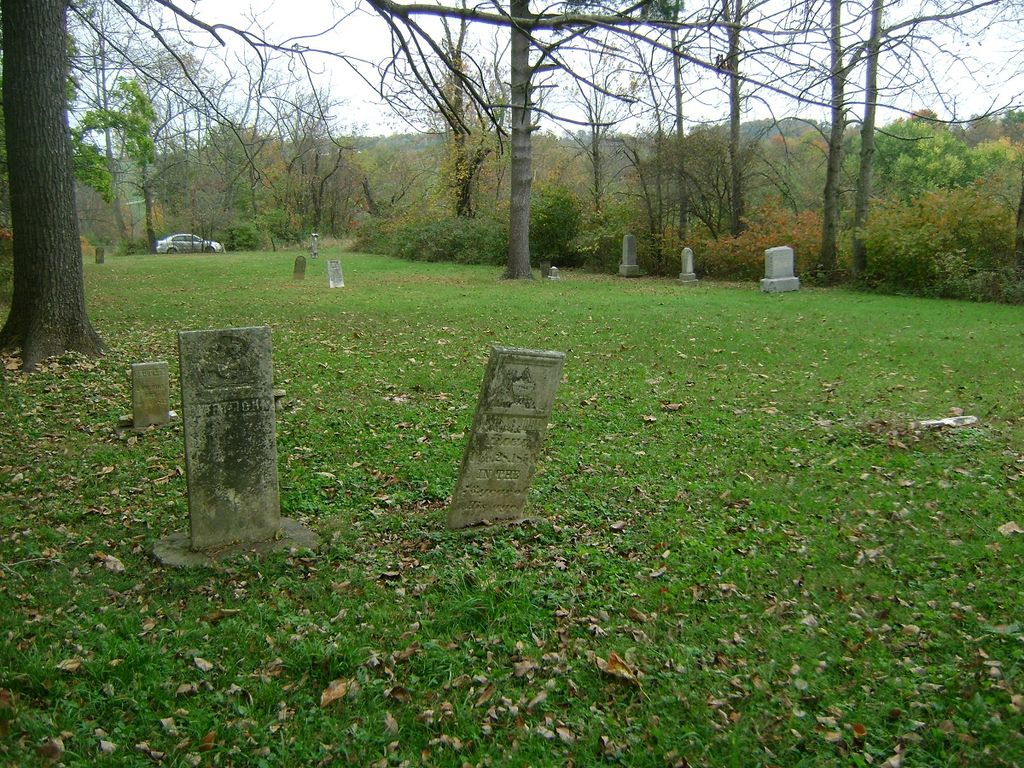
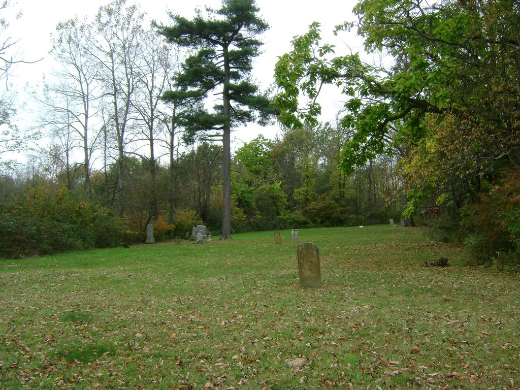
| Description | : | The cemetery is located on the west side of County Road 92 about 0.1 miles west of its intersection with County Road 367. The cemetery is located in Newcastle Township, Coshocton County, Ohio, and is # 2323 (Flint Cemetery / Mount Airy Cemetery) in “Ohio Cemeteries 1803-2003”, compiled by the Ohio Genealogical Society. |
frequently asked questions (FAQ):
-
Where is Mount Airy Cemetery?
Mount Airy Cemetery is located at 31177 County Road 92 Coshocton County ,Ohio , 43843USA.
-
Mount Airy Cemetery cemetery's updated grave count on graveviews.com?
2 memorials
-
Where are the coordinates of the Mount Airy Cemetery?
Latitude: 40.3107310
Longitude: -82.1854160
Nearby Cemetories:
1. Scott Cemetery
Walhonding, Coshocton County, USA
Coordinate: 40.2964569, -82.1829250
2. Saint Matthews Episcopal Church Cemetery
New Guilford, Coshocton County, USA
Coordinate: 40.2964170, -82.1820690
3. Giffen Cemetery
Coshocton County, USA
Coordinate: 40.3339005, -82.1769028
4. New Guilford Cemetery
Coshocton County, USA
Coordinate: 40.2896996, -82.1699982
5. Newcastle Cemetery
Newcastle, Coshocton County, USA
Coordinate: 40.3333015, -82.1707993
6. Butler Baptist Cemetery
Knox County, USA
Coordinate: 40.3334800, -82.2106200
7. Stricker Cemetery
Bladensburg, Knox County, USA
Coordinate: 40.2978800, -82.2227900
8. Dennis Cemetery
Knox County, USA
Coordinate: 40.3055200, -82.2334200
9. Eli Nichols Family Cemetery
Walhonding, Coshocton County, USA
Coordinate: 40.3549160, -82.1847690
10. Rine Family Cemetery
Jackson Township, Knox County, USA
Coordinate: 40.2728050, -82.2224780
11. Christian Church Cemetery
Warsaw, Coshocton County, USA
Coordinate: 40.3250000, -82.1230000
12. Wilson Chapel Cemetery
Nellie, Coshocton County, USA
Coordinate: 40.3017690, -82.1207660
13. Winding Fork Evangelical Lutheran Church Cemetery
Coshocton County, USA
Coordinate: 40.2589240, -82.1589090
14. Kemmerer Cemetery
Knox County, USA
Coordinate: 40.3232994, -82.2596970
15. Mohawk Baptist Church Cemetery
Nellie, Coshocton County, USA
Coordinate: 40.2941380, -82.1107120
16. Walhonding Cemetery
Walhonding, Coshocton County, USA
Coordinate: 40.3627800, -82.1411700
17. Goshen Cemetery
Warsaw, Coshocton County, USA
Coordinate: 40.2728004, -82.1193008
18. Perry Chapel Baptist Cemetery
West Carlisle, Coshocton County, USA
Coordinate: 40.2470200, -82.1899500
19. Staats Cemetery
Millwood, Knox County, USA
Coordinate: 40.3711090, -82.2150680
20. Campbell Cemetery
Knox County, USA
Coordinate: 40.3403015, -82.2636032
21. Riley Chapel Cemetery
Knox County, USA
Coordinate: 40.3782360, -82.2009740
22. Mikesell Cemetery
West Bedford, Coshocton County, USA
Coordinate: 40.2882500, -82.0963240
23. Mount Zion Cemetery
Bladensburg, Knox County, USA
Coordinate: 40.2543800, -82.2475300
24. Bladensburg Cemetery
Bladensburg, Knox County, USA
Coordinate: 40.2848500, -82.2774600