
| Memorials | : | 0 |
| Location | : | Warsaw, Coshocton County, USA |
| Coordinate | : | 40.3250000, -82.1230000 |
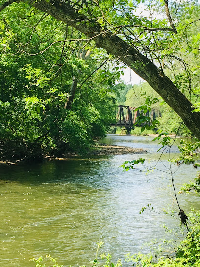
| Description | : | Approximately 10 grave markers are present among large trees. A church was built circa 1830's on land owned by John Grove (born 1790 - died 1873). The cemetery & church were identified on the New Castle Township, Coshocton County, Ohio map compiled in 1910 by Geo J. Bock. In 1992 a church was not present with wood blanks possibly from the church lying on a large cart. As of 2021 the cemetery is plat at 1 acre in size on the Coshocton County, Ohio records. |
frequently asked questions (FAQ):
-
Where is Christian Church Cemetery?
Christian Church Cemetery is located at 25120 TR 111 Warsaw, Coshocton County ,Ohio , 43844USA.
-
Christian Church Cemetery cemetery's updated grave count on graveviews.com?
0 memorials
-
Where are the coordinates of the Christian Church Cemetery?
Latitude: 40.3250000
Longitude: -82.1230000
Nearby Cemetories:
1. Wilson Chapel Cemetery
Nellie, Coshocton County, USA
Coordinate: 40.3017690, -82.1207660
2. Mohawk Baptist Church Cemetery
Nellie, Coshocton County, USA
Coordinate: 40.2941380, -82.1107120
3. Butler West Cemetery
Nellie, Coshocton County, USA
Coordinate: 40.3523620, -82.0961490
4. Newcastle Cemetery
Newcastle, Coshocton County, USA
Coordinate: 40.3333015, -82.1707993
5. Mohawk Methodist Church Cemetery
Mohawk Village, Coshocton County, USA
Coordinate: 40.3182290, -82.0724610
6. Walhonding Cemetery
Walhonding, Coshocton County, USA
Coordinate: 40.3627800, -82.1411700
7. Butler East Cemetery
Nellie, Coshocton County, USA
Coordinate: 40.3514580, -82.0818970
8. Mikesell Cemetery
West Bedford, Coshocton County, USA
Coordinate: 40.2882500, -82.0963240
9. Giffen Cemetery
Coshocton County, USA
Coordinate: 40.3339005, -82.1769028
10. Honey Run Cemetery
Walhonding, Coshocton County, USA
Coordinate: 40.3711014, -82.1175003
11. Mount Airy Cemetery
Coshocton County, USA
Coordinate: 40.3107310, -82.1854160
12. New Guilford Cemetery
Coshocton County, USA
Coordinate: 40.2896996, -82.1699982
13. Goshen Cemetery
Warsaw, Coshocton County, USA
Coordinate: 40.2728004, -82.1193008
14. Saint Matthews Episcopal Church Cemetery
New Guilford, Coshocton County, USA
Coordinate: 40.2964170, -82.1820690
15. Scott Cemetery
Walhonding, Coshocton County, USA
Coordinate: 40.2964569, -82.1829250
16. Eli Nichols Family Cemetery
Walhonding, Coshocton County, USA
Coordinate: 40.3549160, -82.1847690
17. McKee Cemetery
Walhonding, Coshocton County, USA
Coordinate: 40.3817123, -82.1190115
18. Darling Run Cemetery
Nellie, Coshocton County, USA
Coordinate: 40.3436012, -82.0505981
19. Butler Baptist Cemetery
Knox County, USA
Coordinate: 40.3334800, -82.2106200
20. Winding Fork Evangelical Lutheran Church Cemetery
Coshocton County, USA
Coordinate: 40.2589240, -82.1589090
21. West Bedford Cemetery #1
Bedford Township, Coshocton County, USA
Coordinate: 40.2636000, -82.0739000
22. Dutch Run Cemetery
Tiverton Township, Coshocton County, USA
Coordinate: 40.4021988, -82.1072006
23. Humphrey Family Cemetery
Walhonding, Coshocton County, USA
Coordinate: 40.3969500, -82.1673110
24. Riley Chapel Cemetery
Knox County, USA
Coordinate: 40.3782360, -82.2009740