| Memorials | : | 14 |
| Location | : | Port Williams, Atchison County, USA |
| Coordinate | : | 39.4598618, -95.0670776 |
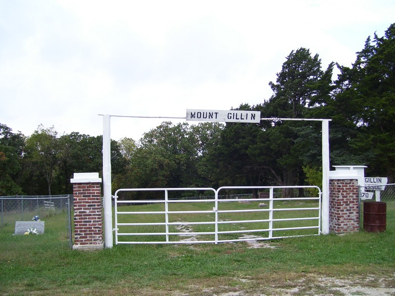
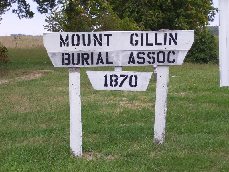
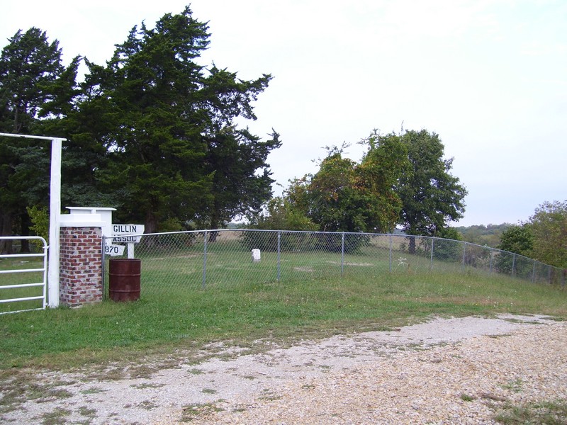
| Description | : | Established in 1870, this cemetery is located at the north end of Trego Road on a hilltop in Walnut South Township, Section 9. |
frequently asked questions (FAQ):
-
Where is Mount Gillin Cemetery?
Mount Gillin Cemetery is located at Trego Road Port Williams, Atchison County ,Kansas ,USA.
-
Mount Gillin Cemetery cemetery's updated grave count on graveviews.com?
14 memorials
-
Where are the coordinates of the Mount Gillin Cemetery?
Latitude: 39.4598618
Longitude: -95.0670776
Nearby Cemetories:
1. DeWeese Cemetery (Defunct)
Port Williams, Atchison County, USA
Coordinate: 39.4627500, -95.0473400
2. Hightower and Cook Cemetery
Port Williams, Atchison County, USA
Coordinate: 39.4573100, -95.0421900
3. Bluma Cemetery (Defunct)
Port Williams, Atchison County, USA
Coordinate: 39.4557900, -95.0393200
4. Johnson and Bloomer Cemetery (Defunct)
Port Williams, Atchison County, USA
Coordinate: 39.4585700, -95.0341900
5. Hays Cemetery
Oak Mills, Atchison County, USA
Coordinate: 39.4370300, -95.0883700
6. Sapp Cemetery
Oak Mills, Atchison County, USA
Coordinate: 39.4431000, -95.0233002
7. Heatherly Cemetery
Dalbey, Atchison County, USA
Coordinate: 39.4979000, -95.0829400
8. Old Young Cemetery
Potter, Atchison County, USA
Coordinate: 39.4480782, -95.1176071
9. Saint Patrick Cemetery
Saint Pats, Atchison County, USA
Coordinate: 39.4689713, -95.1242523
10. Sacks Family Cemetery
Oak Mills, Atchison County, USA
Coordinate: 39.4216800, -95.0316000
11. Round Prairie Cemetery
Lowemont, Leavenworth County, USA
Coordinate: 39.4122009, -95.0738983
12. Mount Pleasant Cemetery
Potter, Atchison County, USA
Coordinate: 39.4520187, -95.1412964
13. Branscom Cemetery
Kickapoo, Leavenworth County, USA
Coordinate: 39.4174995, -95.0105972
14. Ashcraft Cemetery
Saint Pats, Atchison County, USA
Coordinate: 39.4695396, -95.1479034
15. Sumner Cemetery
Atchison, Atchison County, USA
Coordinate: 39.5163994, -95.1081009
16. Iatan Cemetery
Iatan, Platte County, USA
Coordinate: 39.4776192, -94.9844818
17. Conard Memorial Park
Bean Lake Station, Platte County, USA
Coordinate: 39.5089637, -95.0088959
18. Bean Family Cemetery
Bean Lake Station, Platte County, USA
Coordinate: 39.5108200, -95.0100900
19. Coleman Cemetery
Platte County, USA
Coordinate: 39.5241200, -95.0180500
20. Carson Family Cemetery
Weston, Platte County, USA
Coordinate: 39.4928700, -94.9797600
21. Saint Johns Lutheran Cemetery
Millwood, Leavenworth County, USA
Coordinate: 39.4042015, -95.1386032
22. Bellis Cemetery
Platte County, USA
Coordinate: 39.5142400, -94.9933800
23. Oak Hill Cemetery
Millwood, Leavenworth County, USA
Coordinate: 39.3833008, -95.0943985
24. Fairview Cemetery
Potter, Atchison County, USA
Coordinate: 39.4239006, -95.1613998


