
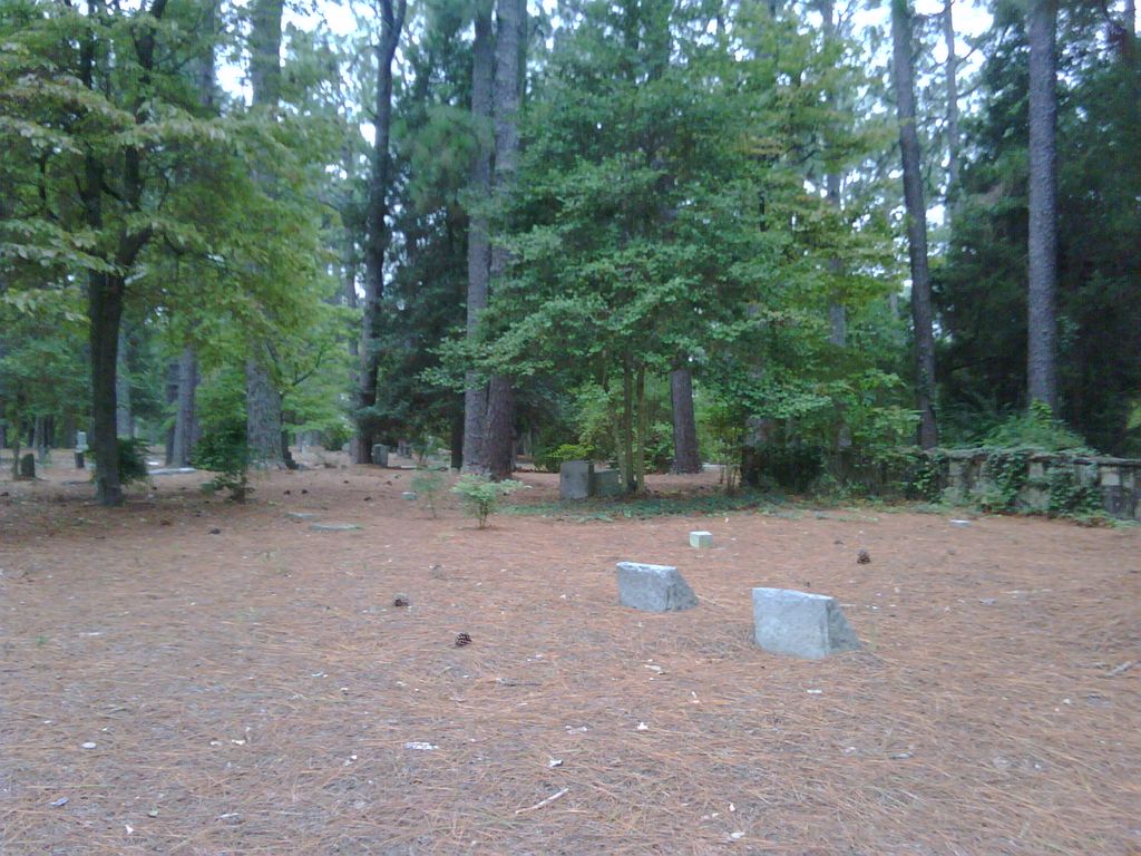
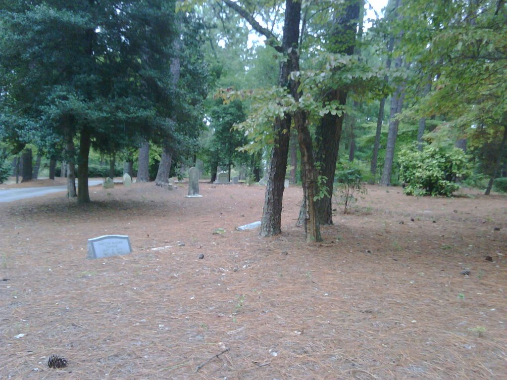
| Memorials | : | 19 |
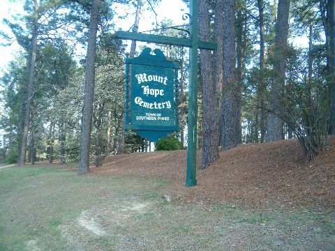
| Location | : | Southern Pines, Moore County, USA |
| Coordinate | : | 35.1697006, -79.4083023 |
frequently asked questions (FAQ):
-
Where is Mount Hope Cemetery?
Mount Hope Cemetery is located at Southern Pines, Moore County ,North Carolina ,USA.
-
Mount Hope Cemetery cemetery's updated grave count on graveviews.com?
17 memorials
-
Where are the coordinates of the Mount Hope Cemetery?
Latitude: 35.1697006
Longitude: -79.4083023
Nearby Cemetories:
1. Kenneth Black Family Cemetery
Moore County, USA
Coordinate: 35.1684330, -79.4197490
2. Emmanuel Episcopal Church Columbarium
Southern Pines, Moore County, USA
Coordinate: 35.1689860, -79.3924930
3. Pinelawn Memorial Park
Southern Pines, Moore County, USA
Coordinate: 35.1768300, -79.4251200
4. Woodlawn Cemetery
Southern Pines, Moore County, USA
Coordinate: 35.1845873, -79.3896530
5. Southern Pines UMC Memorial Garden
Southern Pines, Moore County, USA
Coordinate: 35.1815580, -79.3807020
6. Manly Presbyterian Church Cemetery
Southern Pines, Moore County, USA
Coordinate: 35.1844840, -79.3708580
7. Bethesda Cemetery
Aberdeen, Moore County, USA
Coordinate: 35.1314545, -79.4126663
8. Faith Presbyterian Cemetery
Aberdeen, Moore County, USA
Coordinate: 35.1270000, -79.4140560
9. Mount Lebanon Church of God Cemetery
Aberdeen, Moore County, USA
Coordinate: 35.1266650, -79.4163180
10. Church of God of Prophecy Cemetery
Aberdeen, Moore County, USA
Coordinate: 35.1239940, -79.3990820
11. Manly Cemetery
Manly, Moore County, USA
Coordinate: 35.1969500, -79.3617800
12. Saint Anthony of Padua Cemetery
Southern Pines, Moore County, USA
Coordinate: 35.2152660, -79.3788550
13. Berkley Community Cemetery
Aberdeen, Moore County, USA
Coordinate: 35.1195000, -79.4267000
14. Shady Grove Holiness Church Cemetery
Aberdeen, Moore County, USA
Coordinate: 35.1152619, -79.3876024
15. Pleasant Hill Baptist Church Cemetery
Southern Pines, Moore County, USA
Coordinate: 35.2218560, -79.3636470
16. Patterson Family Cemetery
Moore County, USA
Coordinate: 35.2083540, -79.4856550
17. Cemetery No. 196: Willard Family Cemetery
Pinehurst, Moore County, USA
Coordinate: 35.1652832, -79.5007128
18. Galilee Missionary Baptist Church Cemetery
West End, Moore County, USA
Coordinate: 35.2122997, -79.4861824
19. Taylortown Community Cemetery
Taylortown, Moore County, USA
Coordinate: 35.2119444, -79.4872222
20. Pinewild Cemetery
Pinehurst, Moore County, USA
Coordinate: 35.1993400, -79.4963500
21. Deep Creek Baptist Church Cemetery
Pinehurst, Moore County, USA
Coordinate: 35.1674850, -79.5037710
22. Goins Cemetery
Hoke County, USA
Coordinate: 35.1650009, -79.3110962
23. Eastwood Community Cemetery
West End, Moore County, USA
Coordinate: 35.2412120, -79.4527430
24. Saint Matthews Chapel Church Cemetery
Eastwood, Moore County, USA
Coordinate: 35.2451440, -79.4477820