
| Memorials | : | 2 |
| Location | : | Eastwood, Moore County, USA |
| Coordinate | : | 35.2451440, -79.4477820 |
frequently asked questions (FAQ):
-
Where is Saint Matthews Chapel Church Cemetery?
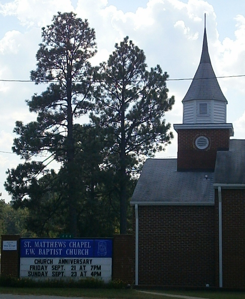
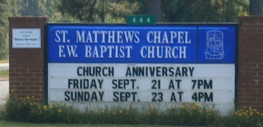
Saint Matthews Chapel Church Cemetery is located at 444 Lea Road Eastwood, Moore County ,North Carolina ,USA.
-
Saint Matthews Chapel Church Cemetery cemetery's updated grave count on graveviews.com?
1 memorials
-
Where are the coordinates of the Saint Matthews Chapel Church Cemetery?
Latitude: 35.2451440
Longitude: -79.4477820
Nearby Cemetories:
1. Eastwood Community Cemetery
West End, Moore County, USA
Coordinate: 35.2412120, -79.4527430
2. Culdee Presbyterian Church Cemetery
West End, Moore County, USA
Coordinate: 35.2506660, -79.4689180
3. Bible Tabernacle Church Cemetery
Southern Pines, Moore County, USA
Coordinate: 35.2514610, -79.3984920
4. Victory Community Baptist Church Cemetery
Carthage, Moore County, USA
Coordinate: 35.2877820, -79.4522750
5. Doubs Chapel United Methodist Church Cemetery
West End, Moore County, USA
Coordinate: 35.2835840, -79.4743410
6. Galilee Missionary Baptist Church Cemetery
West End, Moore County, USA
Coordinate: 35.2122997, -79.4861824
7. Taylortown Community Cemetery
Taylortown, Moore County, USA
Coordinate: 35.2119444, -79.4872222
8. Patterson Family Cemetery
Moore County, USA
Coordinate: 35.2083540, -79.4856550
9. Old Beulah Hill Church Cemetery
West End, Moore County, USA
Coordinate: 35.2227290, -79.5008470
10. Ingram Branch Presbyterian Church Cemetery
West End, Moore County, USA
Coordinate: 35.2900570, -79.4727800
11. Beulah Hill Baptist Church Cemetery
West End, Moore County, USA
Coordinate: 35.2222290, -79.5015564
12. Eureka Presbyterian Church Cemetery
Carthage, Moore County, USA
Coordinate: 35.2746690, -79.3874700
13. Fairview Baptist Church Cemetery
West End, Moore County, USA
Coordinate: 35.2903633, -79.4917068
14. Pinewild Cemetery
Pinehurst, Moore County, USA
Coordinate: 35.1993400, -79.4963500
15. Faith Baptist Church Cemetery
West End, Moore County, USA
Coordinate: 35.2841492, -79.5079956
16. Saint Anthony of Padua Cemetery
Southern Pines, Moore County, USA
Coordinate: 35.2152660, -79.3788550
17. Summer Hill Baptist Church Cemetery
Carthage, Moore County, USA
Coordinate: 35.3093470, -79.4372090
18. Oaklawn Cemetery
Whispering Pines, Moore County, USA
Coordinate: 35.2658750, -79.3686680
19. Yates-Thagard Baptist Cemetery
Whispering Pines, Moore County, USA
Coordinate: 35.2586890, -79.3655190
20. Pinelawn Memorial Park
Southern Pines, Moore County, USA
Coordinate: 35.1768300, -79.4251200
21. Pleasant Hill Baptist Church Cemetery
Southern Pines, Moore County, USA
Coordinate: 35.2218560, -79.3636470
22. Holly Grove Primitive Baptist Church Cemetery
Whispering Pines, Moore County, USA
Coordinate: 35.2800820, -79.3639360
23. Woodlawn Cemetery
Southern Pines, Moore County, USA
Coordinate: 35.1845873, -79.3896530
24. Crossroads Community Church Cemetery
Whispering Pines, Moore County, USA
Coordinate: 35.2798370, -79.3615280