
| Memorials | : | 0 |
| Location | : | Clarksville, Montgomery County, USA |
| Coordinate | : | 36.5107460, -87.3522305 |
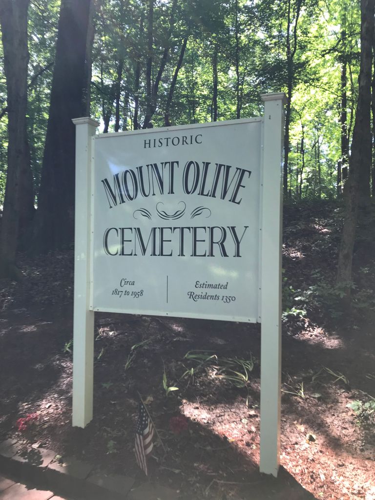
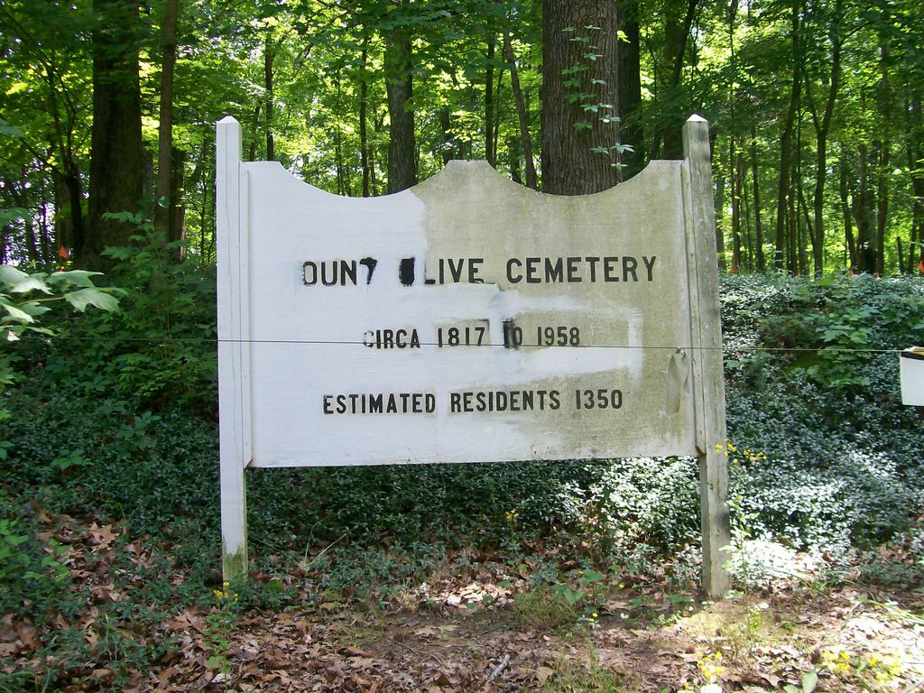
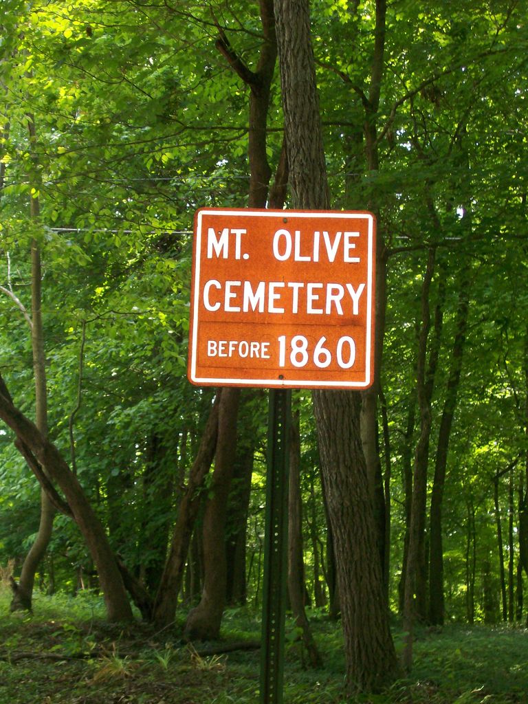
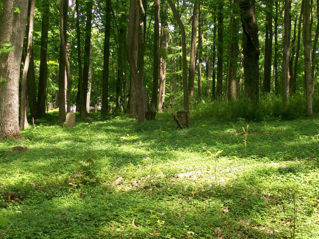
| Description | : | Mt. Olive Cemetery is a historic African American burial site, with the first burial being recorded in 1817. There were burials held here until 1958. The Mt. Olive Cemetery Historical Preservation Society was established as a nonprofit in 2004 with the aim of preserving the 7.24-acre property. The cemetery includes at least 1,350 graves, and a recent ground penetrating radar survey suggests that there are more, especially since over 90% of the graves are unmarked. This cemetery is the oldest and biggest African American cemetery in Clarksville. In 2020, the cemetery was added to the National Register of Historic Places. |
frequently asked questions (FAQ):
-
Where is Mount Olive Cemetery?
Mount Olive Cemetery is located at 955 Cumberland Drive Clarksville, Montgomery County ,Tennessee , 37040USA.
-
Mount Olive Cemetery cemetery's updated grave count on graveviews.com?
0 memorials
-
Where are the coordinates of the Mount Olive Cemetery?
Latitude: 36.5107460
Longitude: -87.3522305
Nearby Cemetories:
1. Greenwood Cemetery
Clarksville, Montgomery County, USA
Coordinate: 36.5069008, -87.3422012
2. John and Wilhelmena Miller Family Cemetery
Clarksville, Montgomery County, USA
Coordinate: 36.5053180, -87.3614680
3. Evergreen Cemetery
Clarksville, Montgomery County, USA
Coordinate: 36.5031013, -87.3422012
4. Golden Hill Cemetery
Clarksville, Montgomery County, USA
Coordinate: 36.5032616, -87.3415527
5. Edgefield Missionary Baptist Church Cemetery
Clarksville, Montgomery County, USA
Coordinate: 36.5100800, -87.3281800
6. Foston Memorial Gardens
Clarksville, Montgomery County, USA
Coordinate: 36.5106820, -87.3281200
7. Peacher Family Cemetery
Clarksville, Montgomery County, USA
Coordinate: 36.5112720, -87.3175420
8. Gum Springs Baptist Church Cemetery
Montgomery County, USA
Coordinate: 36.4954796, -87.3815384
9. Mount Pisgah Cemetery
Cumberland Heights, Montgomery County, USA
Coordinate: 36.5064380, -87.3891760
10. Macedonia Cemetery
Clarksville, Montgomery County, USA
Coordinate: 36.5040190, -87.3960360
11. Alex Yarbrough Cemetery
Cumberland Heights, Montgomery County, USA
Coordinate: 36.5039650, -87.3964180
12. All Saints Columbarium
Clarksville, Montgomery County, USA
Coordinate: 36.4748210, -87.3411140
13. Dunlop Gold Cemetery
Montgomery County, USA
Coordinate: 36.5438730, -87.3233410
14. Lyle Cemetery
Montgomery County, USA
Coordinate: 36.4706001, -87.3386002
15. Lofland Cemetery
Clarksville, Montgomery County, USA
Coordinate: 36.5410423, -87.3093147
16. Keesee Cemetery
Montgomery County, USA
Coordinate: 36.4658012, -87.3989029
17. Kizzee Cemetery
Montgomery County, USA
Coordinate: 36.4651270, -87.3987720
18. Mount Lebanon Cemetery
Clarksville, Montgomery County, USA
Coordinate: 36.4560780, -87.3817050
19. Memorial Baptist Church Cemetery
Clarksville, Montgomery County, USA
Coordinate: 36.4519800, -87.3754560
20. Martin Chapel Cemetery
Cumberland Heights, Montgomery County, USA
Coordinate: 36.4647060, -87.4181140
21. Kenwood Baptist Church Cemetery
Kenwood, Montgomery County, USA
Coordinate: 36.5752820, -87.3895140
22. Antioch Methodist Church Cemetery
Clarksville, Montgomery County, USA
Coordinate: 36.4487610, -87.4005966
23. Hiter Cemetery
Montgomery County, USA
Coordinate: 36.4588450, -87.4174400
24. Bethlehem United Methodist Church Cemetery
Clarksville, Montgomery County, USA
Coordinate: 36.4713821, -87.2738037