
| Memorials | : | 2 |
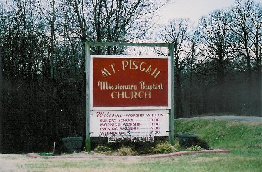
| Location | : | Boaz, Graves County, USA |
| Coordinate | : | 36.8842200, -88.6086600 |
frequently asked questions (FAQ):
-
Where is Mount Pisgah Cemetery?
Mount Pisgah Cemetery is located at Boaz, Graves County ,Kentucky ,USA.
-
Mount Pisgah Cemetery cemetery's updated grave count on graveviews.com?
2 memorials
-
Where are the coordinates of the Mount Pisgah Cemetery?
Latitude: 36.8842200
Longitude: -88.6086600

Nearby Cemetories:
1. Johnson Cemetery
Boaz, Graves County, USA
Coordinate: 36.8993988, -88.6283035
2. Salem Cemetery
Boaz, Graves County, USA
Coordinate: 36.8669014, -88.6278000
3. Spring Creek Church of Christ Cemetery
Dogwood, Graves County, USA
Coordinate: 36.8830480, -88.5752620
4. Old Spring Creek Church of Christ Cemetery
Clear Springs, Graves County, USA
Coordinate: 36.8620770, -88.5879140
5. Boaz Cemetery
Graves County, USA
Coordinate: 36.9025002, -88.5789032
6. Boaz Cemetery
Dogwood, Graves County, USA
Coordinate: 36.9185390, -88.5883430
7. Boat Cemetery
Graves County, USA
Coordinate: 36.9185982, -88.5877991
8. Mount Pleasant Cemetery
Boaz, Graves County, USA
Coordinate: 36.9248795, -88.6161303
9. McNeil Cemetery
McCracken County, USA
Coordinate: 36.9136009, -88.6453018
10. McNeill Cemetery
Graves County, USA
Coordinate: 36.9139470, -88.6457220
11. McClure Cemetery
Graves County, USA
Coordinate: 36.9108009, -88.5661011
12. Gough Cemetery
Mayfield, Graves County, USA
Coordinate: 36.8432222, -88.5820280
13. Pilgrims Rest Cemetery
Graves County, USA
Coordinate: 36.8468650, -88.5551250
14. Nall Cemetery
Folsomdale, Graves County, USA
Coordinate: 36.9109170, -88.6733330
15. Pleasant Grove Cemetery
Mayfield, Graves County, USA
Coordinate: 36.8254040, -88.6121670
16. Clarks River Cemetery
Kaler, Graves County, USA
Coordinate: 36.8906059, -88.5353851
17. Liberty Cemetery
Folsomdale, Graves County, USA
Coordinate: 36.8917007, -88.6838989
18. Hardmoney Baptist Church Cemetery
Boaz, Graves County, USA
Coordinate: 36.9424190, -88.5839870
19. Gore Cemetery
Saint Johns, McCracken County, USA
Coordinate: 36.9479710, -88.6274400
20. Straub Cemetery
McCracken County, USA
Coordinate: 36.9432983, -88.6539001
21. Pryors Chapel Cemetery
Graves County, USA
Coordinate: 36.9282990, -88.5397034
22. Carters Mill Cemetery
Graves County, USA
Coordinate: 36.9307610, -88.5379510
23. Anderson Family Cemetery
Graves County, USA
Coordinate: 36.8160790, -88.6482420
24. Shelton Cemetery
Clear Springs, Graves County, USA
Coordinate: 36.8283060, -88.5411390