
| Memorials | : | 26 |
| Location | : | Devonport, Auckland Council, New Zealand |
| Coordinate | : | -36.8252490, 174.7978140 |
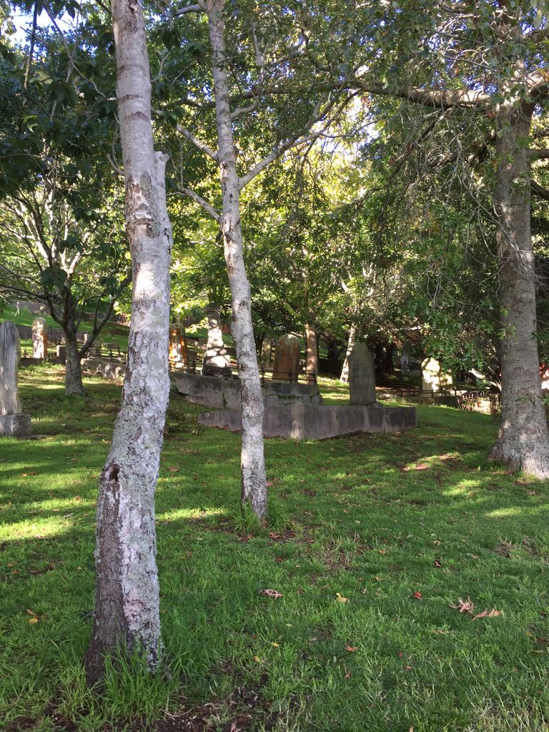
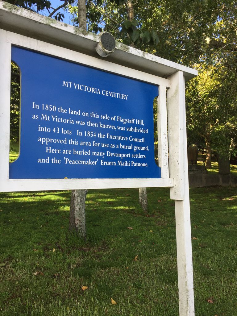
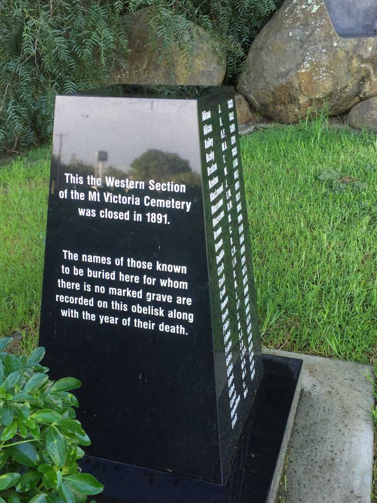
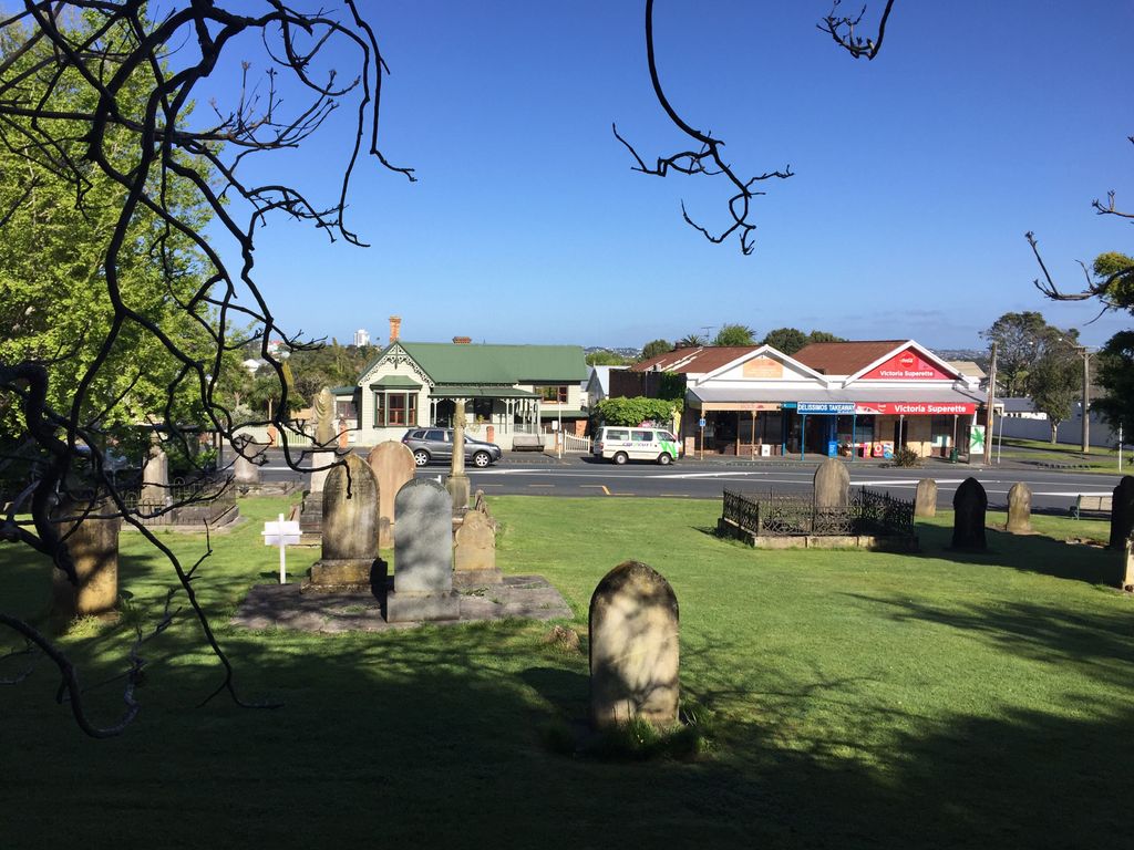
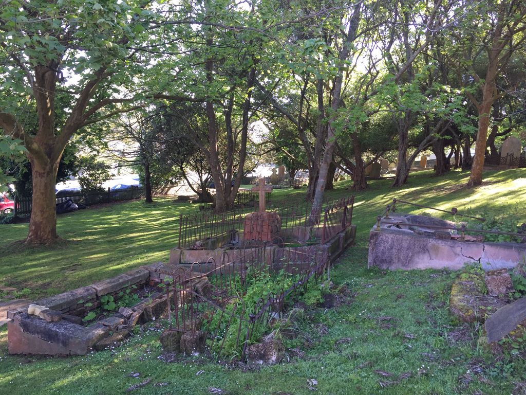
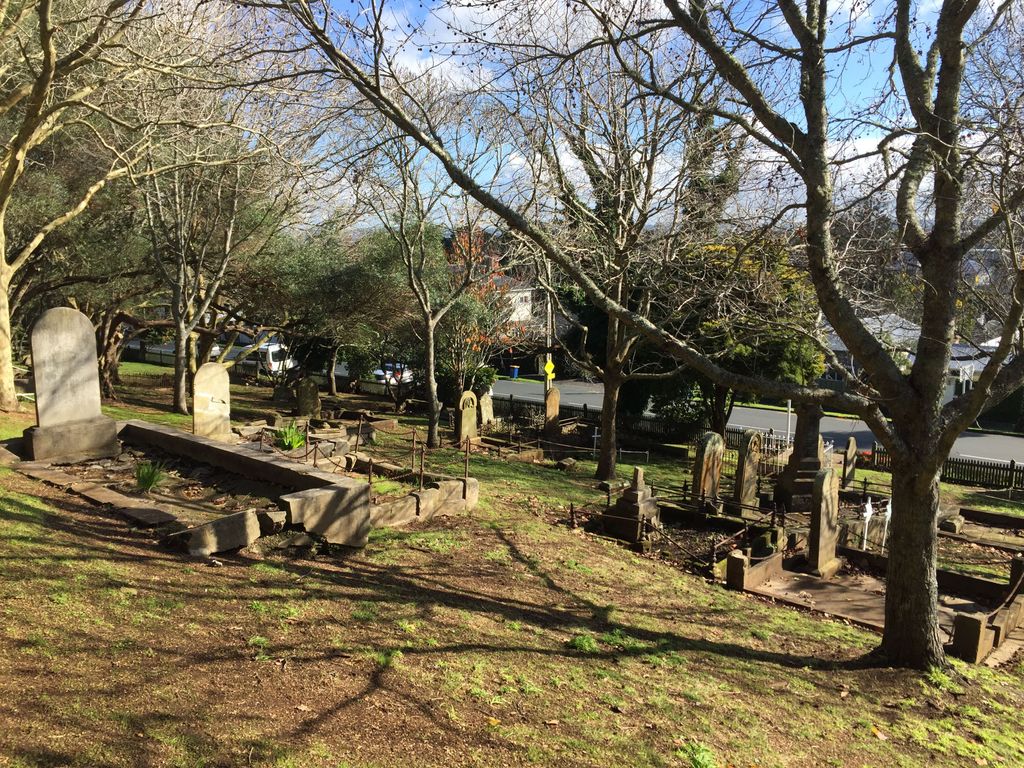
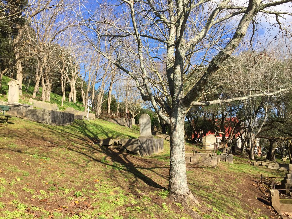
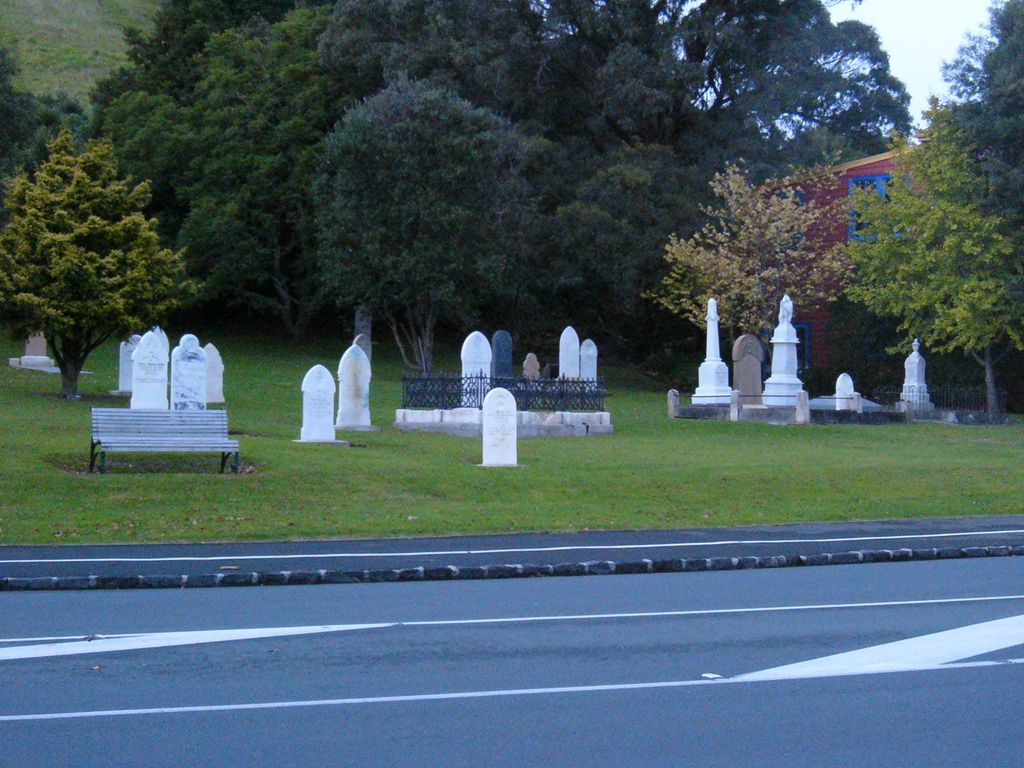
| Description | : | The Crown reserved land for a cemetery when the area around Flagstaff Hill, now known as Mt Victoria, was sold for suburban farms in 1850. There were also interments at the Catholic, Presbyterian and Anglican churchyards on the slopes of Mt Victoria. In 1854 the Executive Council approved the site for usage as a burial ground. Many Devonport settlers are buried here. Mt Victoria Cemetery was closed in November 1890, but because O'Neill's Point Cemetery had not yet opened, interments still took place there, and in fact continued to at family plots, until the 1930s. The first interment at Mt... Read More |
frequently asked questions (FAQ):
-
Where is Mount Victoria Cemetery?
Mount Victoria Cemetery is located at Behind the two churches on the left past the roundabout at Lake Rd and Albert Rd, Devonport, Auckland Council ,Auckland , 0624New Zealand.
-
Mount Victoria Cemetery cemetery's updated grave count on graveviews.com?
26 memorials
-
Where are the coordinates of the Mount Victoria Cemetery?
Latitude: -36.8252490
Longitude: 174.7978140
Nearby Cemetories:
1. Royal New Zealand Navy Memorial
Devonport, Auckland Council, New Zealand
Coordinate: -36.8305900, 174.7898900
2. O'Neill's Point Cemetery
Belmont, Auckland Council, New Zealand
Coordinate: -36.8103002, 174.7812784
3. St. Stephen's Churchyard
Auckland, Auckland Council, New Zealand
Coordinate: -36.8504860, 174.7899970
4. Savage Memorial
Auckland, Auckland Council, New Zealand
Coordinate: -36.8462500, 174.8259300
5. Ōrākei (Rautara St) Urupā
Orakei, Auckland Council, New Zealand
Coordinate: -36.8610770, 174.8188960
6. Symonds Street Cemetery
Auckland, Auckland Council, New Zealand
Coordinate: -36.8582828, 174.7636628
7. Purewa Cemetery
Meadowbank, Auckland Council, New Zealand
Coordinate: -36.8674300, 174.8297900
8. Mount Eden Stockade Cemetery
Mount Eden, Auckland Council, New Zealand
Coordinate: -36.8678370, 174.7666430
9. St Mark's Anglican Church Cemetery
Remuera, Auckland Council, New Zealand
Coordinate: -36.8729300, 174.7801600
10. St. Thomas Churchyard
Tamaki, Auckland Council, New Zealand
Coordinate: -36.8675590, 174.8460560
11. St. John’s College Graveyard
Saint Johns, Auckland Council, New Zealand
Coordinate: -36.8738169, 174.8416826
12. Pompallier Cemetery
Birkenhead, Auckland Council, New Zealand
Coordinate: -36.8036900, 174.7251200
13. Birkenhead-Glenfield Cemetery
Birkenhead, Auckland Council, New Zealand
Coordinate: -36.7989000, 174.7234700
14. Saint Andrew's Churchyard
Epsom, Auckland Council, New Zealand
Coordinate: -36.8937200, 174.7654100
15. Point England Presbyterian Cemetery
Point England, Auckland Council, New Zealand
Coordinate: -36.8823420, 174.8601550
16. St. Luke's Anglican Church Cemetery
Mount Albert, Auckland Council, New Zealand
Coordinate: -36.8785540, 174.7290400
17. St. Patrick's Roman Catholic Church Cemetery
Panmure, Auckland Council, New Zealand
Coordinate: -36.9029680, 174.8564960
18. St Matthias Churchyard
Panmure, Auckland Council, New Zealand
Coordinate: -36.9053300, 174.8577200
19. Our Lady of the Assumption Catholic Church
Ōnehunga, Auckland Council, New Zealand
Coordinate: -36.9223690, 174.7884530
20. Onehunga Catholic Cemetery
Ōnehunga, Auckland Council, New Zealand
Coordinate: -36.9224360, 174.7884560
21. St. Peter's Anglican Cemetery
Ōnehunga, Auckland Council, New Zealand
Coordinate: -36.9227113, 174.7847550
22. Waikaraka Cemetery
Ōnehunga, Auckland Council, New Zealand
Coordinate: -36.9297140, 174.7967170
23. Hillsborough Cemetery
Hillsborough, Auckland Council, New Zealand
Coordinate: -36.9246600, 174.7524030
24. Pakuranga Methodist Cemetery
Pakuranga, Auckland Council, New Zealand
Coordinate: -36.9054000, 174.8914900