
| Memorials | : | 1 |
| Location | : | Tamaki, Auckland Council, New Zealand |
| Coordinate | : | -36.8675590, 174.8460560 |
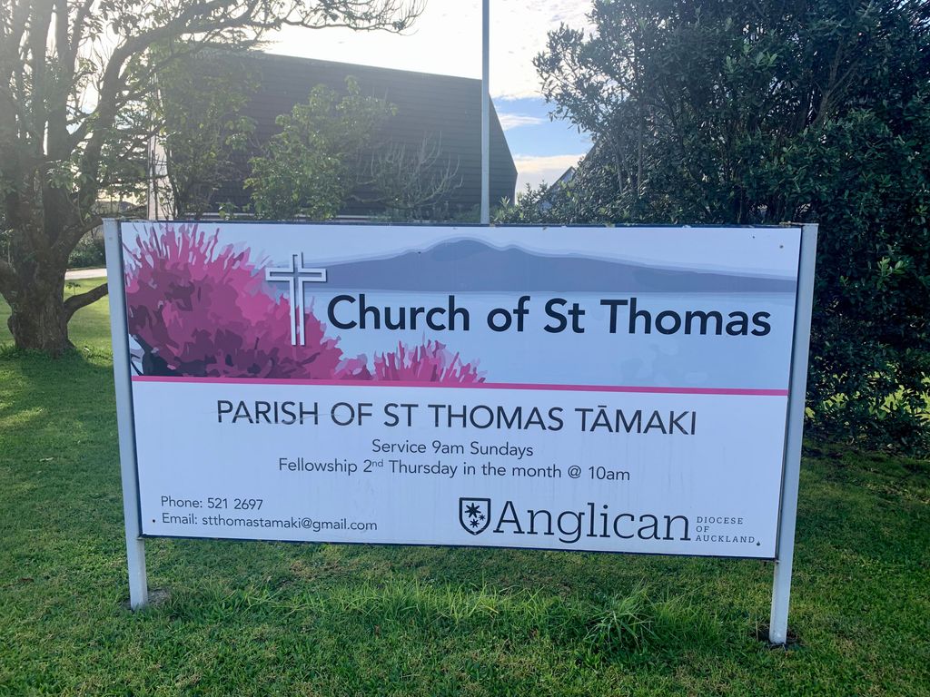
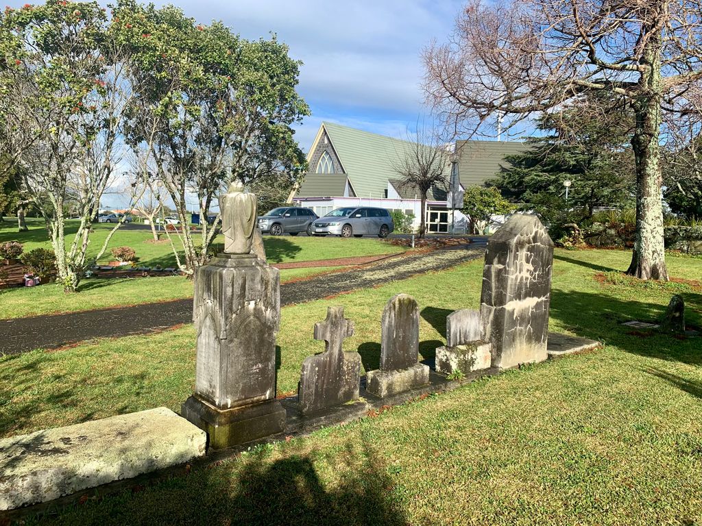
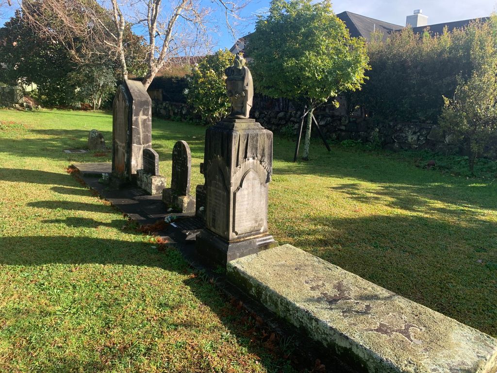
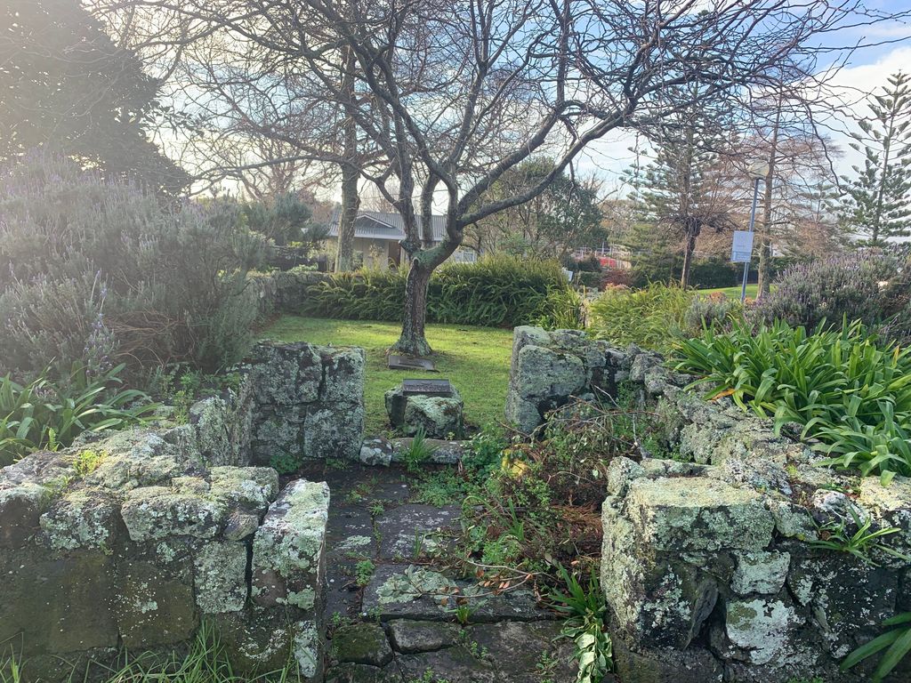
| Description | : | The first church of St. Thomas was built here in 1844, and abandoned in 1864 after structural failure. It served in its early years as a chapel for St. John's College. The Memorial Garden marks the site of the historical burial ground. The first burial, of Dame Annie White, on 16th October 1845 was conducted by George Augustus Selwyn, first Bishop of New Zealand. Burial registers record the deaths of early settlers and Maori, young and old. At the time of the last burial , in 1938, the burial ground had been in use for almost 100 years. |
frequently asked questions (FAQ):
-
Where is St. Thomas Churchyard?
St. Thomas Churchyard is located at 368 Kohimarama Road, Kohimarama, Auckland. Tamaki, Auckland Council ,Auckland , 1071New Zealand.
-
St. Thomas Churchyard cemetery's updated grave count on graveviews.com?
1 memorials
-
Where are the coordinates of the St. Thomas Churchyard?
Latitude: -36.8675590
Longitude: 174.8460560

Nearby Cemetories:
1. St. John’s College Graveyard
Saint Johns, Auckland Council, New Zealand
Coordinate: -36.8738169, 174.8416826
2. Purewa Cemetery
Meadowbank, Auckland Council, New Zealand
Coordinate: -36.8674300, 174.8297900
3. Point England Presbyterian Cemetery
Point England, Auckland Council, New Zealand
Coordinate: -36.8823420, 174.8601550
4. Ōrākei (Rautara St) Urupā
Orakei, Auckland Council, New Zealand
Coordinate: -36.8610770, 174.8188960
5. Savage Memorial
Auckland, Auckland Council, New Zealand
Coordinate: -36.8462500, 174.8259300
6. St. Patrick's Roman Catholic Church Cemetery
Panmure, Auckland Council, New Zealand
Coordinate: -36.9029680, 174.8564960
7. St Matthias Churchyard
Panmure, Auckland Council, New Zealand
Coordinate: -36.9053300, 174.8577200
8. St. Stephen's Churchyard
Auckland, Auckland Council, New Zealand
Coordinate: -36.8504860, 174.7899970
9. Pakuranga Methodist Cemetery
Pakuranga, Auckland Council, New Zealand
Coordinate: -36.9054000, 174.8914900
10. St Mark's Anglican Church Cemetery
Remuera, Auckland Council, New Zealand
Coordinate: -36.8729300, 174.7801600
11. Mount Victoria Cemetery
Devonport, Auckland Council, New Zealand
Coordinate: -36.8252490, 174.7978140
12. Royal New Zealand Navy Memorial
Devonport, Auckland Council, New Zealand
Coordinate: -36.8305900, 174.7898900
13. Howick Historical Village
Pakuranga, Auckland Council, New Zealand
Coordinate: -36.9067680, 174.9027080
14. Mount Eden Stockade Cemetery
Mount Eden, Auckland Council, New Zealand
Coordinate: -36.8678370, 174.7666430
15. Symonds Street Cemetery
Auckland, Auckland Council, New Zealand
Coordinate: -36.8582828, 174.7636628
16. St. Andrew Presbyterian Cemetery
Howick, Auckland Council, New Zealand
Coordinate: -36.8989900, 174.9201600
17. Saint Andrew's Churchyard
Epsom, Auckland Council, New Zealand
Coordinate: -36.8937200, 174.7654100
18. Holy Trinity Memorial Park
Ōtāhūhū, Auckland Council, New Zealand
Coordinate: -36.9374510, 174.8448580
19. Otahuhu Public Cemetery
Ōtāhūhū, Auckland Council, New Zealand
Coordinate: -36.9377500, 174.8432390
20. Our Lady of the Assumption Catholic Church
Ōnehunga, Auckland Council, New Zealand
Coordinate: -36.9223690, 174.7884530
21. Onehunga Catholic Cemetery
Ōnehunga, Auckland Council, New Zealand
Coordinate: -36.9224360, 174.7884560
22. Our Lady Star of the Sea Parish Cemetery
Howick, Auckland Council, New Zealand
Coordinate: -36.8932940, 174.9307940
23. Waikaraka Cemetery
Ōnehunga, Auckland Council, New Zealand
Coordinate: -36.9297140, 174.7967170
24. St. Peter's Anglican Cemetery
Ōnehunga, Auckland Council, New Zealand
Coordinate: -36.9227113, 174.7847550