
| Memorials | : | 645 |
| Location | : | Meadowbank, Auckland Council, New Zealand |
| Coordinate | : | -36.8674300, 174.8297900 |
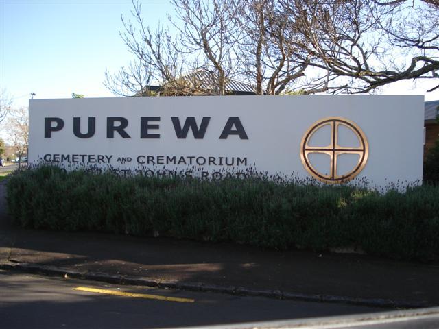
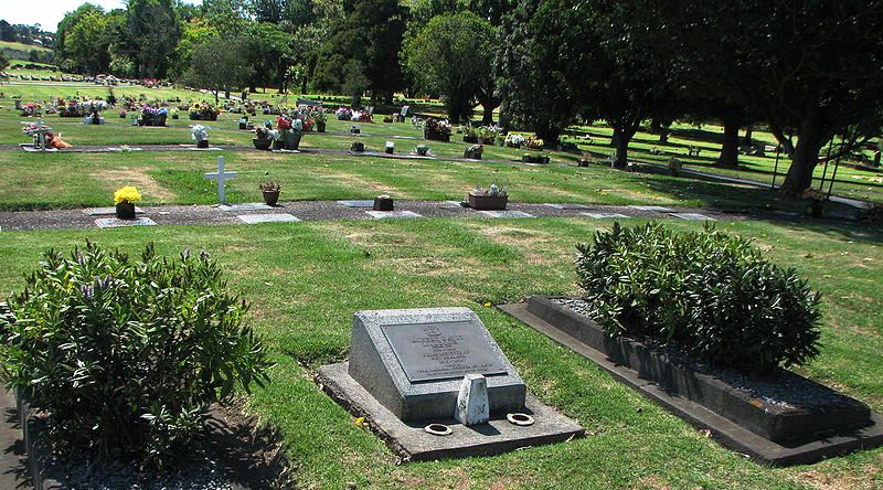
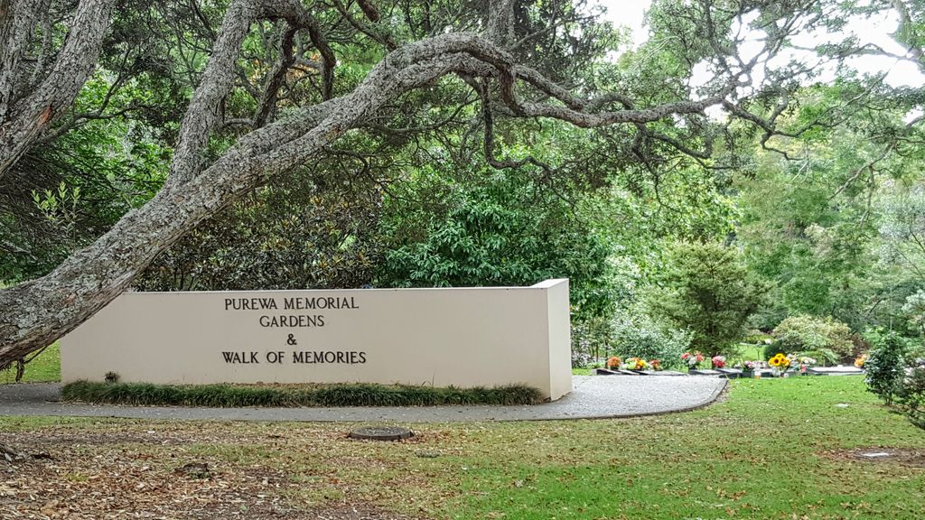
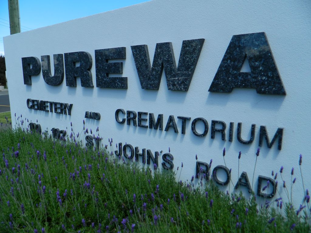
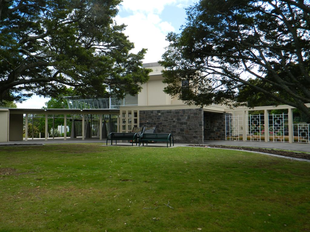
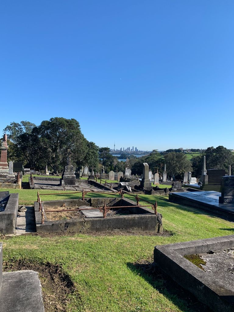
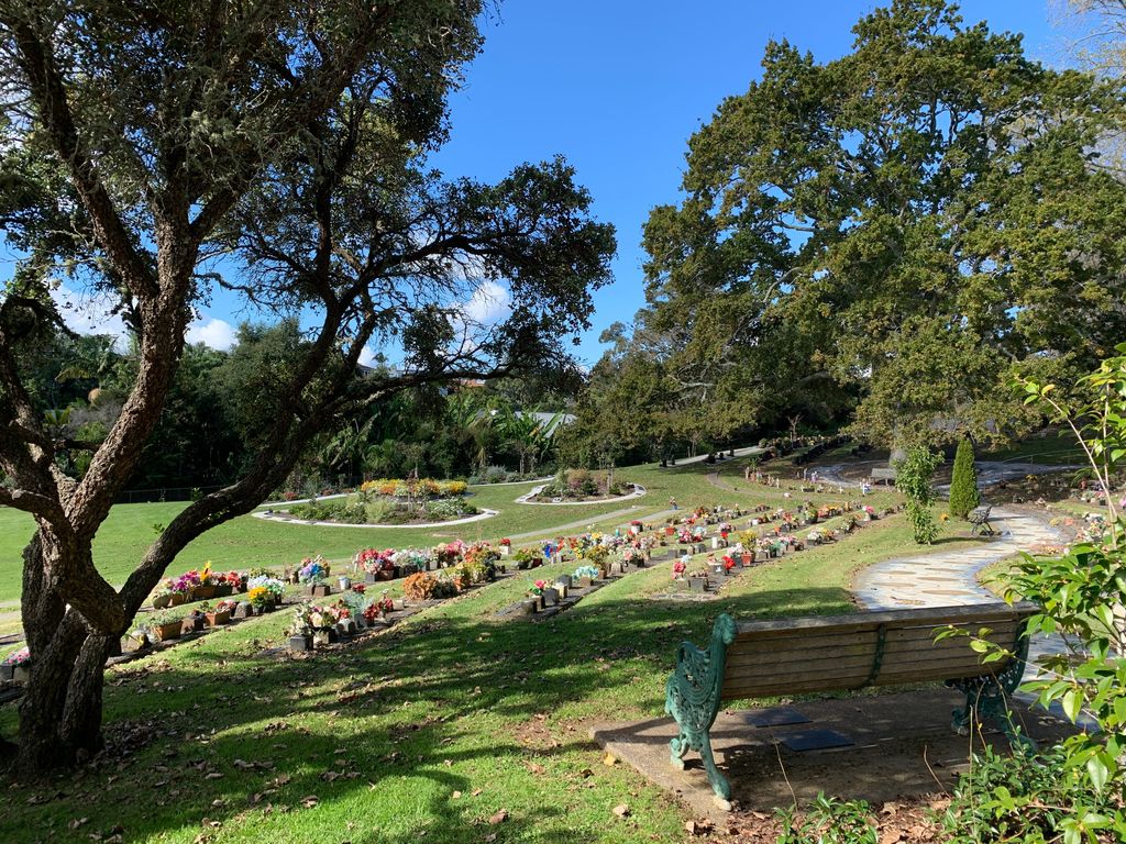
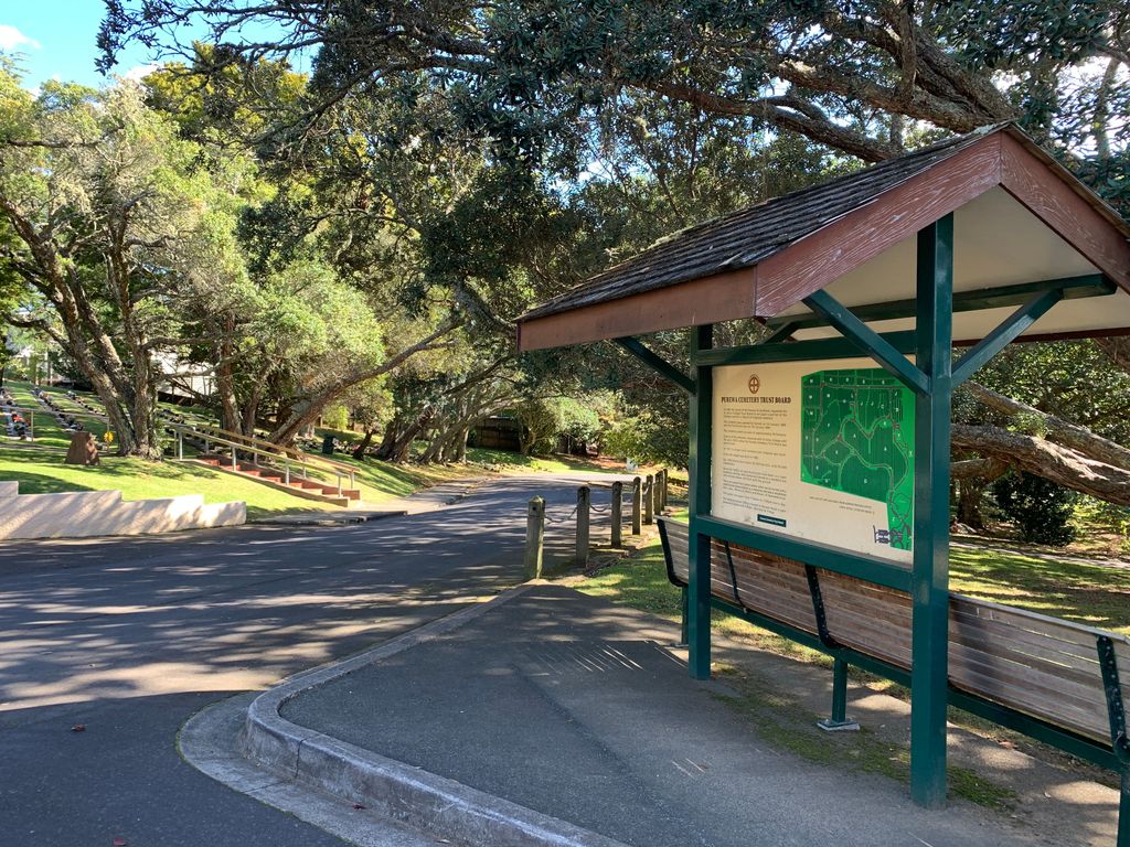
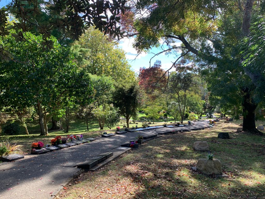
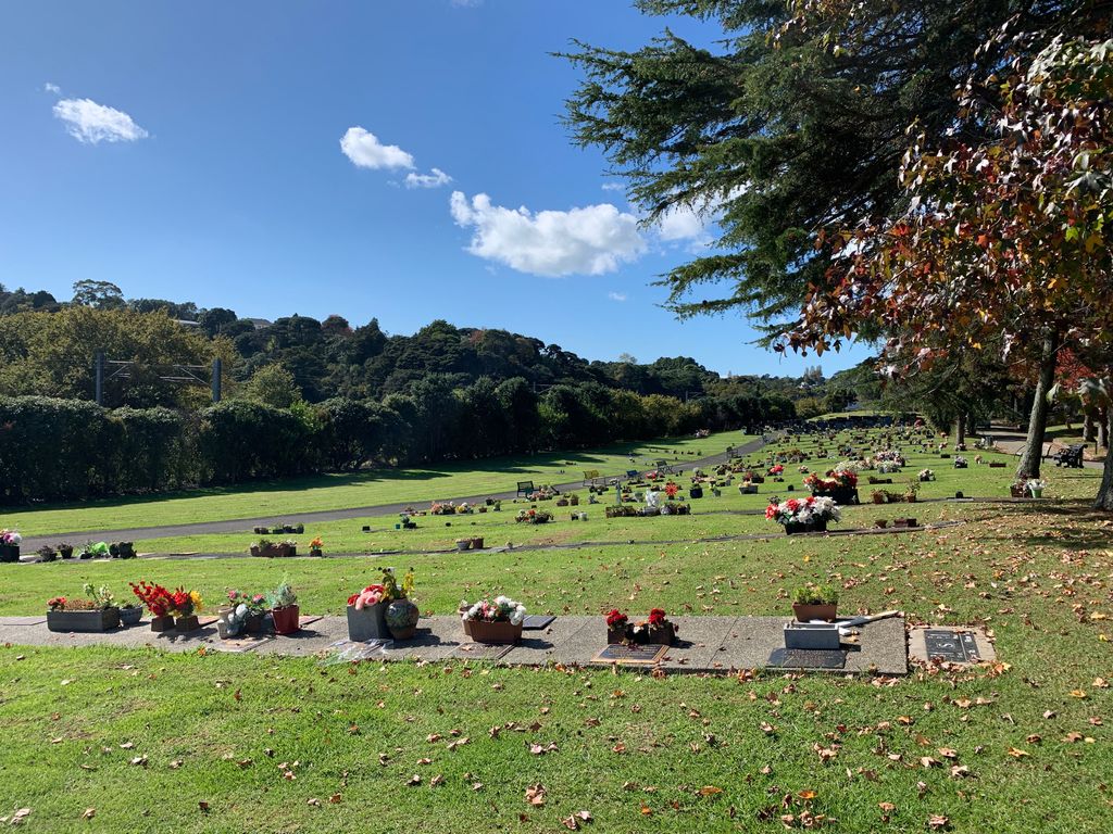
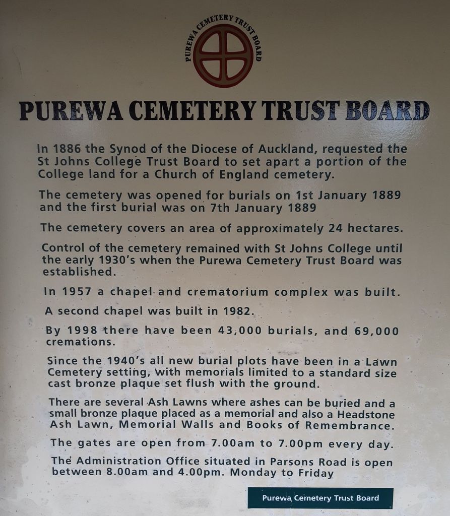
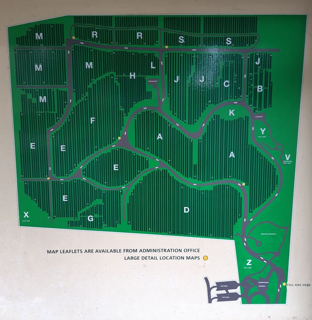
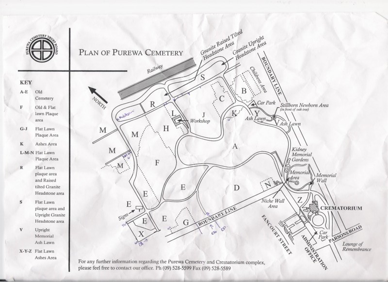
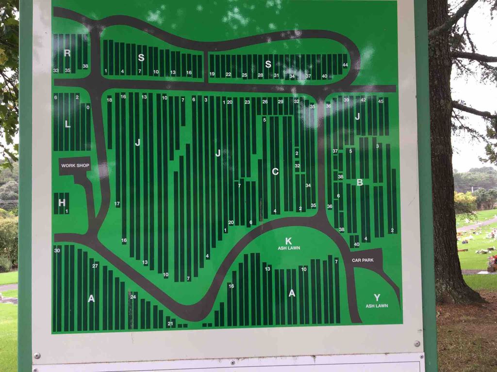
| Description | : | In 1889, the Anglican Church established Purewa Cemetery through a gift of land. The cemetery still remains one of the Anglican Church's most important assets. The tranquil surroundings of this 45 acre cemetery are now administered by the Purewa Cemetery Trust Board. This cemetery is the final resting place for over 45,000 men, women and children, including many of Auckland's notable business and political leaders, clergy and V.C. holders. |
frequently asked questions (FAQ):
-
Where is Purewa Cemetery?
Purewa Cemetery is located at 4 Parson Road Meadowbank, Auckland Council ,Auckland , 1005 New Zealand.
-
Purewa Cemetery cemetery's updated grave count on graveviews.com?
559 memorials
-
Where are the coordinates of the Purewa Cemetery?
Latitude: -36.8674300
Longitude: 174.8297900
Nearby Cemetories:
1. Ōrākei (Rautara St) Urupā
Orakei, Auckland Council, New Zealand
Coordinate: -36.8610770, 174.8188960
2. St. John’s College Graveyard
Saint Johns, Auckland Council, New Zealand
Coordinate: -36.8738169, 174.8416826
3. St. Thomas Churchyard
Tamaki, Auckland Council, New Zealand
Coordinate: -36.8675590, 174.8460560
4. Savage Memorial
Auckland, Auckland Council, New Zealand
Coordinate: -36.8462500, 174.8259300
5. Point England Presbyterian Cemetery
Point England, Auckland Council, New Zealand
Coordinate: -36.8823420, 174.8601550
6. St. Stephen's Churchyard
Auckland, Auckland Council, New Zealand
Coordinate: -36.8504860, 174.7899970
7. St Mark's Anglican Church Cemetery
Remuera, Auckland Council, New Zealand
Coordinate: -36.8729300, 174.7801600
8. St. Patrick's Roman Catholic Church Cemetery
Panmure, Auckland Council, New Zealand
Coordinate: -36.9029680, 174.8564960
9. St Matthias Churchyard
Panmure, Auckland Council, New Zealand
Coordinate: -36.9053300, 174.8577200
10. Royal New Zealand Navy Memorial
Devonport, Auckland Council, New Zealand
Coordinate: -36.8305900, 174.7898900
11. Mount Victoria Cemetery
Devonport, Auckland Council, New Zealand
Coordinate: -36.8252490, 174.7978140
12. Mount Eden Stockade Cemetery
Mount Eden, Auckland Council, New Zealand
Coordinate: -36.8678370, 174.7666430
13. Symonds Street Cemetery
Auckland, Auckland Council, New Zealand
Coordinate: -36.8582828, 174.7636628
14. Saint Andrew's Churchyard
Epsom, Auckland Council, New Zealand
Coordinate: -36.8937200, 174.7654100
15. Pakuranga Methodist Cemetery
Pakuranga, Auckland Council, New Zealand
Coordinate: -36.9054000, 174.8914900
16. Our Lady of the Assumption Catholic Church
Ōnehunga, Auckland Council, New Zealand
Coordinate: -36.9223690, 174.7884530
17. Onehunga Catholic Cemetery
Ōnehunga, Auckland Council, New Zealand
Coordinate: -36.9224360, 174.7884560
18. St. Peter's Anglican Cemetery
Ōnehunga, Auckland Council, New Zealand
Coordinate: -36.9227113, 174.7847550
19. Waikaraka Cemetery
Ōnehunga, Auckland Council, New Zealand
Coordinate: -36.9297140, 174.7967170
20. O'Neill's Point Cemetery
Belmont, Auckland Council, New Zealand
Coordinate: -36.8103002, 174.7812784
21. Howick Historical Village
Pakuranga, Auckland Council, New Zealand
Coordinate: -36.9067680, 174.9027080
22. Holy Trinity Memorial Park
Ōtāhūhū, Auckland Council, New Zealand
Coordinate: -36.9374510, 174.8448580
23. Otahuhu Public Cemetery
Ōtāhūhū, Auckland Council, New Zealand
Coordinate: -36.9377500, 174.8432390
24. St. Joseph and St. Joachim Catholic Cemetery
Ōtāhūhū, Auckland Council, New Zealand
Coordinate: -36.9436100, 174.8490100