
| Memorials | : | 3 |
| Location | : | Plattsburg, Clinton County, USA |
| Coordinate | : | 39.5572014, -94.4411011 |
frequently asked questions (FAQ):
-
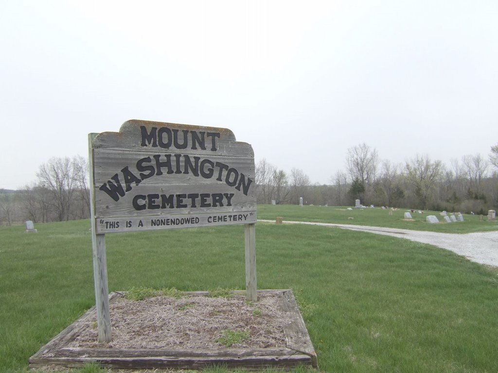
Where is Mount Washington Cemetery?
Mount Washington Cemetery is located at Plattsburg, Clinton County ,Missouri ,USA.
-
Mount Washington Cemetery cemetery's updated grave count on graveviews.com?
3 memorials
-
Where are the coordinates of the Mount Washington Cemetery?
Latitude: 39.5572014
Longitude: -94.4411011
Nearby Cemetories:
1. Calvary Cemetery
Plattsburg, Clinton County, USA
Coordinate: 39.5583000, -94.4436035
2. Greenlawn Cemetery
Plattsburg, Clinton County, USA
Coordinate: 39.5586014, -94.4483032
3. Old Plattsburg Cemetery
Plattsburg, Clinton County, USA
Coordinate: 39.5635900, -94.4470600
4. Brethren Church Cemetery
Plattsburg, Clinton County, USA
Coordinate: 39.5865898, -94.4329605
5. Hanks Cemetery
Clinton County, USA
Coordinate: 39.5289001, -94.4625015
6. Transue Cemetery
Plattsburg, Clinton County, USA
Coordinate: 39.5821991, -94.4030991
7. McWilliams Cemetery
Clinton County, USA
Coordinate: 39.5755997, -94.3855972
8. Log Church Cemetery
Perrin, Clinton County, USA
Coordinate: 39.6010017, -94.4135971
9. Mackintyre's Church and Cemetery
Lathrop, Clinton County, USA
Coordinate: 39.5073700, -94.3891100
10. Cook Cemetery
Clinton County, USA
Coordinate: 39.4805984, -94.4452972
11. Fairview Cemetery
Guyton, Clinton County, USA
Coordinate: 39.4756012, -94.4443970
12. Poage Cemetery
Clinton County, USA
Coordinate: 39.5850940, -94.5411090
13. Stony Point Cemetery
Trimble, Clinton County, USA
Coordinate: 39.5136108, -94.5336075
14. Mecca Cemetery
Mecca, Clinton County, USA
Coordinate: 39.4895200, -94.5105200
15. Eberts Cemetery
Clinton County, USA
Coordinate: 39.4692001, -94.4356003
16. Mount Zion Cemetery
Plattsburg, Clinton County, USA
Coordinate: 39.4672012, -94.4242020
17. Lathrop Cemetery
Lathrop, Clinton County, USA
Coordinate: 39.5463104, -94.3201294
18. Elliott Cemetery
Grayson, Clinton County, USA
Coordinate: 39.5062000, -94.5452000
19. Grooms Cemetery
Grayson, Clinton County, USA
Coordinate: 39.5563393, -94.5646286
20. Round Prairie Cemetery
Clinton County, USA
Coordinate: 39.6377983, -94.3716965
21. Mount Zion Baptist Cemetery
Starfield, Clinton County, USA
Coordinate: 39.6381493, -94.5121231
22. Mount Carmel Cemetery
Gower, Clinton County, USA
Coordinate: 39.5877991, -94.5667038
23. Perrin Cemetery
Perrin, Clinton County, USA
Coordinate: 39.6590805, -94.4028168
24. Grayson Cemetery
Grayson, Clinton County, USA
Coordinate: 39.5266991, -94.5733032