
| Memorials | : | 23 |
| Location | : | Lathrop, Clinton County, USA |
| Coordinate | : | 39.5463104, -94.3201294 |
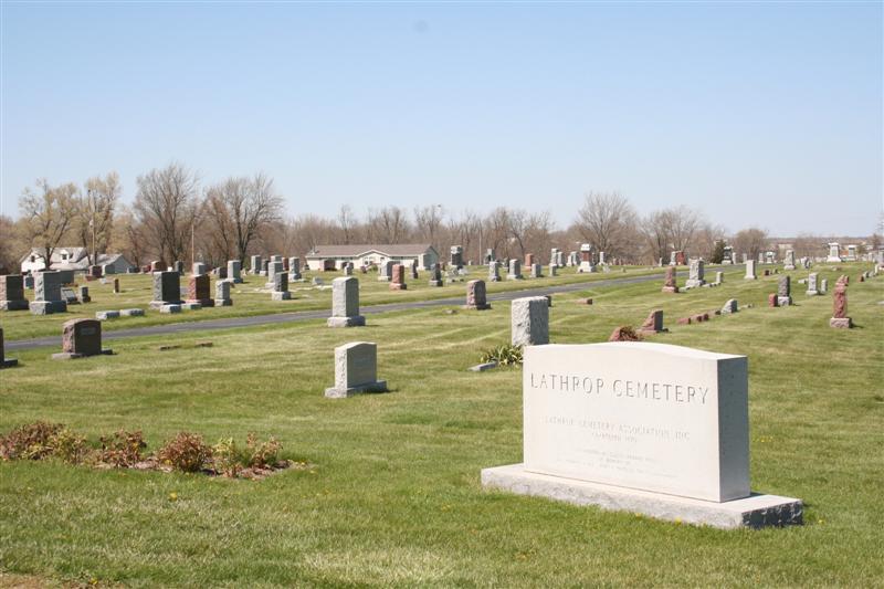
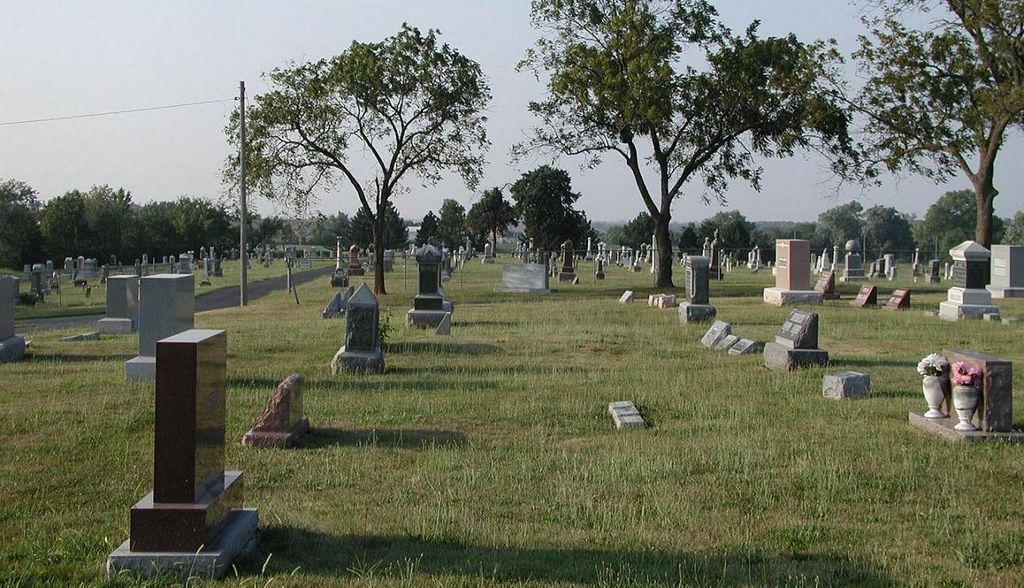
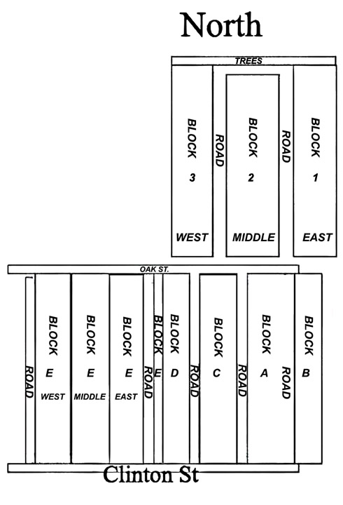
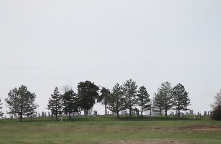
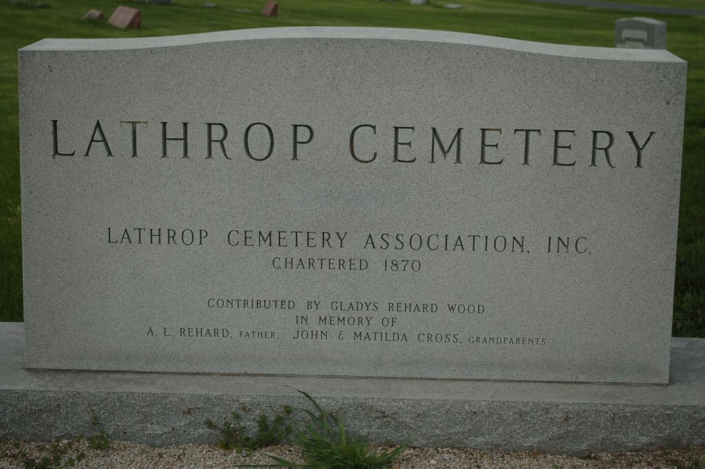
| Description | : | The Lathrop Cemetery sits on the SE edge of the town of Lathrop. From Highway 33, turn east on Clinton Street, and the cemetery is several blocks straight ahead. There is now a small shelter with lists of the names and plots, and maps showing where each plot lies within each block. |
frequently asked questions (FAQ):
-
Where is Lathrop Cemetery?
Lathrop Cemetery is located at Lathrop, Clinton County ,Missouri ,USA.
-
Lathrop Cemetery cemetery's updated grave count on graveviews.com?
22 memorials
-
Where are the coordinates of the Lathrop Cemetery?
Latitude: 39.5463104
Longitude: -94.3201294
Nearby Cemetories:
1. Bethel Cemetery
Clinton County, USA
Coordinate: 39.5494003, -94.2510986
2. Converse Cemetery
Lathrop, Clinton County, USA
Coordinate: 39.4994011, -94.2794037
3. McWilliams Cemetery
Clinton County, USA
Coordinate: 39.5755997, -94.3855972
4. Walker Cemetery
Clinton County, USA
Coordinate: 39.5987630, -94.2800220
5. Brooking Cemetery
Lathrop, Clinton County, USA
Coordinate: 39.5505981, -94.2407990
6. Mackintyre's Church and Cemetery
Lathrop, Clinton County, USA
Coordinate: 39.5073700, -94.3891100
7. Transue Cemetery
Plattsburg, Clinton County, USA
Coordinate: 39.5821991, -94.4030991
8. Barnesville Cemetery
Barnesville, Clinton County, USA
Coordinate: 39.5046310, -94.2302322
9. Oakland Cemetery
Haynesville, Clinton County, USA
Coordinate: 39.4631004, -94.3114014
10. Log Church Cemetery
Perrin, Clinton County, USA
Coordinate: 39.6010017, -94.4135971
11. Antioch Cemetery
Holt, Clay County, USA
Coordinate: 39.4552994, -94.3214035
12. Turney Cemetery
Turney, Clinton County, USA
Coordinate: 39.6377983, -94.3195038
13. Mount Washington Cemetery
Plattsburg, Clinton County, USA
Coordinate: 39.5572014, -94.4411011
14. Brethren Church Cemetery
Plattsburg, Clinton County, USA
Coordinate: 39.5865898, -94.4329605
15. Calvary Cemetery
Plattsburg, Clinton County, USA
Coordinate: 39.5583000, -94.4436035
16. Estep Cemetery
Turney, Clinton County, USA
Coordinate: 39.6296997, -94.2528000
17. Wilerton - McClelland Cemetery
Clay County, USA
Coordinate: 39.4481823, -94.3315423
18. Gill Family Cemetery
Holt, Clay County, USA
Coordinate: 39.4496384, -94.2937927
19. Old Plattsburg Cemetery
Plattsburg, Clinton County, USA
Coordinate: 39.5635900, -94.4470600
20. Greenlawn Cemetery
Plattsburg, Clinton County, USA
Coordinate: 39.5586014, -94.4483032
21. Round Prairie Cemetery
Clinton County, USA
Coordinate: 39.6377983, -94.3716965
22. Deer Creek Cemetery
Lathrop, Clinton County, USA
Coordinate: 39.6211014, -94.2292023
23. Arnold-Spellman Graveyard
Holt, Clay County, USA
Coordinate: 39.4364000, -94.3320000
24. Hanks Cemetery
Clinton County, USA
Coordinate: 39.5289001, -94.4625015