| Memorials | : | 0 |
| Location | : | Edwin, Henry County, USA |
| Coordinate | : | 31.6853008, -85.3097000 |
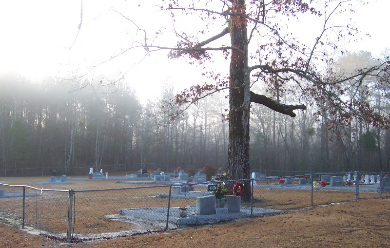
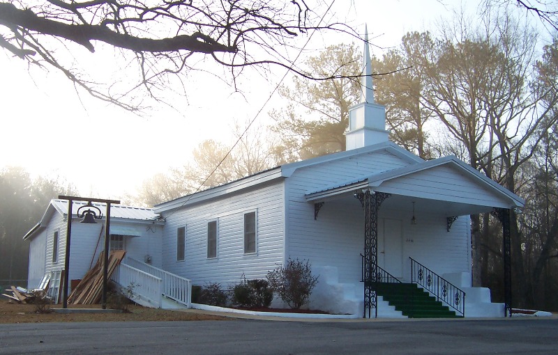
| Description | : | The church and the two acres of land that it and the cemetery sit on was donated by Mr. & Mrs. Needam Shirley and built in 1881. The bell hanging in the church yard was rung when something bad happened and all the community would come to the church to be advised of deaths. |
frequently asked questions (FAQ):
-
Where is Mount Zion Free Will Baptist Church Cemetery?
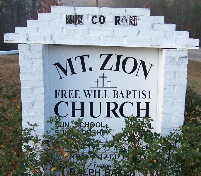
Mount Zion Free Will Baptist Church Cemetery is located at 2919 CR-31 Edwin, Henry County ,Alabama ,USA.
-
Mount Zion Free Will Baptist Church Cemetery cemetery's updated grave count on graveviews.com?
0 memorials
-
Where are the coordinates of the Mount Zion Free Will Baptist Church Cemetery?
Latitude: 31.6853008
Longitude: -85.3097000
Nearby Cemetories:
1. New Hope Freewill Baptist Church Cemetery
Henry County, USA
Coordinate: 31.6728200, -85.3137600
2. Holley Family Cemetery
Henry County, USA
Coordinate: 31.6632440, -85.2843120
3. County Line Cemetery
Henry County, USA
Coordinate: 31.7024994, -85.2763977
4. Pond Bethel Methodist Church Cemetery
Barbour County, USA
Coordinate: 31.7196999, -85.3308029
5. Landmark Christian Cemetery
Baker Hill, Barbour County, USA
Coordinate: 31.7242500, -85.3322000
6. Lawrenceville Cemetery
Henry County, USA
Coordinate: 31.6555996, -85.2696991
7. Lee Cemetery
Baker Hill, Barbour County, USA
Coordinate: 31.7357590, -85.3423980
8. Church of Abbeville Cemetery
Henry County, USA
Coordinate: 31.6608570, -85.3727500
9. Edwin Community Cemetery
Henry County, USA
Coordinate: 31.6660995, -85.3758011
10. Oakey Grove Promised Land Freewill Baptist Church
Baker Hill, Barbour County, USA
Coordinate: 31.7393800, -85.3421300
11. Hutto Family Cemetery
Henry County, USA
Coordinate: 31.6240310, -85.3090340
12. Union Grove Baptist Church Cemetery
Barbour County, USA
Coordinate: 31.7330933, -85.2580707
13. Mount Pleasant Cemetery
Pleasant Hill, Barbour County, USA
Coordinate: 31.7192060, -85.2405010
14. Creel Church Cemetery
Pratts, Barbour County, USA
Coordinate: 31.7343998, -85.3696976
15. Adams Chapel Cemetery
Texasville, Barbour County, USA
Coordinate: 31.7198440, -85.3838320
16. Sardis Cemetery
Abbeville, Henry County, USA
Coordinate: 31.6169243, -85.2803650
17. Saint Michael AME Church Cemetery
Edwin, Henry County, USA
Coordinate: 31.6511870, -85.3901880
18. Wrights Chapel Cemetery
Henry County, USA
Coordinate: 31.6289720, -85.3776340
19. Friendly Assembly of God Church Cemetery
Texasville, Barbour County, USA
Coordinate: 31.7497340, -85.3697770
20. Belcher Bethel Baptist Church Cemetery
Baker Hill, Barbour County, USA
Coordinate: 31.7676400, -85.3154950
21. Pleasant Hill Baptist Church Cemetery
Eufaula, Barbour County, USA
Coordinate: 31.7427998, -85.2363968
22. New Prospect Freewill Baptist Church Cemetery
Henry County, USA
Coordinate: 31.6741840, -85.4104130
23. Danzey Cemetery
Henry County, USA
Coordinate: 31.5972004, -85.2908020
24. Liberty Cemetery
Scottsboro Crossroads, Henry County, USA
Coordinate: 31.6807995, -85.2024994


