
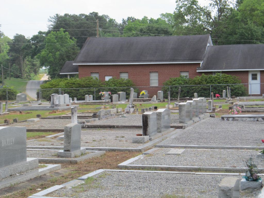
| Memorials | : | 3 |
| Location | : | Henry County, USA |
| Coordinate | : | 31.6660995, -85.3758011 |
frequently asked questions (FAQ):
-
Where is Edwin Community Cemetery?
Edwin Community Cemetery is located at Henry County ,Alabama ,USA.
-
Edwin Community Cemetery cemetery's updated grave count on graveviews.com?
3 memorials
-
Where are the coordinates of the Edwin Community Cemetery?
Latitude: 31.6660995
Longitude: -85.3758011


Nearby Cemetories:
1. Church of Abbeville Cemetery
Henry County, USA
Coordinate: 31.6608570, -85.3727500
2. Saint Michael AME Church Cemetery
Edwin, Henry County, USA
Coordinate: 31.6511870, -85.3901880
3. New Prospect Freewill Baptist Church Cemetery
Henry County, USA
Coordinate: 31.6741840, -85.4104130
4. Wrights Chapel Cemetery
Henry County, USA
Coordinate: 31.6289720, -85.3776340
5. New Hope Freewill Baptist Church Cemetery
Henry County, USA
Coordinate: 31.6728200, -85.3137600
6. Adams Chapel Cemetery
Texasville, Barbour County, USA
Coordinate: 31.7198440, -85.3838320
7. Tew Cemetery
Barbour County, USA
Coordinate: 31.6480999, -85.4400024
8. Shiloh Word Fellowship Cemetery
Blue Springs, Barbour County, USA
Coordinate: 31.6405470, -85.4379620
9. Mount Zion Free Will Baptist Church Cemetery
Edwin, Henry County, USA
Coordinate: 31.6853008, -85.3097000
10. Texasville Cemetery
Texasville, Barbour County, USA
Coordinate: 31.7152996, -85.4227982
11. Spring Hill Cemetery
Blue Springs, Barbour County, USA
Coordinate: 31.6669006, -85.4518967
12. Pond Bethel Methodist Church Cemetery
Barbour County, USA
Coordinate: 31.7196999, -85.3308029
13. Creel Church Cemetery
Pratts, Barbour County, USA
Coordinate: 31.7343998, -85.3696976
14. Landmark Christian Cemetery
Baker Hill, Barbour County, USA
Coordinate: 31.7242500, -85.3322000
15. Wilkinson Cemetery
Blue Springs, Barbour County, USA
Coordinate: 31.6213130, -85.4384410
16. Hutto Family Cemetery
Henry County, USA
Coordinate: 31.6240310, -85.3090340
17. Clopton Cemetery
Ozark, Dale County, USA
Coordinate: 31.6093998, -85.4282990
18. Lee Cemetery
Baker Hill, Barbour County, USA
Coordinate: 31.7357590, -85.3423980
19. Holley Family Cemetery
Henry County, USA
Coordinate: 31.6632440, -85.2843120
20. Oakey Grove Promised Land Freewill Baptist Church
Baker Hill, Barbour County, USA
Coordinate: 31.7393800, -85.3421300
21. Friendly Assembly of God Church Cemetery
Texasville, Barbour County, USA
Coordinate: 31.7497340, -85.3697770
22. Corinth Baptist Church Cemetery
Barbour County, USA
Coordinate: 31.7075005, -85.4700012
23. Lawrenceville Cemetery
Henry County, USA
Coordinate: 31.6555996, -85.2696991
24. County Line Cemetery
Henry County, USA
Coordinate: 31.7024994, -85.2763977