
| Memorials | : | 0 |
| Location | : | Hayesville, Clay County, USA |
| Coordinate | : | 34.9896120, -83.8373240 |
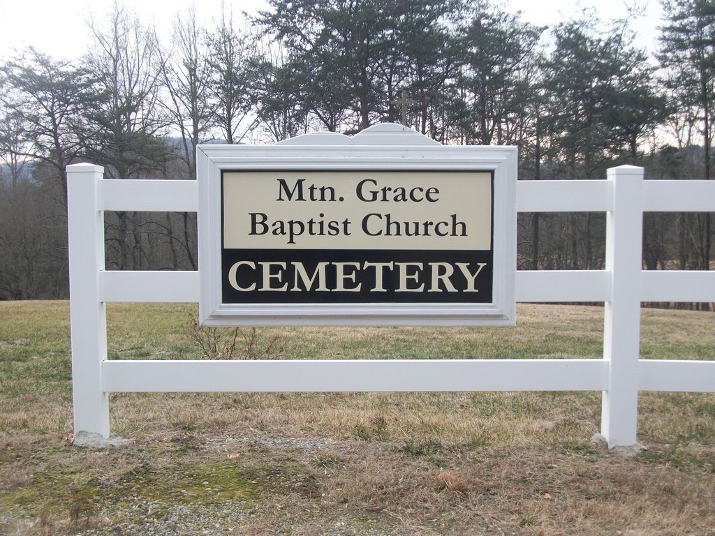
| Description | : | The cemetery is located off of McDonald Road in Clay County, NC. They are about to build their church there as well. |
frequently asked questions (FAQ):
-
Where is Mountain Grace Baptist Church Cemetery?
Mountain Grace Baptist Church Cemetery is located at 1345 McDonald Road Hayesville, Clay County ,North Carolina , 28904USA.
-
Mountain Grace Baptist Church Cemetery cemetery's updated grave count on graveviews.com?
0 memorials
-
Where are the coordinates of the Mountain Grace Baptist Church Cemetery?
Latitude: 34.9896120
Longitude: -83.8373240
Nearby Cemetories:
1. Pilgrim Baptist Church Cemetery
Hayesville, Clay County, USA
Coordinate: 34.9911600, -83.8286900
2. Myers Chapel United Methodist Cemetery
Hayesville, Clay County, USA
Coordinate: 35.0023600, -83.8072400
3. Pine Grove Baptist Church Cemetery
Hayesville, Clay County, USA
Coordinate: 35.0165140, -83.8214940
4. Shady Grove Missionary Baptist Church Cemetery
Hayesville, Clay County, USA
Coordinate: 35.0126240, -83.8646970
5. McClure Cemetery
Clay County, USA
Coordinate: 35.0083008, -83.7988968
6. Mount Pisgah Baptist Church Cemetery
Hayesville, Clay County, USA
Coordinate: 34.9981260, -83.8813510
7. Barnard Cemetery
Hayesville, Clay County, USA
Coordinate: 35.0236015, -83.7941971
8. First United Methodist Church Cemetery
Hayesville, Clay County, USA
Coordinate: 35.0364800, -83.8185920
9. Hayesville Baptist-Presbyterian Cemetery
Hayesville, Clay County, USA
Coordinate: 35.0377490, -83.8199330
10. Rogers Cemetery
Hayesville, Clay County, USA
Coordinate: 35.0393830, -83.8200920
11. Episcopal Church of the Good Shepherd
Hayesville, Clay County, USA
Coordinate: 35.0340233, -83.7982178
12. Herbert Hills Cemetery
Hayesville, Clay County, USA
Coordinate: 35.0352450, -83.7990660
13. Good Shepherd Memorial Gardens
Hayesville, Clay County, USA
Coordinate: 35.0375320, -83.8017080
14. Bethel Missionary Baptist Church Cemetery
Hayesville, Clay County, USA
Coordinate: 35.0153900, -83.8997000
15. New Hope Baptist Church Cemetery
Hayesville, Clay County, USA
Coordinate: 35.0370950, -83.8766620
16. Oak Forest Cemetery
Hayesville, Clay County, USA
Coordinate: 35.0369500, -83.7934800
17. Philadelphia Baptist Church Cemetery
Hayesville, Clay County, USA
Coordinate: 35.0004500, -83.7616200
18. Grace Baptist Church Cemetery
Hayesville, Clay County, USA
Coordinate: 35.0368000, -83.8896000
19. Old Ledford Chapel Cemetery
Hayesville, Clay County, USA
Coordinate: 34.9978371, -83.7596817
20. Sweetwater United Methodist Church Cemetery
Hayesville, Clay County, USA
Coordinate: 35.0503300, -83.8818100
21. Ogden Cemetery
Warne, Clay County, USA
Coordinate: 35.0105100, -83.9248960
22. Ledford Chapel Methodist Cemetery
Hayesville, Clay County, USA
Coordinate: 35.0306015, -83.7572021
23. Ledford Family Cemetery
Hayesville, Clay County, USA
Coordinate: 35.0307230, -83.7572210
24. Meadow Grove Baptist Cemetery
Hayesville, Clay County, USA
Coordinate: 35.0655760, -83.8150200