
| Memorials | : | 69 |
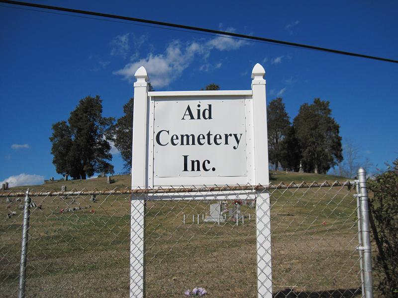
| Location | : | Aid, Lawrence County, USA |
| Coordinate | : | 38.6086006, -82.4886017 |
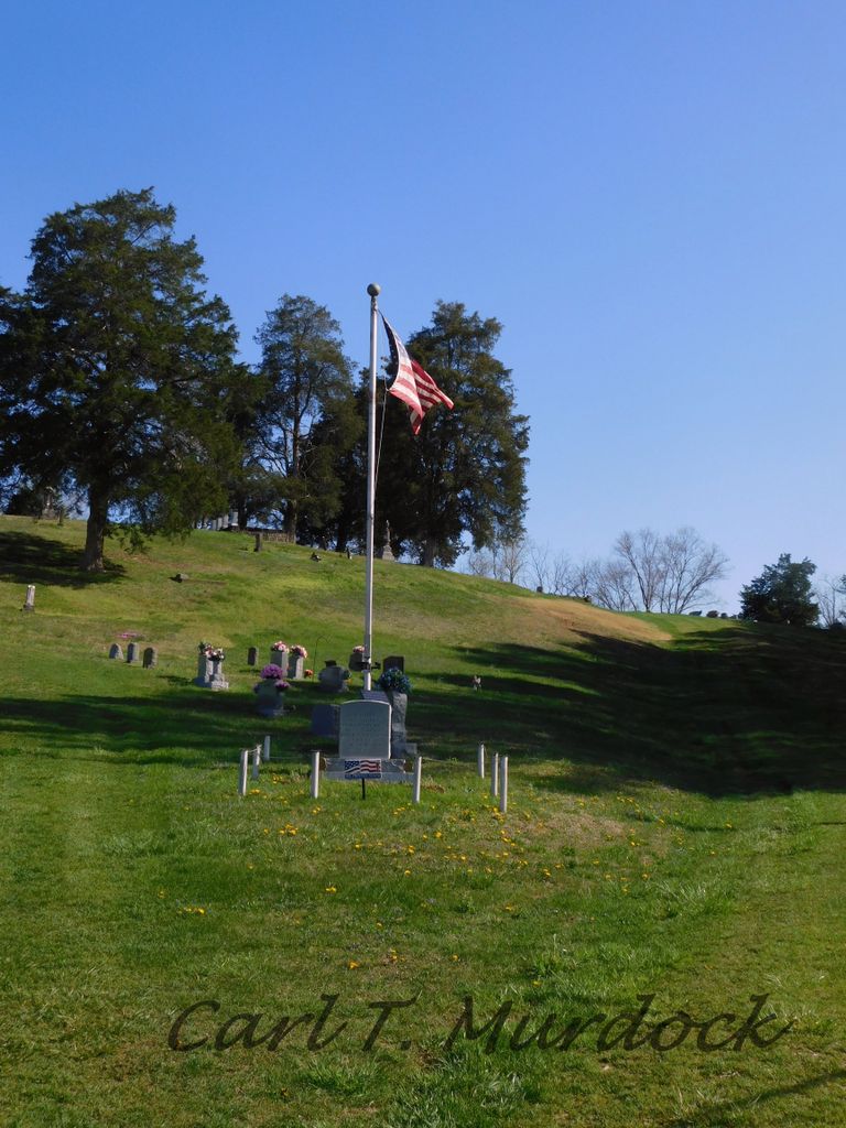
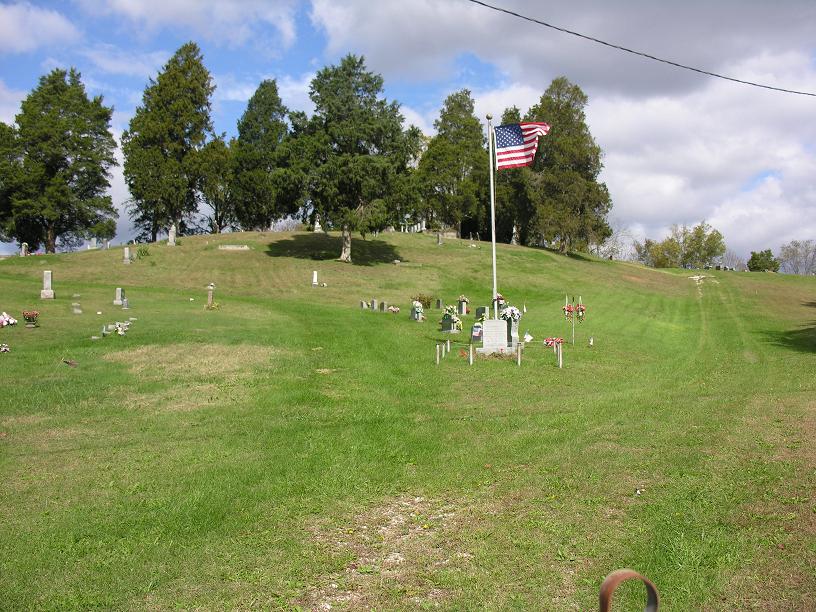
| Description | : | The cemetery is located on the north side of the junction of Ohio State Route 141 and Symmes Creek Road (County Road 8). The cemetery was established in 1864 and is 3 acres in size. The cemetery is located in Aid Township, Lawrence County, Ohio, and is # 6361 (Aid Cemetery / Marion Cemetery) in “Ohio Cemeteries 1803-2003”, compiled by the Ohio Genealogical Society. The cemetery is registered with the Ohio Division of Real Estate and Professional Licensing (ODRE) as Aid Cemetery with registration license number CRC.2015001385. The U.S. Geological Survey (USGS) Geographic Names Information System (GNIS) feature ID... Read More |
frequently asked questions (FAQ):
-
Where is Aid Cemetery?
Aid Cemetery is located at Ohio State Route 141 and Symmes Creek Road (County Road 8) Aid, Lawrence County ,Ohio , 45645USA.
-
Aid Cemetery cemetery's updated grave count on graveviews.com?
64 memorials
-
Where are the coordinates of the Aid Cemetery?
Latitude: 38.6086006
Longitude: -82.4886017
Nearby Cemetories:
1. Russell Cemetery
Lawrence County, USA
Coordinate: 38.6128006, -82.5175018
2. Rankin Cemetery
Aid Township, Lawrence County, USA
Coordinate: 38.6380997, -82.4918976
3. Nelson Cemetery
Arabia, Lawrence County, USA
Coordinate: 38.6377983, -82.5061035
4. Bald Knob Cemetery
Lawrence Township, Lawrence County, USA
Coordinate: 38.5744019, -82.5186005
5. Lodge Ridge Cemetery
Kitts Hill, Lawrence County, USA
Coordinate: 38.5936012, -82.5393982
6. Lambert Cemetery
Aid Township, Lawrence County, USA
Coordinate: 38.6525230, -82.4913240
7. Murnaham Cemetery
Windsor Township, Lawrence County, USA
Coordinate: 38.5671997, -82.4674988
8. Bradshaw Cemetery #2
Arabia, Lawrence County, USA
Coordinate: 38.6550970, -82.4887380
9. Boggs Cemetery
Aid Township, Lawrence County, USA
Coordinate: 38.6464005, -82.5261002
10. Bradshaw Cemetery
Arabia, Lawrence County, USA
Coordinate: 38.6568370, -82.4854510
11. Leach Cemetery
Lawrence Township, Lawrence County, USA
Coordinate: 38.5819016, -82.5410995
12. Corn Family Cemetery
Kitts Hill, Lawrence County, USA
Coordinate: 38.5749360, -82.5360180
13. Allen Cemetery
Mason Township, Lawrence County, USA
Coordinate: 38.6443310, -82.4417590
14. Linnville Lutheran Cemetery
Linnville, Lawrence County, USA
Coordinate: 38.5570400, -82.4807600
15. Barnett Cemetery
Aid Township, Lawrence County, USA
Coordinate: 38.6278000, -82.5522003
16. Fradd Cemetery
Lawrence County, USA
Coordinate: 38.5957985, -82.5558014
17. Ross Cemetery
Andis, Lawrence County, USA
Coordinate: 38.5569000, -82.5139008
18. Jenkins Cemetery #1
Kitts Hill, Lawrence County, USA
Coordinate: 38.5749160, -82.5469120
19. Payton Family Cemetery
Aid Township, Lawrence County, USA
Coordinate: 38.6663500, -82.4996000
20. New Zion Cemetery
Greasy Ridge, Lawrence County, USA
Coordinate: 38.6086900, -82.4129300
21. Vermillion Cemetery
Arabia, Lawrence County, USA
Coordinate: 38.6677130, -82.4801330
22. Oakland Chapel Cemetery
Kitts Hill, Lawrence County, USA
Coordinate: 38.6018982, -82.5650024
23. Lewis Cemetery
Kitts Hill, Lawrence County, USA
Coordinate: 38.5656800, -82.5434600
24. Myrtle Ridge Cemetery
Kitts Hill, Lawrence County, USA
Coordinate: 38.5509100, -82.5143200