
| Memorials | : | 0 |
| Location | : | Cooper County, USA |
| Coordinate | : | 38.8990990, -92.5782040 |
frequently asked questions (FAQ):
-
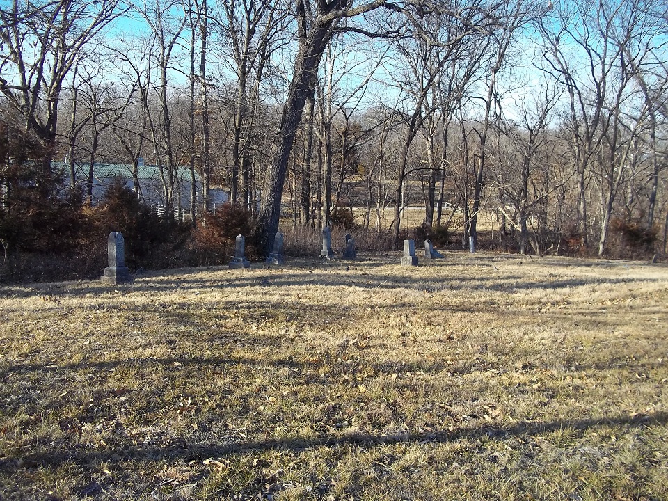
Where is New Salem Missionary Baptist Church Cemetery?
New Salem Missionary Baptist Church Cemetery is located at Cooper County ,Missouri , 65068USA.
-
New Salem Missionary Baptist Church Cemetery cemetery's updated grave count on graveviews.com?
0 memorials
-
Where are the coordinates of the New Salem Missionary Baptist Church Cemetery?
Latitude: 38.8990990
Longitude: -92.5782040
Nearby Cemetories:
1. Goochs Mill Baptist Church Cemetery
Boonville, Cooper County, USA
Coordinate: 38.9002890, -92.5777260
2. Shipley - Morrow Cemetery
Boonville, Cooper County, USA
Coordinate: 38.8973710, -92.6152590
3. Pleasant Grove Lutheran Cemetery
Wooldridge, Cooper County, USA
Coordinate: 38.8693300, -92.5518200
4. Clayton Cemetery
Overton, Cooper County, USA
Coordinate: 38.9427986, -92.5744019
5. Wooldridge Cemetery
Wooldridge, Cooper County, USA
Coordinate: 38.9086000, -92.5228850
6. Saint Peters Evangelical and Reformed Church Cemet
Prairie Home, Cooper County, USA
Coordinate: 38.8505710, -92.5577550
7. Schmidt Cemetery
Wooldridge, Cooper County, USA
Coordinate: 38.9500008, -92.6046982
8. Walnut Grove Church Cemetery
Cooper County, USA
Coordinate: 38.8716480, -92.6421770
9. Copps Chapel Cemetery
Moniteau County, USA
Coordinate: 38.8838100, -92.5042500
10. Providence Baptist Church Cemetery
Prairie Home, Cooper County, USA
Coordinate: 38.8405991, -92.5950012
11. Robison Cemetery
Prairie Home, Cooper County, USA
Coordinate: 38.8335991, -92.5742035
12. New Salem Cemetery
Prairie Home, Cooper County, USA
Coordinate: 38.8432999, -92.6267014
13. Yahweh's Assembly In Messiah Cemetery
Rocheport, Boone County, USA
Coordinate: 38.9611995, -92.5397969
14. Candy Court Cemetery
Prairie Home, Cooper County, USA
Coordinate: 38.8477200, -92.6385900
15. Pleasant Hill Missionary Baptist Church Cemetery
Clarks Fork, Cooper County, USA
Coordinate: 38.8720870, -92.6635600
16. Splice Creek Church Cemetery
Jamestown, Moniteau County, USA
Coordinate: 38.8377700, -92.5193500
17. Renfrow Family Cemetery
Lupus, Moniteau County, USA
Coordinate: 38.8469000, -92.5054800
18. Rocheport City Cemetery
Rocheport, Boone County, USA
Coordinate: 38.9809050, -92.5590420
19. Pettigrew Cemetery
Moniteau County, USA
Coordinate: 38.8643990, -92.4747009
20. Hill-Beatty Cemetery
Lupus, Moniteau County, USA
Coordinate: 38.8437800, -92.4897500
21. Green Acres Cemetery
Columbia, Boone County, USA
Coordinate: 38.9457300, -92.4732400
22. Trinity Lutheran Cemetery
Clarks Fork, Cooper County, USA
Coordinate: 38.8512540, -92.6827680
23. Mount Nebo Cemetery
Boone County, USA
Coordinate: 38.9239006, -92.4610977
24. Sugar Creek Cemetery
Huntsdale, Boone County, USA
Coordinate: 38.9455986, -92.4721985