
| Memorials | : | 1813 |
| Location | : | Ojai, Ventura County, USA |
| Coordinate | : | 34.4446600, -119.2604400 |
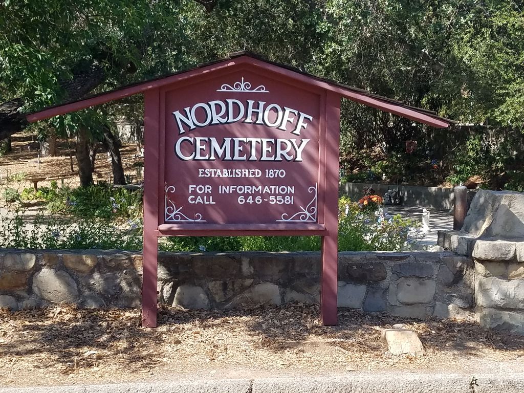
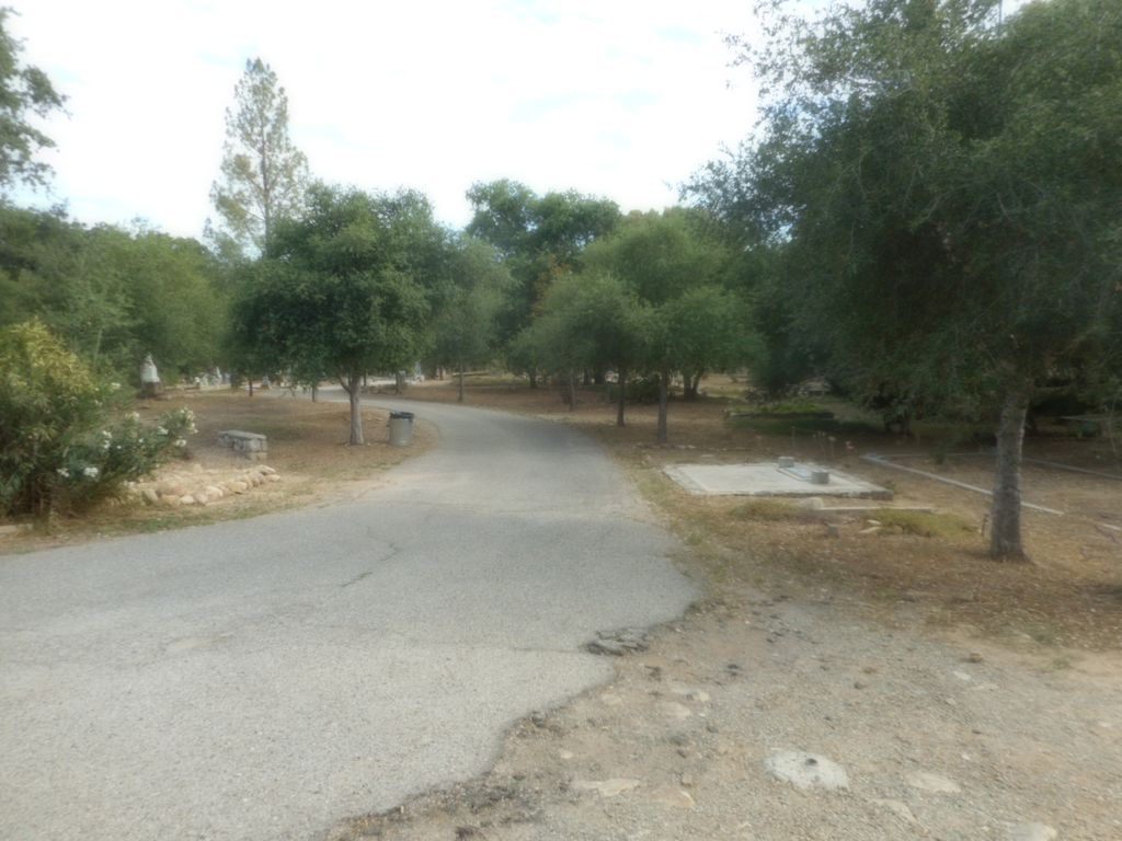
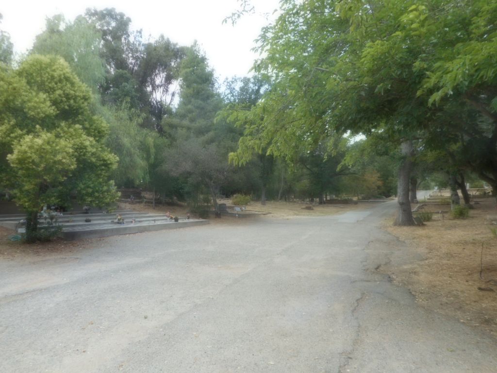
| Description | : | The Nordhoff Cemetery is owned and operated by the City of Ojai. It was founded in 1870 and taken over by the City in 1963. It is part of Ojai's history, dating back to the Civil War veterans who were buried at the turn of the century. |
frequently asked questions (FAQ):
-
Where is Nordhoff Cemetery?
Nordhoff Cemetery is located at Del Norte and Cuyama Roads Ojai, Ventura County ,California ,USA.
-
Nordhoff Cemetery cemetery's updated grave count on graveviews.com?
1213 memorials
-
Where are the coordinates of the Nordhoff Cemetery?
Latitude: 34.4446600
Longitude: -119.2604400


Nearby Cemetories:
1. Ojai United Methodist Memorial Garden
Ojai, Ventura County, USA
Coordinate: 34.4437040, -119.2665540
2. Saint Andrews Episcopal Church Columbarium
Ojai, Ventura County, USA
Coordinate: 34.4454300, -119.2513700
3. Ojai Presbyterian Church Columbarium
Ojai, Ventura County, USA
Coordinate: 34.4494250, -119.2530420
4. Saint Thomas Aquinas Cemetery
Ojai, Ventura County, USA
Coordinate: 34.4301250, -119.2650250
5. Cemetery Memorial Park
Ventura, Ventura County, USA
Coordinate: 34.2811900, -119.2800700
6. First United Methodist Church Ventura Columbarium
Ventura, Ventura County, USA
Coordinate: 34.2793589, -119.2819936
7. Mission San Buenaventura Cemetery
Ventura, Ventura County, USA
Coordinate: 34.2811890, -119.2982090
8. Trinity Lutheran Church Columbarium
Ventura, Ventura County, USA
Coordinate: 34.2772220, -119.2394440
9. Saint Pauls Episcopal Church Memorial Garden
Ventura, Ventura County, USA
Coordinate: 34.2759070, -119.2522820
10. Pierce Brothers Santa Paula Cemetery
Santa Paula, Ventura County, USA
Coordinate: 34.3535995, -119.0785980
11. Ferrer Family Ranch Grounds
Carpinteria, Santa Barbara County, USA
Coordinate: 34.3821940, -119.4812560
12. Ivy Lawn Memorial Park
Ventura, Ventura County, USA
Coordinate: 34.2518997, -119.2153015
13. Richardson Family Cemetery
Santa Paula, Ventura County, USA
Coordinate: 34.3437350, -119.0463940
14. Santa Clara Cemetery
Oxnard, Ventura County, USA
Coordinate: 34.2305984, -119.1821976
15. Carpinteria Cemetery
Carpinteria, Santa Barbara County, USA
Coordinate: 34.4118996, -119.5385971
16. In The Shadow Of The Cross Memorial Garden
Oxnard, Ventura County, USA
Coordinate: 34.2158818, -119.1807445
17. Mutaw Homestead Cemetery
Sespe, Ventura County, USA
Coordinate: 34.6425910, -119.0419940
18. Saint Columbas Episcopal Church Columbarium
Camarillo, Ventura County, USA
Coordinate: 34.2331850, -119.0554690
19. Saint Paul United Methodist Church Memorial Garden
Oxnard, Ventura County, USA
Coordinate: 34.1815060, -119.1806660
20. Montecito Cemetery
Montecito, Santa Barbara County, USA
Coordinate: 34.4363080, -119.5959850
21. Bardsdale Cemetery
Fillmore, Ventura County, USA
Coordinate: 34.3610992, -118.9403000
22. Bard Memorial
Port Hueneme, Ventura County, USA
Coordinate: 34.1565180, -119.1955080
23. Pleasant Valley Cemetery
Camarillo, Ventura County, USA
Coordinate: 34.2158480, -119.0373060
24. Camarillo Family Mausoleum
Camarillo, Ventura County, USA
Coordinate: 34.2151690, -119.0361310