
| Memorials | : | 2 |
| Location | : | Watauga County, USA |
| Coordinate | : | 36.2537800, -81.5871900 |
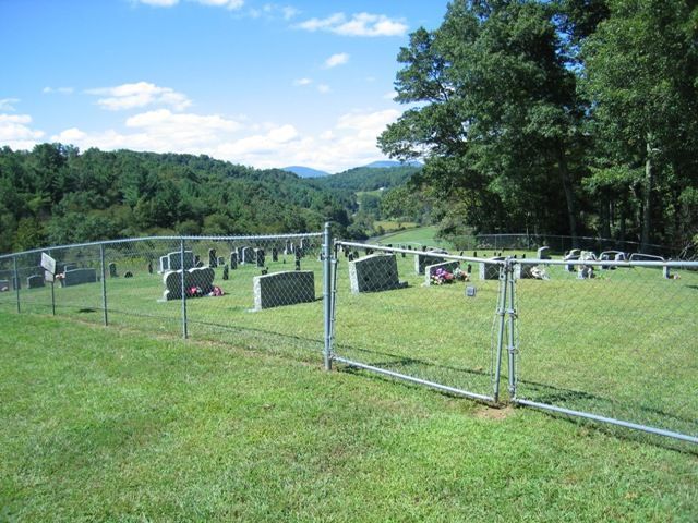
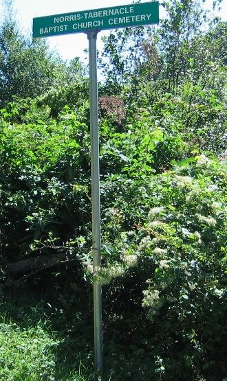
| Description | : | Cemetery was originally a Norris family cemetery. Taken over by Tabernacle Baptist Church and became Norris Tabernacle Baptist Church Cemetery. From Boone,NC take 194N to a right on Castle Ford Rd. Right at fork onto Ridge Rd. Left on Milton Moretz Rd. Right on Norris Tabernacle Baptist Church Cemetery Rd. Cemetery is easily visible on left near top of hill. As of Nov. 2011 all engraved markers have been photographed. |
frequently asked questions (FAQ):
-
Where is Norris Tabernacle Baptist Church Cemetery?
Norris Tabernacle Baptist Church Cemetery is located at Watauga County ,North Carolina ,USA.
-
Norris Tabernacle Baptist Church Cemetery cemetery's updated grave count on graveviews.com?
2 memorials
-
Where are the coordinates of the Norris Tabernacle Baptist Church Cemetery?
Latitude: 36.2537800
Longitude: -81.5871900

Nearby Cemetories:
1. Fairview Cemetery
Boone, Watauga County, USA
Coordinate: 36.2470600, -81.5867700
2. Phillips Family Cemetery
Watauga County, USA
Coordinate: 36.2654500, -81.5827100
3. Hardin Road Baptist Church Cemetery
Boone, Watauga County, USA
Coordinate: 36.2651240, -81.5754180
4. Castle Cemetery
Laxon, Watauga County, USA
Coordinate: 36.2688400, -81.5920500
5. Columbus Phillips Family Cemetery
Watauga County, USA
Coordinate: 36.2707800, -81.5808900
6. Moretz Greer Cemetery
Deep Gap, Watauga County, USA
Coordinate: 36.2681860, -81.5661740
7. Hardin-Day Cemetery
Boone, Watauga County, USA
Coordinate: 36.2390800, -81.5656800
8. Bethelview United Methodist Church Cemetery
Boone, Watauga County, USA
Coordinate: 36.2644400, -81.6130540
9. Pilot Mountain Baptist Church Cemetery
Watauga County, USA
Coordinate: 36.2790000, -81.5814000
10. Rutherwood Baptist Cemetery
Boone, Watauga County, USA
Coordinate: 36.2251920, -81.5967560
11. Rev Asa Brown Family Cemetery
Brownwood, Ashe County, USA
Coordinate: 36.2770100, -81.5568700
12. John Alexander Miller Family Cemetery
Watauga County, USA
Coordinate: 36.2613000, -81.5441400
13. Laurel Springs Cemetery
Deep Gap, Watauga County, USA
Coordinate: 36.2352300, -81.5484670
14. Cooper Cemetery
Ashe County, USA
Coordinate: 36.2724000, -81.5460500
15. Horton Cemetery
Watauga County, USA
Coordinate: 36.2374992, -81.6324997
16. Greene Cemetery
Watauga County, USA
Coordinate: 36.2557983, -81.6369019
17. Mount Pleasant Cemetery
Meat Camp, Watauga County, USA
Coordinate: 36.2836510, -81.6207790
18. Browns Chapel Cemetery
Watauga County, USA
Coordinate: 36.2147700, -81.6064300
19. Cranberry Methodist Church Cemetery
Brownwood, Ashe County, USA
Coordinate: 36.2702000, -81.5389900
20. Watson Cemetery
Brownwood, Ashe County, USA
Coordinate: 36.2662500, -81.5358500
21. Hodges Cemetery
Boone, Watauga County, USA
Coordinate: 36.2524986, -81.6436005
22. Idol Family Cemetery
Watauga County, USA
Coordinate: 36.2487380, -81.5300720
23. McGuire Cemetery
Watauga County, USA
Coordinate: 36.2989700, -81.6054200
24. Samuel Greer Family Cemetery
Laxon, Watauga County, USA
Coordinate: 36.2302700, -81.5353100