| Memorials | : | 0 |
| Location | : | Brownwood, Ashe County, USA |
| Coordinate | : | 36.2662500, -81.5358500 |
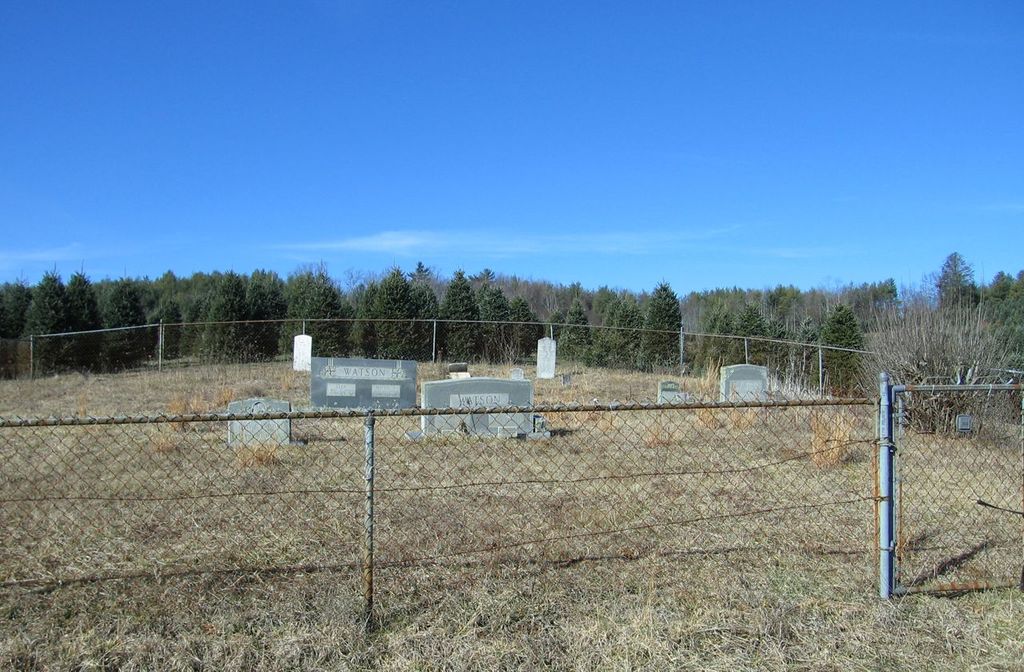
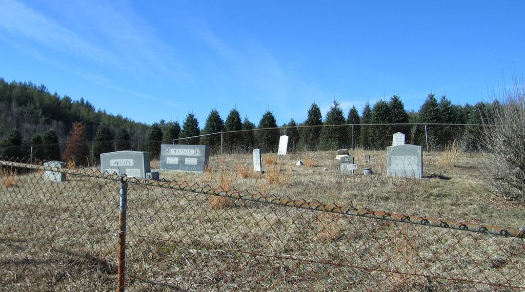
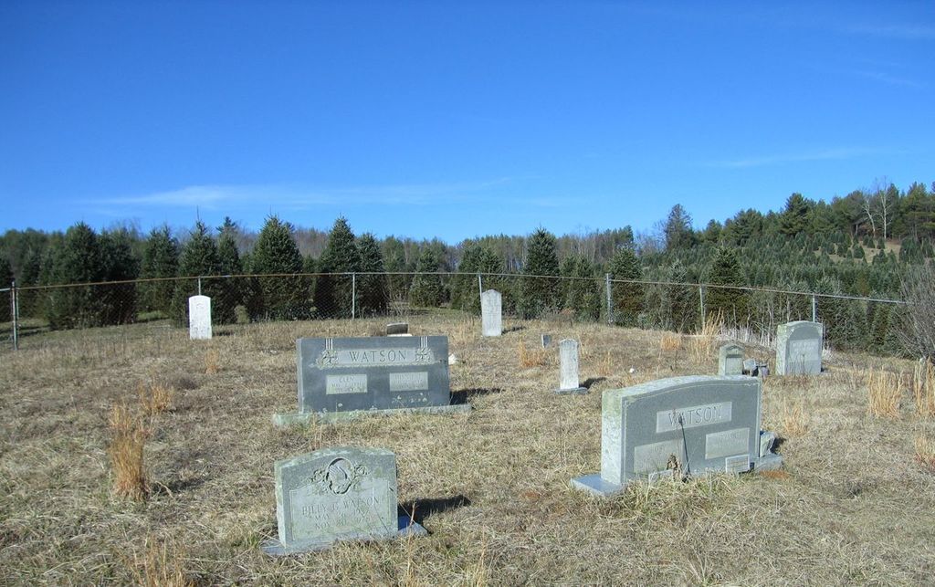
| Description | : | Also known as Trip Greene Cemetery. Cemetery is very close to the Watauga Co. line and several death certificates indicate it is in Watauga Co. Landowner (in 2012) and one TOPO map indicate it is in Ashe Co. Another TOPO map has it in Watauga Co. As of Feb., 2012 all engraved markers have been photographed. From Boone, NC take US421S. Turn left on Brownwood Rd. Right on Cranberry Springs Rd. Right on a dirt road with small wooden bridge to locked pasture/tree farm gate- just before a left turn to Liberty Grove Church. Cemetery is approximately 1/2 mile up pasture road on... Read More |
frequently asked questions (FAQ):
-
Where is Watson Cemetery?
Watson Cemetery is located at Brownwood, Ashe County ,North Carolina ,USA.
-
Watson Cemetery cemetery's updated grave count on graveviews.com?
0 memorials
-
Where are the coordinates of the Watson Cemetery?
Latitude: 36.2662500
Longitude: -81.5358500
Nearby Cemetories:
1. Cranberry Methodist Church Cemetery
Brownwood, Ashe County, USA
Coordinate: 36.2702000, -81.5389900
2. John Alexander Miller Family Cemetery
Watauga County, USA
Coordinate: 36.2613000, -81.5441400
3. Cooper Cemetery
Ashe County, USA
Coordinate: 36.2724000, -81.5460500
4. Waters Family Cemetery
Brownwood, Ashe County, USA
Coordinate: 36.2636000, -81.5180600
5. Greene Family Cemetery
Brownwood, Ashe County, USA
Coordinate: 36.2622900, -81.5168400
6. Idol Family Cemetery
Watauga County, USA
Coordinate: 36.2487380, -81.5300720
7. Rev Asa Brown Family Cemetery
Brownwood, Ashe County, USA
Coordinate: 36.2770100, -81.5568700
8. Moretz Greer Cemetery
Deep Gap, Watauga County, USA
Coordinate: 36.2681860, -81.5661740
9. Powers-Miller Family Cemetery
Brownwood, Ashe County, USA
Coordinate: 36.2614300, -81.5029600
10. Watson Family Cemetery
Deep Gap, Watauga County, USA
Coordinate: 36.2406300, -81.5244000
11. Trinity Baptist Church Cemetery
Deep Gap, Watauga County, USA
Coordinate: 36.2375060, -81.5277400
12. Old Gap Creek Church Cemetery
Boone, Watauga County, USA
Coordinate: 36.2504500, -81.5035500
13. Hardin Road Baptist Church Cemetery
Boone, Watauga County, USA
Coordinate: 36.2651240, -81.5754180
14. Laurel Springs Cemetery
Deep Gap, Watauga County, USA
Coordinate: 36.2352300, -81.5484670
15. Samuel Greer Family Cemetery
Laxon, Watauga County, USA
Coordinate: 36.2302700, -81.5353100
16. Hardin-Day Cemetery
Boone, Watauga County, USA
Coordinate: 36.2390800, -81.5656800
17. Columbus Phillips Family Cemetery
Watauga County, USA
Coordinate: 36.2707800, -81.5808900
18. Phillips Family Cemetery
Watauga County, USA
Coordinate: 36.2654500, -81.5827100
19. Pilot Mountain Baptist Church Cemetery
Watauga County, USA
Coordinate: 36.2790000, -81.5814000
20. Sanders Cemetery
Deep Gap, Watauga County, USA
Coordinate: 36.2263600, -81.5295800
21. Calvin Howell Family Cemetery
Ashe County, USA
Coordinate: 36.3014800, -81.5618000
22. Corner Stone Baptist Church Cemetery
Deep Gap, Watauga County, USA
Coordinate: 36.2231660, -81.5331350
23. Norris Tabernacle Baptist Church Cemetery
Watauga County, USA
Coordinate: 36.2537800, -81.5871900
24. Carroll Gap Cemetery
Deep Gap, Watauga County, USA
Coordinate: 36.2258200, -81.5147500


