
| Memorials | : | 29 |
| Location | : | Saint Olaf, Clayton County, USA |
| Coordinate | : | 42.9352798, -91.4302826 |
frequently asked questions (FAQ):
-
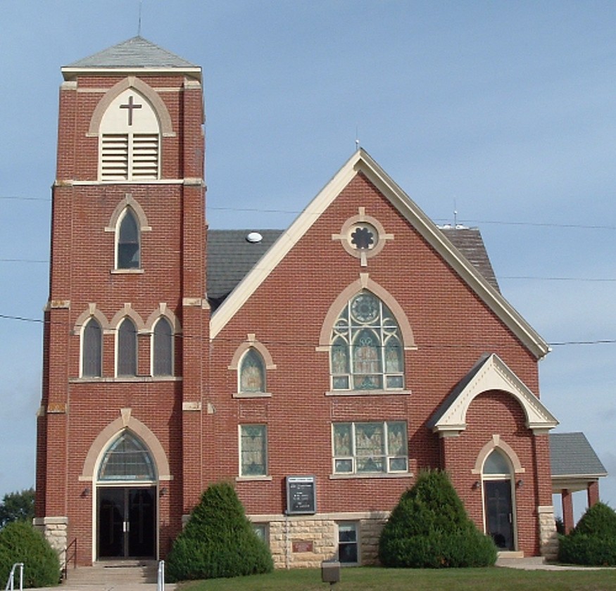
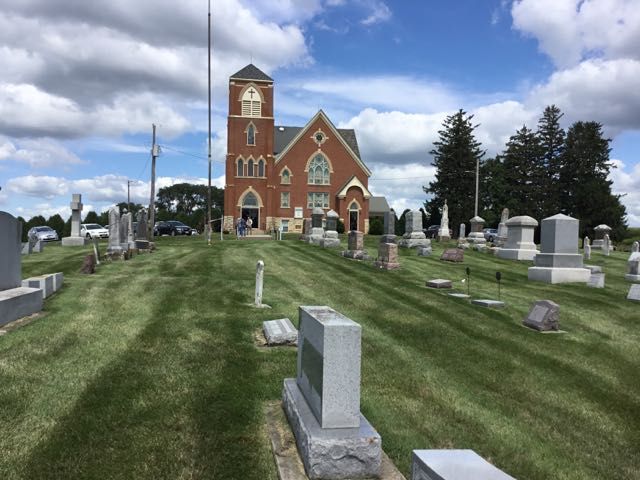
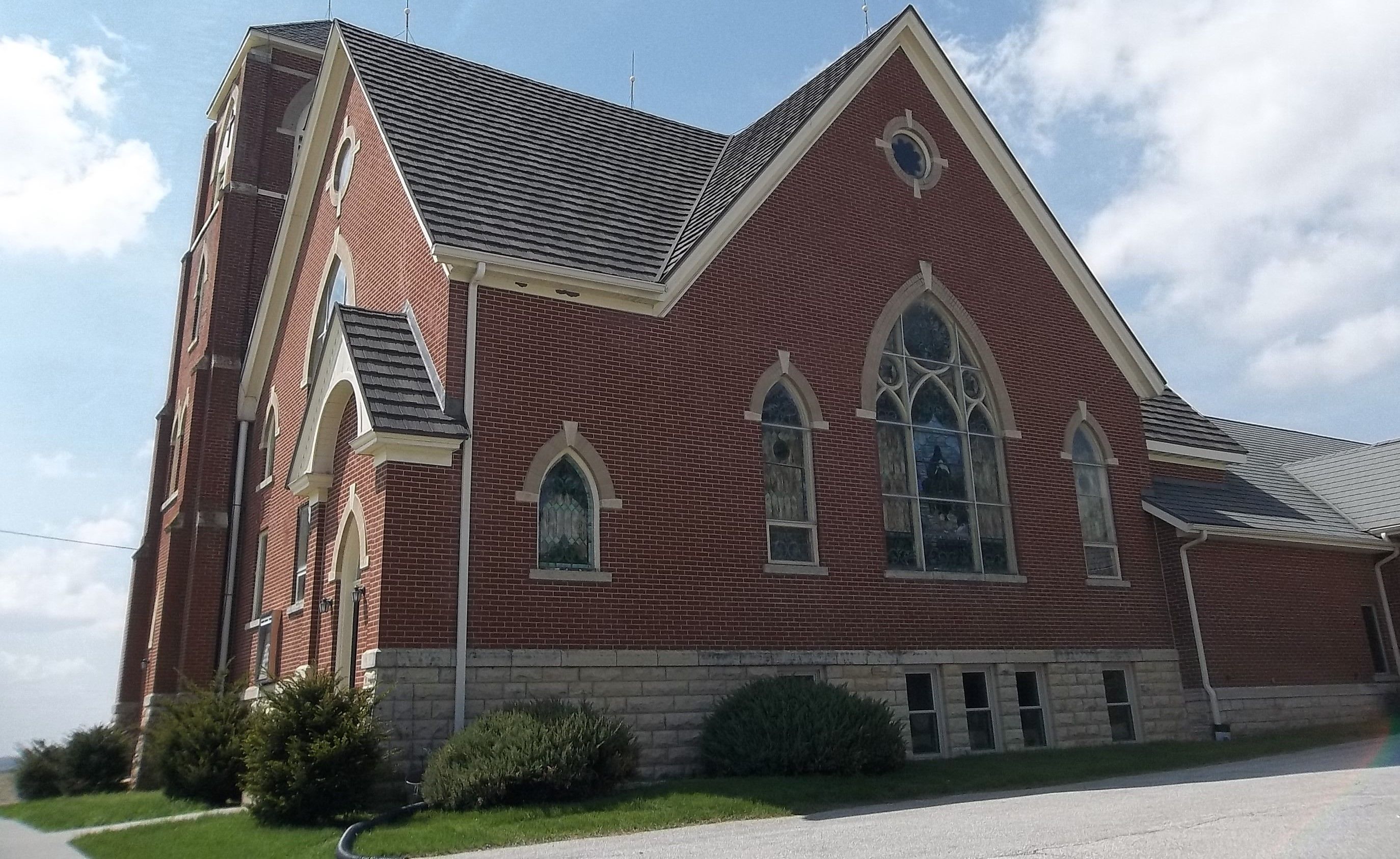
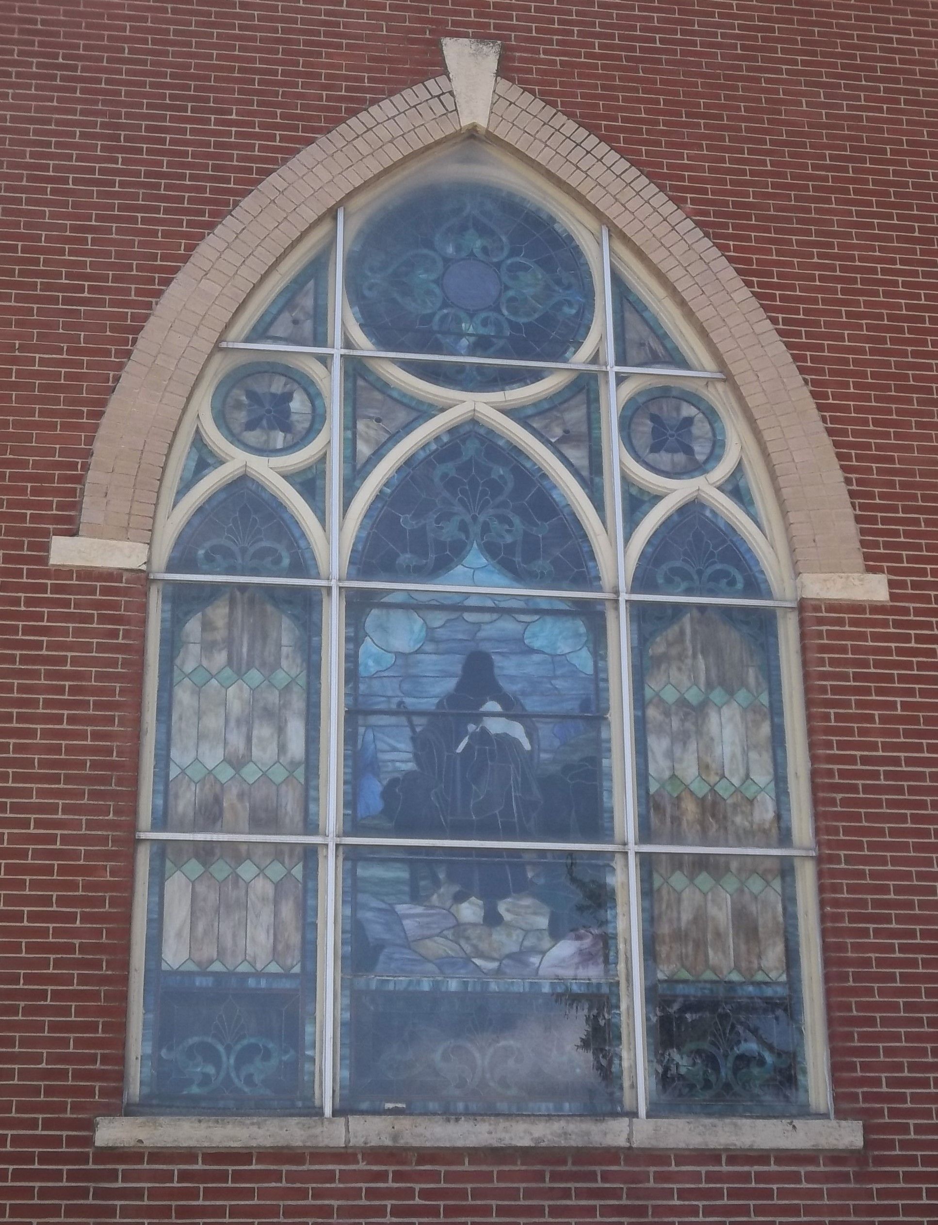
Where is Norway Lutheran Church Cemetery?
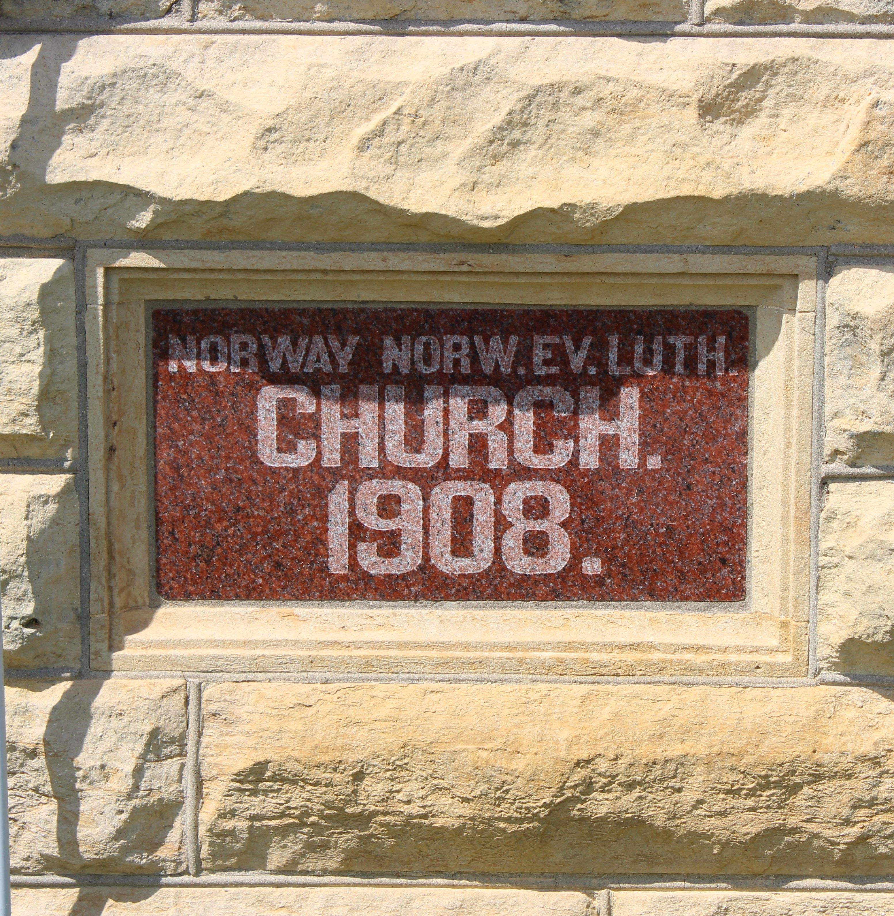
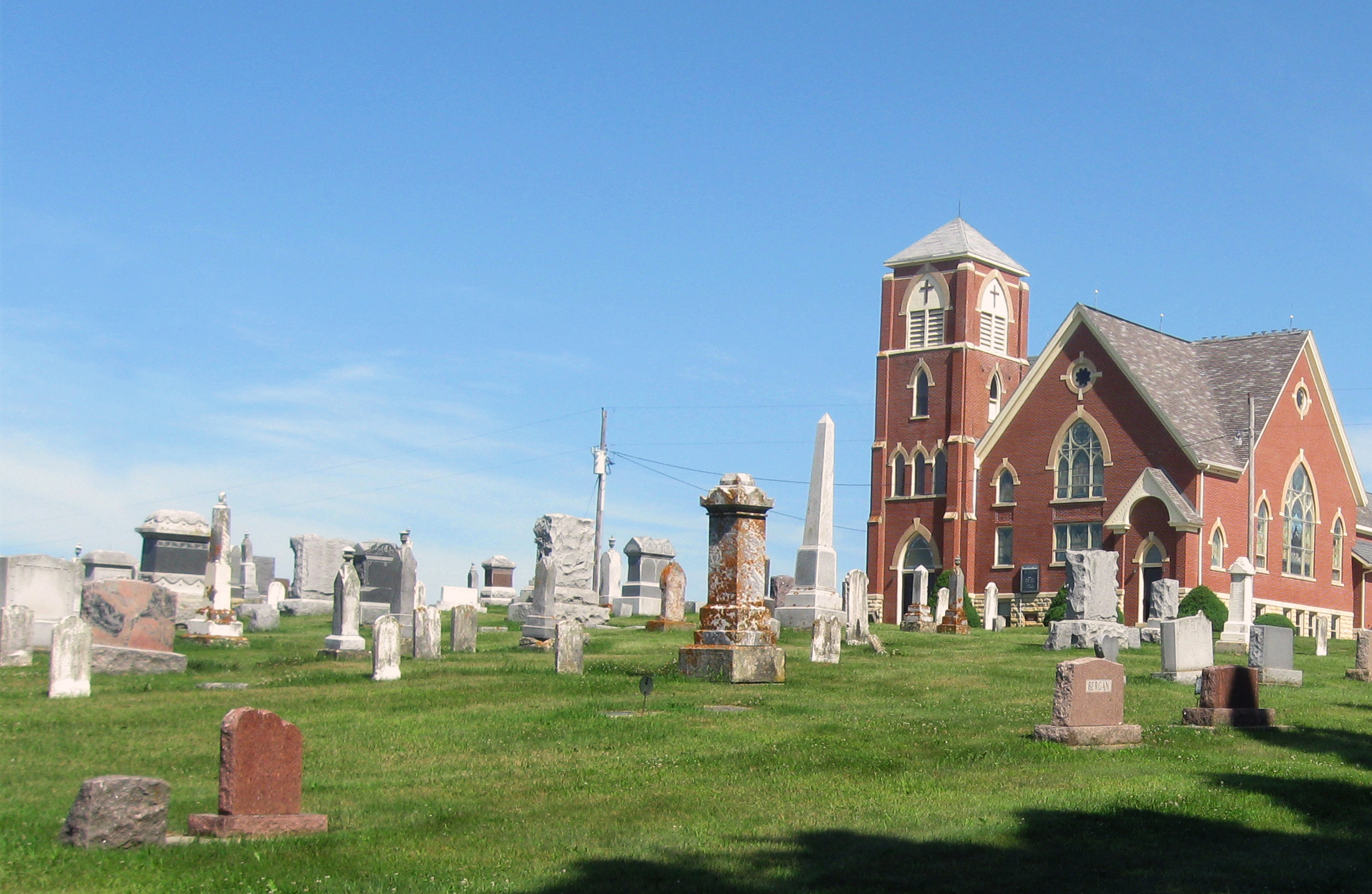
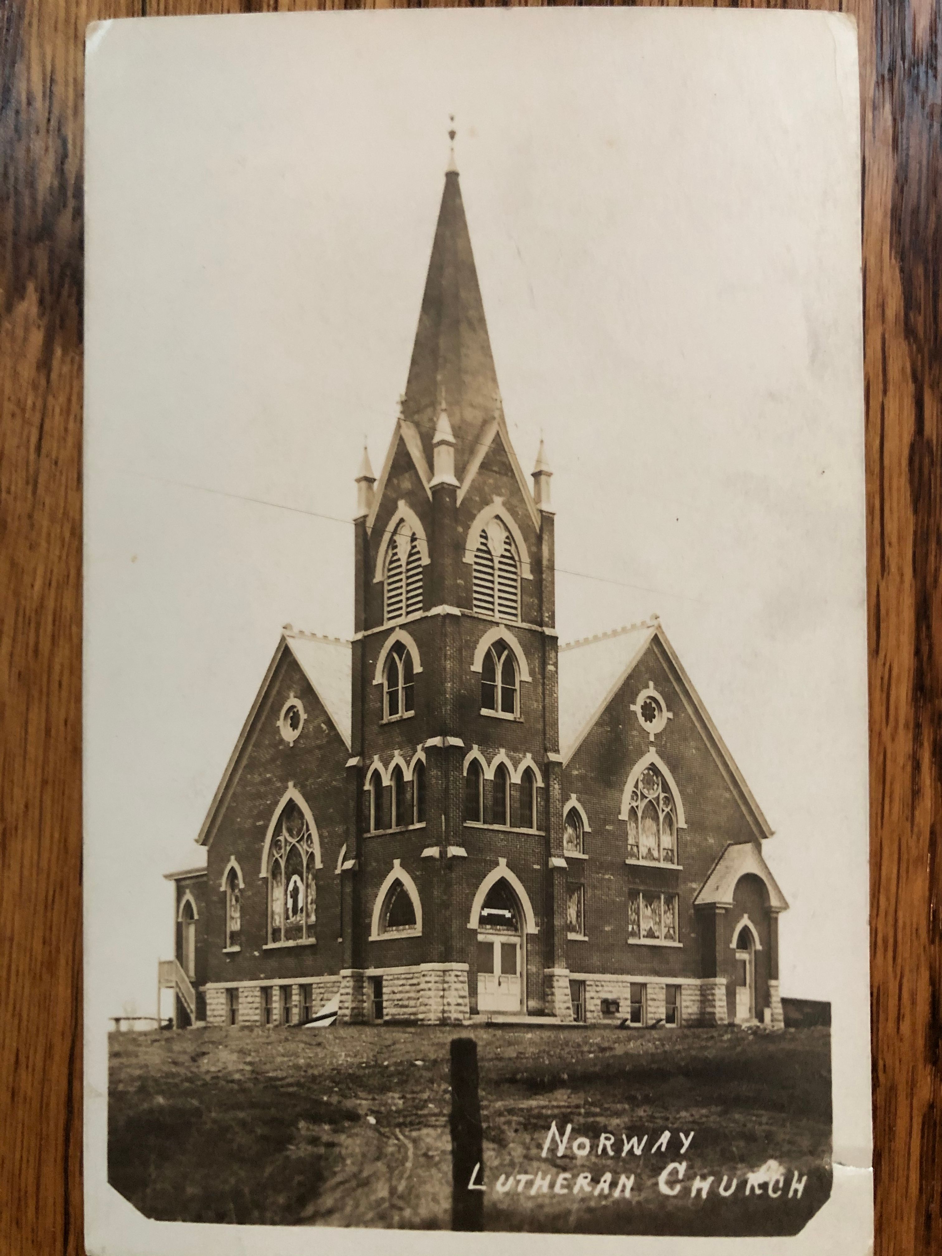
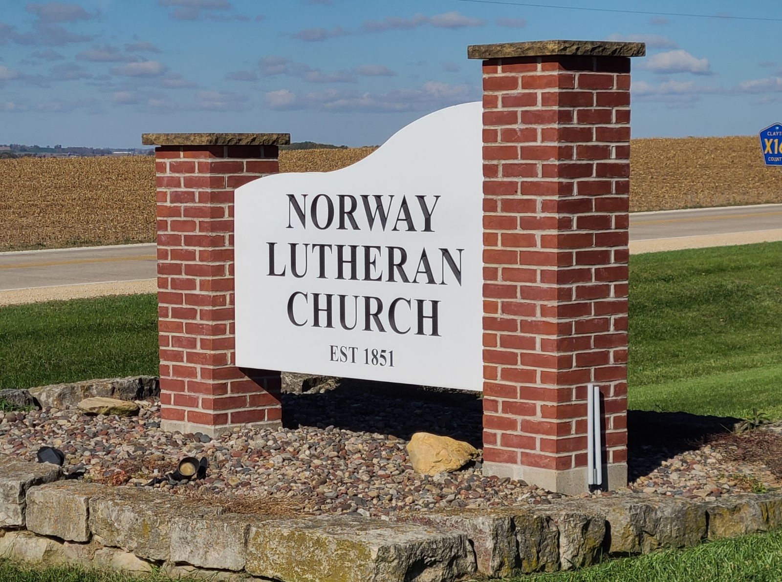
Norway Lutheran Church Cemetery is located at Saint Olaf, Clayton County ,Iowa ,USA.
-
Norway Lutheran Church Cemetery cemetery's updated grave count on graveviews.com?
29 memorials
-
Where are the coordinates of the Norway Lutheran Church Cemetery?
Latitude: 42.9352798
Longitude: -91.4302826
Nearby Cemetories:
1. Patterson Pioneer Cemetery
Saint Olaf, Clayton County, USA
Coordinate: 42.9216000, -91.4489000
2. Weymouth Cemetery
Saint Olaf, Clayton County, USA
Coordinate: 42.9278799, -91.4583559
3. Wagner Township Cemetery
Saint Olaf, Clayton County, USA
Coordinate: 42.9519386, -91.4513931
4. Clark Family Cemetery
Beulah, Clayton County, USA
Coordinate: 42.9166505, -91.4751415
5. Farmersburg-Wagner Cemetery
Farmersburg, Clayton County, USA
Coordinate: 42.9481010, -91.3700027
6. Gooding Cemetery
Wagner Township, Clayton County, USA
Coordinate: 42.9869490, -91.4191570
7. Cook Family Cemetery
Elkader, Clayton County, USA
Coordinate: 42.9209880, -91.5091230
8. Eno Cemetery
Wagner Township, Clayton County, USA
Coordinate: 42.9930992, -91.4693985
9. Marion Lutheran Cemetery
Gunder, Clayton County, USA
Coordinate: 42.9708290, -91.5127792
10. County Home Cemetery
Clayton Center, Clayton County, USA
Coordinate: 42.8916702, -91.3499985
11. Bismark Cemetery
Farmersburg, Clayton County, USA
Coordinate: 42.9790000, -91.3500000
12. Colony Catholic Cemetery (Defunct)
Read Township, Clayton County, USA
Coordinate: 42.8830000, -91.3580000
13. Pioneer Cemetery
Monona, Clayton County, USA
Coordinate: 43.0149994, -91.4274979
14. Highland Lutheran Cemetery
Highland Township, Clayton County, USA
Coordinate: 42.8987000, -91.5330000
15. Elkader Cemetery
Elkader, Clayton County, USA
Coordinate: 42.8541718, -91.4000015
16. Saint Josephs Cemetery
Elkader, Clayton County, USA
Coordinate: 42.8488998, -91.4021988
17. Zion Lutheran Cemetery
Clayton Center, Clayton County, USA
Coordinate: 42.8841705, -91.3249969
18. Clayton Center Cemetery
Clayton Center, Clayton County, USA
Coordinate: 42.8841705, -91.3225021
19. Houg Cemetery
Gunder, Clayton County, USA
Coordinate: 42.9444008, -91.5675964
20. Fry Family Cemetery
Farmersburg, Clayton County, USA
Coordinate: 43.0152530, -91.5182350
21. National Cemetery
National, Clayton County, USA
Coordinate: 42.9536018, -91.2902985
22. Giard Cemetery
Farmersburg, Clayton County, USA
Coordinate: 42.9933014, -91.3080978
23. Apostolic Cemetery
Marion Township, Clayton County, USA
Coordinate: 42.9347000, -91.5821991
24. Saint Paul Lutheran Cemetery
Monona, Clayton County, USA
Coordinate: 43.0494385, -91.3847198