
| Memorials | : | 0 |
| Location | : | Columbia, Boone County, USA |
| Coordinate | : | 39.0007320, -92.2985890 |
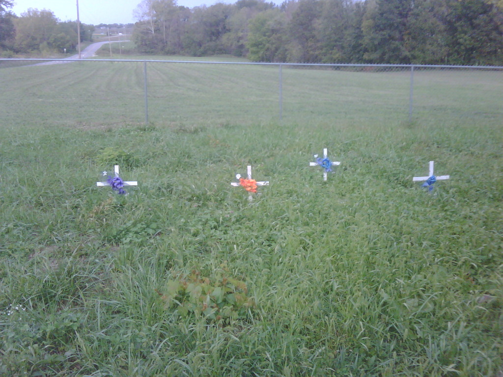
| Description | : | This cemetery was re-located several years ago to its current location at the SE edge of the Boone County Fairgrounds. The original location was essentially under the 'racetrack/arena'. My grandmother, who is the great-granddaughter of Allen O'Rear, accompanied the fair officials to the site and showed them were the 'slave section' was. All graves, including the slaves, were moved to the new location. My great-grandmother told me a story once about this cemetery that is quite interesting. During the Civil War, Union soldiers were marching captive Confederate soldiers down Oakland Gravel Road and one of the soldiers... Read More |
frequently asked questions (FAQ):
-
Where is O'Rear Family Cemetery?
O'Rear Family Cemetery is located at Starke Lane Columbia, Boone County ,Missouri , 65202USA.
-
O'Rear Family Cemetery cemetery's updated grave count on graveviews.com?
0 memorials
-
Where are the coordinates of the O'Rear Family Cemetery?
Latitude: 39.0007320
Longitude: -92.2985890
Nearby Cemetories:
1. Ariel Church Cemetery
Boone County, USA
Coordinate: 38.9872322, -92.3081589
2. Antioch Cemetery
Boone County, USA
Coordinate: 38.9852982, -92.2733002
3. Henry Family Cemetery
Columbia, Boone County, USA
Coordinate: 39.0113600, -92.2678300
4. Hinkson Creek Cemetery
Columbia, Boone County, USA
Coordinate: 38.9803009, -92.2750015
5. Oakland Church Cemetery
Columbia, Boone County, USA
Coordinate: 39.0299340, -92.2932260
6. Cave Family Cemetery
Boone County, USA
Coordinate: 38.9710210, -92.2933960
7. Toalson Family Cemetery
Boone County, USA
Coordinate: 39.0128817, -92.3409784
8. Creasy Springs Road Burial Ground
Columbia, Boone County, USA
Coordinate: 38.9976500, -92.3484230
9. Phillips Cemetery #2
Stephens, Boone County, USA
Coordinate: 39.0366448, -92.2633459
10. Memorial Park Cemetery
Columbia, Boone County, USA
Coordinate: 38.9696999, -92.3531036
11. Payton-Goodrich-Willis-Shock Cemetery
Columbia, Boone County, USA
Coordinate: 38.9727560, -92.3566530
12. Calvary Episcopal Church Columbarium
Columbia, Boone County, USA
Coordinate: 38.9499000, -92.3277800
13. Missouri United Methodist Memorial Prayer Garden
Columbia, Boone County, USA
Coordinate: 38.9491600, -92.3270700
14. Kinney Cemetery
Columbia, Boone County, USA
Coordinate: 38.9516660, -92.3342510
15. Mount Hope Baptist Cemetery
Columbia, Boone County, USA
Coordinate: 39.0222200, -92.2313300
16. Columbia Cemetery
Columbia, Boone County, USA
Coordinate: 38.9494019, -92.3364029
17. University of Missouri Quadrangle Memorial
Columbia, Boone County, USA
Coordinate: 38.9460900, -92.3288000
18. Mount Moriah Cemetery
Boone County, USA
Coordinate: 39.0409000, -92.2397000
19. Rocky Fork Baptist Church Cemetery
Hinton, Boone County, USA
Coordinate: 39.0536308, -92.3411484
20. Newman Center Columbarium
Columbia, Boone County, USA
Coordinate: 38.9432500, -92.3309800
21. Wade Cemetery
Hinton, Boone County, USA
Coordinate: 39.0648003, -92.3293686
22. Courtyard Memorial Garden
Columbia, Boone County, USA
Coordinate: 38.9418880, -92.3524030
23. Broadway Christian Church Memorial Garden
Columbia, Boone County, USA
Coordinate: 38.9558000, -92.3779200
24. Prairie Grove Baptist Cemetery
Shaw, Boone County, USA
Coordinate: 38.9743996, -92.2027969