
| Memorials | : | 0 |
| Location | : | Sand Cut, Conecuh County, USA |
| Coordinate | : | 31.2946790, -87.1328170 |
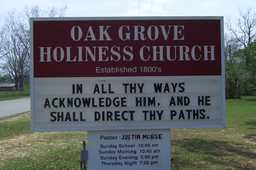
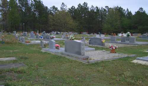
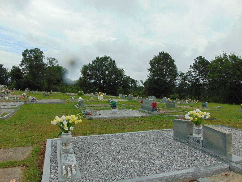
| Description | : | The Oak Grove Church and cemetery are located on Hwy-49 some 2.0 miles south-southwest of the Sandcut community, and 17.0 miles north-northeast of Brewton, or about 12 miles north-northwest of Castleberry at R.9.E, T.4.N, Section 23, Conecuh County, Alabama. The cemetery was last surveyed by Darryl Searcy on March 28, 2011. To reach this location from Brewton take Hwy-49 (Appleton Road) and continue for about 17 miles. The church and cemetery will be on the right at the top of Hogs Spring Hill. To reach this location from Castleberry, take Hwy-6 and continue for about 12 miles to... Read More |
frequently asked questions (FAQ):
-
Where is Oak Grove Holiness Church Cemetery?
Oak Grove Holiness Church Cemetery is located at Hwy 49/Appleton Road Sand Cut, Conecuh County ,Alabama , 36432USA.
-
Oak Grove Holiness Church Cemetery cemetery's updated grave count on graveviews.com?
0 memorials
-
Where are the coordinates of the Oak Grove Holiness Church Cemetery?
Latitude: 31.2946790
Longitude: -87.1328170
Nearby Cemetories:
1. Battle Branch Creek Cemetery
Conecuh County, USA
Coordinate: 31.3082716, -87.1516490
2. Glory Hill Holiness Church Cemetery
Brewton, Escambia County, USA
Coordinate: 31.2656030, -87.1279120
3. New Hopewell Baptist Church Cemetery
Castleberry, Conecuh County, USA
Coordinate: 31.2752991, -87.1622009
4. Brushy Creek Methodist Church Cemetery
Conecuh County, USA
Coordinate: 31.3067520, -87.1758750
5. London Cemetery
London, Conecuh County, USA
Coordinate: 31.2964001, -87.0832977
6. Ramah Primitive Baptist Church Cemetery
Lenox, Conecuh County, USA
Coordinate: 31.3302994, -87.1791992
7. Cooper Cemetery
Appleton, Escambia County, USA
Coordinate: 31.2416992, -87.1466980
8. Smith Family Cemetery
Appleton, Escambia County, USA
Coordinate: 31.2453420, -87.1682360
9. Lee Family Cemetery
Range, Conecuh County, USA
Coordinate: 31.2823520, -87.2086800
10. Baggetts Chapel Cemetery
Conecuh County, USA
Coordinate: 31.3675003, -87.1296997
11. Calvary Mennonite Church Cemetery
Escambia County, USA
Coordinate: 31.2284270, -87.0948820
12. Buffington Cemetery
Castleberry, Conecuh County, USA
Coordinate: 31.2971992, -87.0330963
13. Smith Plantation Cemetery
Wallace, Escambia County, USA
Coordinate: 31.2418900, -87.2115820
14. Marietta Cemetery
Castleberry, Conecuh County, USA
Coordinate: 31.3183910, -87.0360170
15. Range Cemetery
Range, Conecuh County, USA
Coordinate: 31.3153000, -87.2316971
16. Hamden Ridge United Methodist Church Cemetery
Belleville, Conecuh County, USA
Coordinate: 31.3693400, -87.0805600
17. Hanberry Cemetery
Wallace, Escambia County, USA
Coordinate: 31.2164001, -87.1808014
18. Hartwood Methodist Church Cemetery
Conecuh County, USA
Coordinate: 31.3346996, -87.2316971
19. Springhill Methodist Church Cemetery
Conecuh County, USA
Coordinate: 31.3780994, -87.1825027
20. Holland Cemetery
Castleberry, Conecuh County, USA
Coordinate: 31.2872009, -87.0216980
21. Castleberry Grove Baptist Church Cemetery
Castleberry, Conecuh County, USA
Coordinate: 31.2726740, -87.0212490
22. Baggett Family Cemetery
Conecuh County, USA
Coordinate: 31.2792940, -87.0169770
23. Zion Hill Baptist Church Cemetery
Brewton, Escambia County, USA
Coordinate: 31.2171993, -87.0582962
24. Hammac Cemetery
Brewton, Escambia County, USA
Coordinate: 31.1893997, -87.1438980