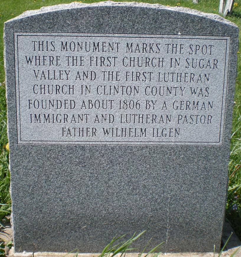
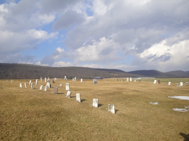
| Memorials | : | 0 |
| Location | : | Loganton, Clinton County, USA |
| Coordinate | : | 41.0219002, -77.3336029 |
frequently asked questions (FAQ):
-
Where is Old Schracktown Cemetery?
Old Schracktown Cemetery is located at Loganton, Clinton County ,Pennsylvania ,USA.
-
Old Schracktown Cemetery cemetery's updated grave count on graveviews.com?
0 memorials
-
Where are the coordinates of the Old Schracktown Cemetery?
Latitude: 41.0219002
Longitude: -77.3336029
Nearby Cemetories:
1. Saint Johns Evangelical Lutheran Cemetery
Booneville, Clinton County, USA
Coordinate: 41.0200000, -77.3590000
2. Esher Cemetery
Clinton County, USA
Coordinate: 41.0191000, -77.3595000
3. Trinity United Methodist Cemetery
Greenburr, Clinton County, USA
Coordinate: 41.0075000, -77.3543000
4. Emanuel Reformed Cemetery
Greenburr, Clinton County, USA
Coordinate: 41.0065000, -77.3530000
5. Saint Pauls Evangelical Lutheran Cemetery
Loganton, Clinton County, USA
Coordinate: 41.0337000, -77.3065000
6. Esh Sugar Valley Cemetery
Loganton, Clinton County, USA
Coordinate: 41.0157090, -77.3021390
7. Fairview Evangelical Cemetery
Loganton, Clinton County, USA
Coordinate: 41.0363998, -77.2983017
8. Saint Paul EUB Cemetery
Logan Mills, Clinton County, USA
Coordinate: 41.0023000, -77.3767000
9. Mount Pleasant Cemetery
Rosecrans, Clinton County, USA
Coordinate: 41.0612900, -77.3327900
10. Livonia Cemetery
Livonia, Centre County, USA
Coordinate: 40.9803000, -77.2983000
11. Brungart Cemetery
Centre County, USA
Coordinate: 40.9707000, -77.3445000
12. Saint Matthew Evangelical Lutheran Cemetery
Clinton County, USA
Coordinate: 41.0413000, -77.2611000
13. Old Wolf's Store Cemetery
Wolfs Store, Centre County, USA
Coordinate: 40.9606660, -77.3828290
14. Price Cemetery
Clinton County, USA
Coordinate: 41.0435982, -77.2427979
15. Mount Zion Cemetery
Loganton, Clinton County, USA
Coordinate: 41.0914000, -77.2955000
16. Tylersville Lutheran and Reformed Cemetery
Tylersville, Clinton County, USA
Coordinate: 40.9910000, -77.4258000
17. Tylersville Evangelical Cemetery
Tylersville, Clinton County, USA
Coordinate: 40.9913000, -77.4272000
18. Green Grove Cemetery
Carroll, Clinton County, USA
Coordinate: 41.0645000, -77.2411000
19. Snyder Cemetery
Mill Hall, Clinton County, USA
Coordinate: 41.0951000, -77.3840000
20. Tylersville Reformed Cemetery
Tylersville, Clinton County, USA
Coordinate: 40.9897003, -77.4347000
21. Church of Brethren Cemetery
Eastville, Clinton County, USA
Coordinate: 41.0350494, -77.2251740
22. East End Amish Cemetery
Clinton County, USA
Coordinate: 41.0701000, -77.4281000
23. Mount Union Cemetery
Carroll, Clinton County, USA
Coordinate: 41.0684000, -77.2210000
24. Parkman Mausoleum
Mackeyville, Clinton County, USA
Coordinate: 41.0380960, -77.4611740


