
| Memorials | : | 5 |
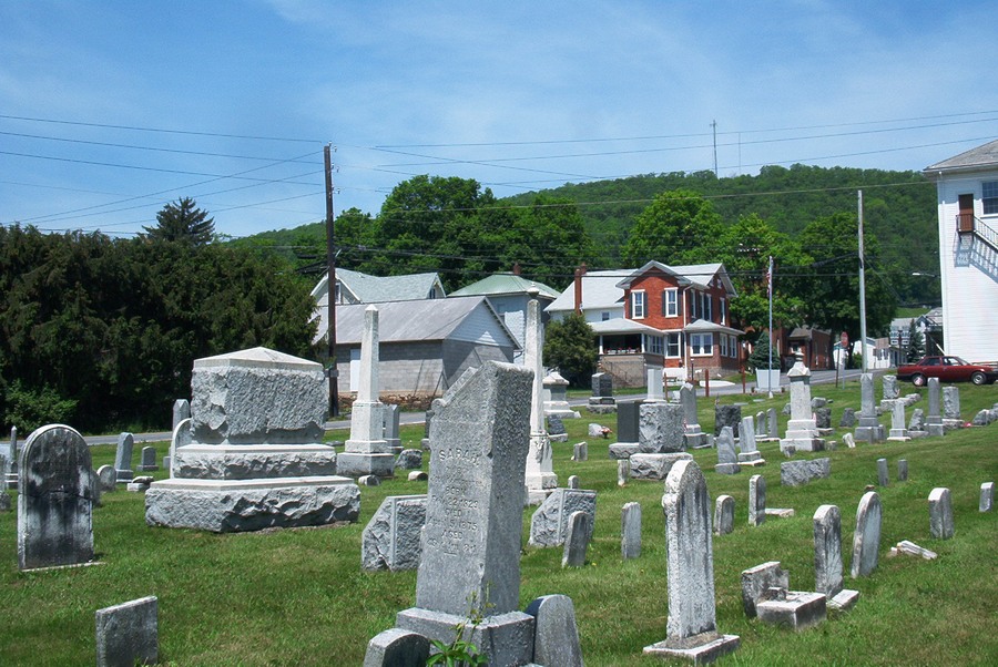
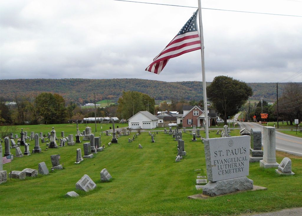
| Location | : | Loganton, Clinton County, USA |
| Coordinate | : | 41.0337000, -77.3065000 |
| Description | : | From the center of Loganton (the intersection of Routes 477 and 880), travel South on Route 477 for 0.1 mile. The cemetery is on your left. (It is, in fact, visible from the intersection of 477 and 880). Turn left in front of the cemetery on East South Street. There is a parking area here. |
frequently asked questions (FAQ):
-
Where is Saint Pauls Evangelical Lutheran Cemetery?
Saint Pauls Evangelical Lutheran Cemetery is located at Loganton, Clinton County ,Pennsylvania ,USA.
-
Saint Pauls Evangelical Lutheran Cemetery cemetery's updated grave count on graveviews.com?
4 memorials
-
Where are the coordinates of the Saint Pauls Evangelical Lutheran Cemetery?
Latitude: 41.0337000
Longitude: -77.3065000

Nearby Cemetories:
1. Fairview Evangelical Cemetery
Loganton, Clinton County, USA
Coordinate: 41.0363998, -77.2983017
2. Esh Sugar Valley Cemetery
Loganton, Clinton County, USA
Coordinate: 41.0157090, -77.3021390
3. Old Schracktown Cemetery
Loganton, Clinton County, USA
Coordinate: 41.0219002, -77.3336029
4. Mount Pleasant Cemetery
Rosecrans, Clinton County, USA
Coordinate: 41.0612900, -77.3327900
5. Saint Matthew Evangelical Lutheran Cemetery
Clinton County, USA
Coordinate: 41.0413000, -77.2611000
6. Saint Johns Evangelical Lutheran Cemetery
Booneville, Clinton County, USA
Coordinate: 41.0200000, -77.3590000
7. Esher Cemetery
Clinton County, USA
Coordinate: 41.0191000, -77.3595000
8. Emanuel Reformed Cemetery
Greenburr, Clinton County, USA
Coordinate: 41.0065000, -77.3530000
9. Trinity United Methodist Cemetery
Greenburr, Clinton County, USA
Coordinate: 41.0075000, -77.3543000
10. Price Cemetery
Clinton County, USA
Coordinate: 41.0435982, -77.2427979
11. Livonia Cemetery
Livonia, Centre County, USA
Coordinate: 40.9803000, -77.2983000
12. Green Grove Cemetery
Carroll, Clinton County, USA
Coordinate: 41.0645000, -77.2411000
13. Mount Zion Cemetery
Loganton, Clinton County, USA
Coordinate: 41.0914000, -77.2955000
14. Church of Brethren Cemetery
Eastville, Clinton County, USA
Coordinate: 41.0350494, -77.2251740
15. Saint Paul EUB Cemetery
Logan Mills, Clinton County, USA
Coordinate: 41.0023000, -77.3767000
16. Brungart Cemetery
Centre County, USA
Coordinate: 40.9707000, -77.3445000
17. Mount Union Cemetery
Carroll, Clinton County, USA
Coordinate: 41.0684000, -77.2210000
18. Snyder Cemetery
Mill Hall, Clinton County, USA
Coordinate: 41.0951000, -77.3840000
19. Old Wolf's Store Cemetery
Wolfs Store, Centre County, USA
Coordinate: 40.9606660, -77.3828290
20. East End Amish Cemetery
Clinton County, USA
Coordinate: 41.0701000, -77.4281000
21. Tylersville Lutheran and Reformed Cemetery
Tylersville, Clinton County, USA
Coordinate: 40.9910000, -77.4258000
22. Tylersville Evangelical Cemetery
Tylersville, Clinton County, USA
Coordinate: 40.9913000, -77.4272000
23. Tylersville Reformed Cemetery
Tylersville, Clinton County, USA
Coordinate: 40.9897003, -77.4347000
24. Gebhart Farm Cemetery
Clinton County, USA
Coordinate: 41.1345000, -77.2553000