| Memorials | : | 0 |
| Location | : | Stockbridge, Henry County, USA |
| Coordinate | : | 33.5425859, -84.2889050 |
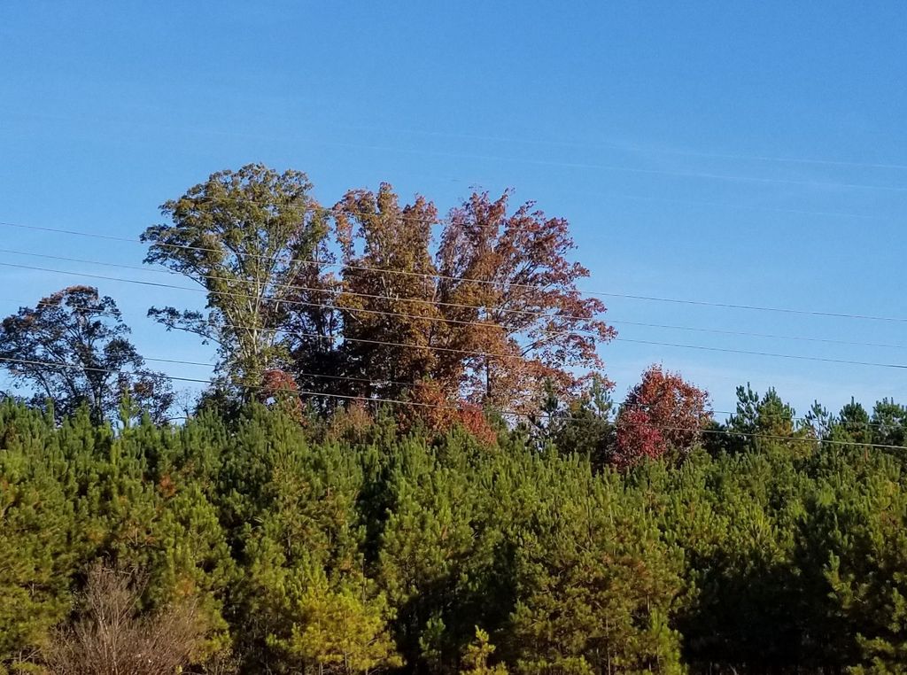
| Description | : | Old family cemetery at top of hill on posted land at clump of tall Oak trees. Consists of 5 sunken graves with headstones no writing. Any information about the history of these graves would be appreciated. Note: posted no trespassing, can't get to it. Remember it when I was a kid growing up in Stockbridge area. |
frequently asked questions (FAQ):
-
Where is Old Spivey Cemetery?
Old Spivey Cemetery is located at 1176 Hwy 138 Stockbridge, Henry County ,Georgia , 30281USA.
-
Old Spivey Cemetery cemetery's updated grave count on graveviews.com?
0 memorials
-
Where are the coordinates of the Old Spivey Cemetery?
Latitude: 33.5425859
Longitude: -84.2889050
Nearby Cemetories:
1. David James Family Cemetery
Henry County, USA
Coordinate: 33.5508842, -84.2703018
2. Allen Family Cemetery #1
Clayton County, USA
Coordinate: 33.5465000, -84.3103900
3. Red Oak UMC Cemetery
Stockbridge, Henry County, USA
Coordinate: 33.5254200, -84.2648850
4. Adamson Family Cemetery
Rex, Clayton County, USA
Coordinate: 33.5738340, -84.2902720
5. Mount Zion Cemetery
Morrow, Clayton County, USA
Coordinate: 33.5614014, -84.3214035
6. Camp Marker
Jonesboro, Clayton County, USA
Coordinate: 33.5214420, -84.3254220
7. Burks Cemetery
Stockbridge, Henry County, USA
Coordinate: 33.5454025, -84.2427368
8. Rocky Mount Baptist Church Cemetery
Rex, Clayton County, USA
Coordinate: 33.5754776, -84.2629013
9. Allen Family Cemetery #2
Clayton County, USA
Coordinate: 33.5090050, -84.3168370
10. Stockbridge First United Methodist Church Cemetery
Stockbridge, Henry County, USA
Coordinate: 33.5437813, -84.2389297
11. Rock Baptist Church Cemetery
Rex, Clayton County, USA
Coordinate: 33.5856018, -84.2910995
12. Noahs Ark Church Cemetery
Jonesboro, Clayton County, USA
Coordinate: 33.4986000, -84.2953033
13. Branan Family Cemetery
Henry County, USA
Coordinate: 33.5572014, -84.2358017
14. Cemetery Street
Stockbridge, Henry County, USA
Coordinate: 33.5373535, -84.2302017
15. Camp Family Cemetery
Jonesboro, Clayton County, USA
Coordinate: 33.5156010, -84.3386240
16. Jonesboro City Cemetery
Jonesboro, Clayton County, USA
Coordinate: 33.5299988, -84.3486023
17. Morrow Cemetery
Morrow, Clayton County, USA
Coordinate: 33.5774994, -84.3368988
18. Concord Cemetery
Stockbridge, Henry County, USA
Coordinate: 33.5744019, -84.2378006
19. Chapman-Morrow Cemetery
Jonesboro, Clayton County, USA
Coordinate: 33.5245740, -84.3495400
20. Stockbridge City Cemetery
Stockbridge, Henry County, USA
Coordinate: 33.5441200, -84.2230200
21. Confederate Cemetery
Clayton County, USA
Coordinate: 33.5303001, -84.3535995
22. Travelers Rest Missionary Baptist Church Cemetery
Morrow, Clayton County, USA
Coordinate: 33.5996640, -84.3197970
23. William's Chapel
Clayton County, USA
Coordinate: 33.5988930, -84.3255620
24. Claud Wood Family Cemetery
Stockbridge, Henry County, USA
Coordinate: 33.5089176, -84.2235013

