
| Memorials | : | 0 |
| Location | : | Clayton County, USA |
| Coordinate | : | 33.5988930, -84.3255620 |
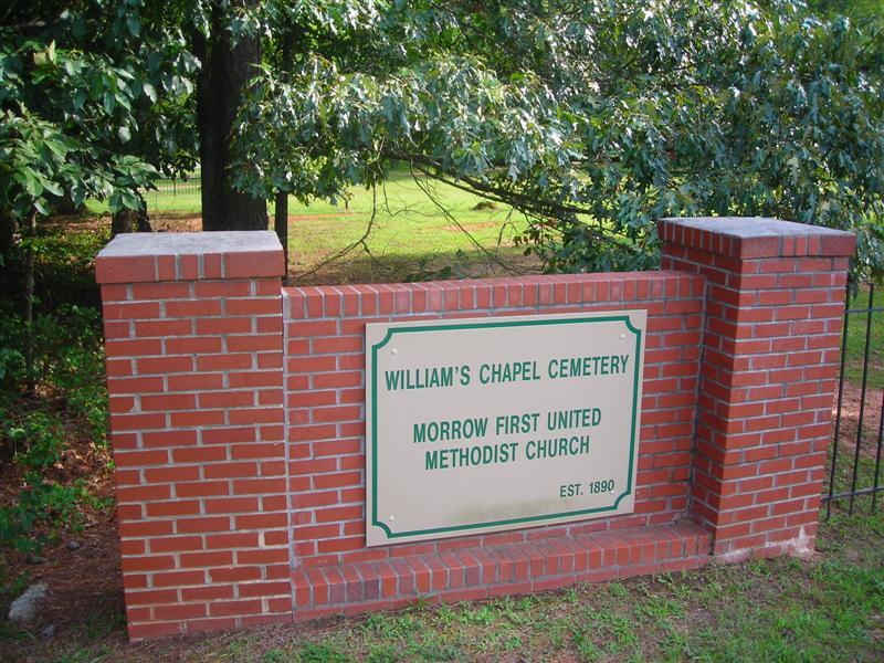
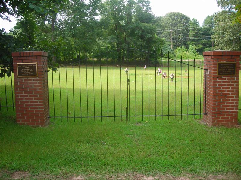
| Description | : | William's Chapel Cemetery is located just north of Clayton State College off of Highway 54 in Morrow. Going north on 54, turn right on Harper Drive, and right on Lee Street. Originally there was a Williams Chapel Methodist Episcopal Church built on these grounds, in 1870. According to "The History of Clayton County", it was named after William H. Morrow who died in 1868. In the 1930's, a brick building was built on Old Rex Morrow Road, and it was renamed Morrow Methodist Church. Rev. Allen was the pastor during construction. In 2000 the name was changed to Morrow First... Read More |
frequently asked questions (FAQ):
-
Where is William's Chapel?
William's Chapel is located at Clayton County ,Georgia ,USA.
-
William's Chapel cemetery's updated grave count on graveviews.com?
0 memorials
-
Where are the coordinates of the William's Chapel?
Latitude: 33.5988930
Longitude: -84.3255620
Nearby Cemetories:
1. Travelers Rest Missionary Baptist Church Cemetery
Morrow, Clayton County, USA
Coordinate: 33.5996640, -84.3197970
2. Mathalama AME Church Cemetery
Morrow, Clayton County, USA
Coordinate: 33.6031750, -84.3212440
3. Morrow Cemetery
Morrow, Clayton County, USA
Coordinate: 33.5774994, -84.3368988
4. Saint Augustine of Canterbury Episcopal Church Col
Morrow, Clayton County, USA
Coordinate: 33.5844150, -84.3504820
5. Rock Baptist Church Cemetery
Rex, Clayton County, USA
Coordinate: 33.5856018, -84.2910995
6. Forest Park Primitive Baptist Church Cemetery
Forest Park, Clayton County, USA
Coordinate: 33.6196230, -84.3568800
7. Forest Park City Cemetery
Forest Park, Clayton County, USA
Coordinate: 33.6193190, -84.3574260
8. Old Huie-Philadelphia Community Cemetery
Forest Park, Clayton County, USA
Coordinate: 33.5943350, -84.3663310
9. Forest Grove Cemetery
Forest Park, Clayton County, USA
Coordinate: 33.6231003, -84.3546982
10. Old Elam Primitive Baptist Church Cemetery
Forest Park, Clayton County, USA
Coordinate: 33.6271900, -84.3501500
11. Tanners Road Baptist Church Cemetery
Conley, Clayton County, USA
Coordinate: 33.6316986, -84.3110962
12. Mount Zion Cemetery
Morrow, Clayton County, USA
Coordinate: 33.5614014, -84.3214035
13. Adamson Family Cemetery
Rex, Clayton County, USA
Coordinate: 33.5738340, -84.2902720
14. Sylvester Baptist Church Cemetery
Ellenwood, Clayton County, USA
Coordinate: 33.6156006, -84.2827988
15. Philadelphia Presbyterian Church Cemetery
Forest Park, Clayton County, USA
Coordinate: 33.5900002, -84.3786011
16. Carver Memorial Gardens
Jonesboro, Clayton County, USA
Coordinate: 33.5797005, -84.3792038
17. Sherwood Memorial Park and Mausoleum
Jonesboro, Clayton County, USA
Coordinate: 33.5673300, -84.3718200
18. Partin Family Cemetery
Ellenwood, Clayton County, USA
Coordinate: 33.6170140, -84.2697720
19. Coffer Grove Baptist Church Cemetery
Clayton County, USA
Coordinate: 33.6450600, -84.2996180
20. Jones Memorial Cemetery
Forest Park, Clayton County, USA
Coordinate: 33.6204400, -84.3816900
21. Rock Springs Cemetery
Clayton County, USA
Coordinate: 33.6399994, -84.3656006
22. Forest Hills Memorial Gardens
Forest Park, Clayton County, USA
Coordinate: 33.6411110, -84.3641670
23. Allen Family Cemetery #1
Clayton County, USA
Coordinate: 33.5465000, -84.3103900
24. Rocky Mount Baptist Church Cemetery
Rex, Clayton County, USA
Coordinate: 33.5754776, -84.2629013