| Memorials | : | 0 |
| Location | : | Upton, West Somerset District, England |
| Coordinate | : | 51.0557770, -3.4563270 |
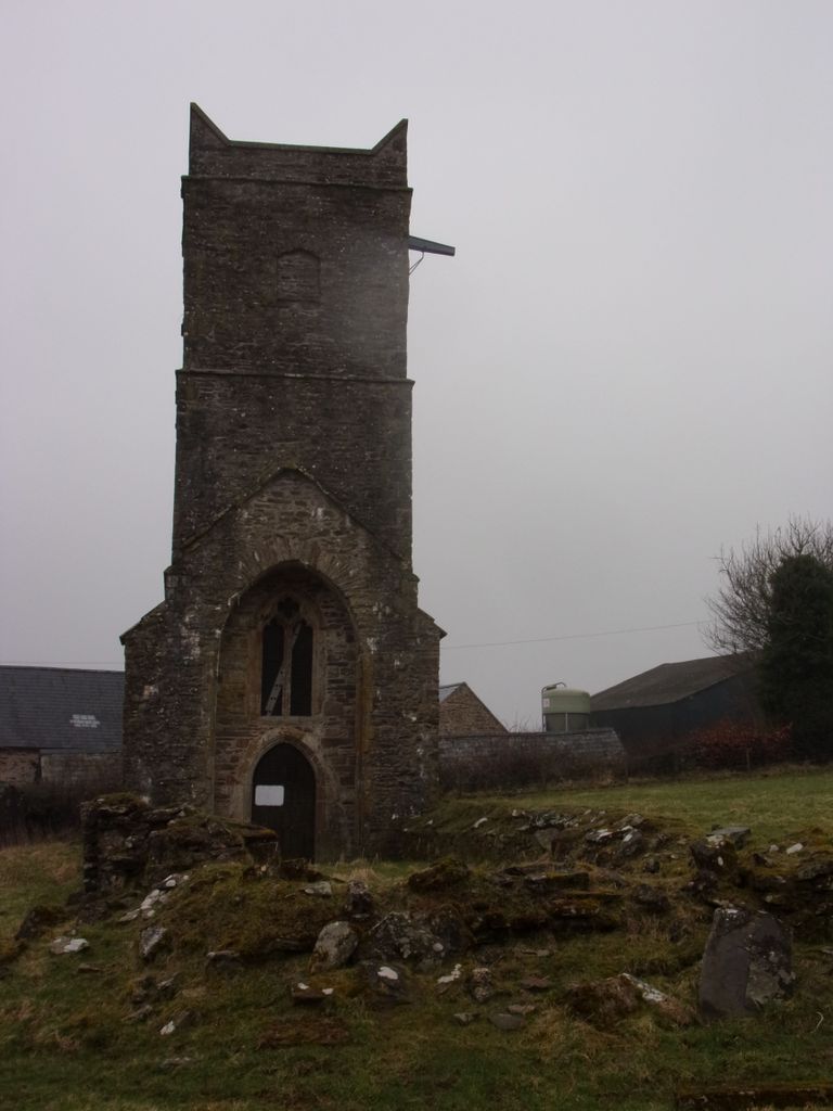
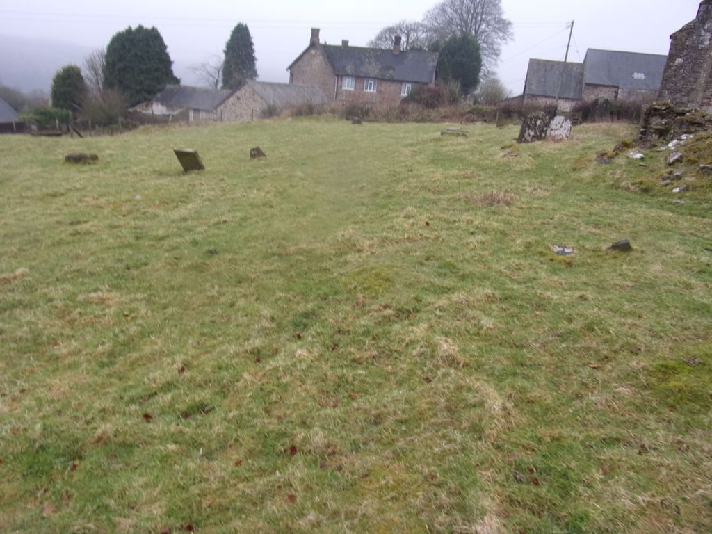
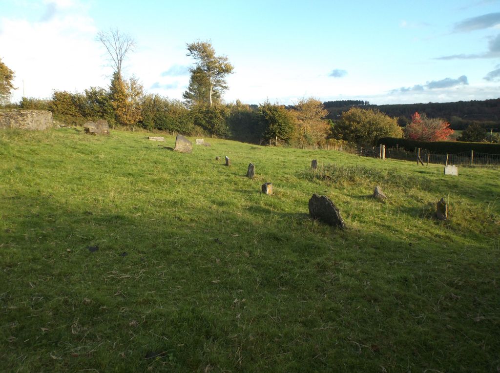
| Description | : | Also known as Upton Tower or St. James' Tower the body of this c14th century Church, that overlooks Wimbleball Lake, was pulled down in 1891, leaving only the West Tower and lowest courses of the nave and chancel. The restored tower is a Grade II listed building with historical carvings of architectural interest, but has no access to the interior of it. A painted inscription is inside recording the addition of seating in 1793. Bells from the Church are in use at Pitney and, cast by Roger Semson c1550, at Green Point N.S.W. Australia. The grave... Read More |
frequently asked questions (FAQ):
-
Where is Old St. James's Churchyard?
Old St. James's Churchyard is located at Upton Farm, Eastmoor Lane Upton, West Somerset District ,Somerset , TA4 2JGEngland.
-
Old St. James's Churchyard cemetery's updated grave count on graveviews.com?
0 memorials
-
Where are the coordinates of the Old St. James's Churchyard?
Latitude: 51.0557770
Longitude: -3.4563270
Nearby Cemetories:
1. St. James's Churchyard
Upton, West Somerset District, England
Coordinate: 51.0507060, -3.4341540
2. Saint John the Baptist Churchyard
Skilgate, West Somerset District, England
Coordinate: 51.0355480, -3.4462360
3. The Blessed Virgin Mary Churchyard
Brompton Regis, West Somerset District, England
Coordinate: 51.0731500, -3.4987200
4. St Mary Magdalene Churchyard
Withiel Florey, West Somerset District, England
Coordinate: 51.0906773, -3.4478871
5. St. George's Churchyard
Morebath, Mid Devon District, England
Coordinate: 51.0150600, -3.4922100
6. St. Michael’s Churchyard
Chipstable, Taunton Deane Borough, England
Coordinate: 51.0251300, -3.3982400
7. Dulverton Cemetery
Dulverton, West Somerset District, England
Coordinate: 51.0391963, -3.5379907
8. All Saints Cemetery
Chipstable, Taunton Deane Borough, England
Coordinate: 51.0354480, -3.3665950
9. All Saints Churchyard
Dulverton, West Somerset District, England
Coordinate: 51.0410700, -3.5496400
10. St Peter's Church Exton
Exton, West Somerset District, England
Coordinate: 51.0925840, -3.5352300
11. St. Peter's Churchyard Huish Champflower
Chipstable, Taunton Deane Borough, England
Coordinate: 51.0543700, -3.3580940
12. Dulverton Congregational Churchyard
Dulverton, West Somerset District, England
Coordinate: 51.0388932, -3.5516246
13. St. Nicholas Churchyard
Brushford, West Somerset District, England
Coordinate: 51.0207310, -3.5419430
14. Saint Mary Magdalene Churchyard
Clatworthy, West Somerset District, England
Coordinate: 51.0698450, -3.3534250
15. Treborough Parish Churchyard
Treborough, West Somerset District, England
Coordinate: 51.1180220, -3.4147610
16. St. Michael and All Angels
Bampton, Mid Devon District, England
Coordinate: 50.9899580, -3.4877800
17. Blesssed Virgin Mary Churchyard
Luxborough, West Somerset District, England
Coordinate: 51.1321490, -3.4680500
18. St. Giles Churchyard of Leighland
Old Cleeve, West Somerset District, England
Coordinate: 51.1199950, -3.3842729
19. All Saints Churchyard
Huntsham, Mid Devon District, England
Coordinate: 50.9748900, -3.4237800
20. Winsford Churchyard
Winsford, West Somerset District, England
Coordinate: 51.1038000, -3.5665000
21. St. Andrew's Churchyard
Wiveliscombe, Taunton Deane Borough, England
Coordinate: 51.0410630, -3.3096850
22. Blessed Virgin Mary Churchyard
Brompton Ralph, West Somerset District, England
Coordinate: 51.0830230, -3.3077060
23. St. John The Baptist Churchyard
Ashbrittle, Taunton Deane Borough, England
Coordinate: 50.9837300, -3.3520800
24. St. John the Evangelist Churchyard
Cutcombe, West Somerset District, England
Coordinate: 51.1424576, -3.5295319


