
| Memorials | : | 321 |
| Location | : | Church Creek, Dorchester County, USA |
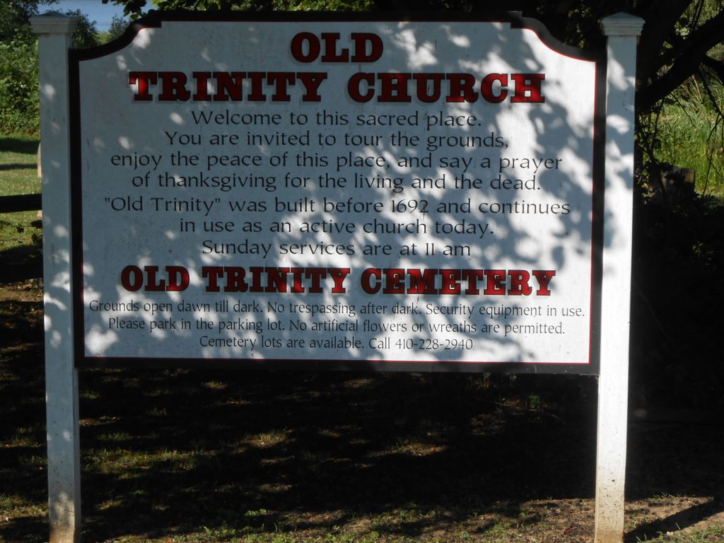
| Phone | : | 410-228-2940 |
| Coordinate | : | 38.5040070, -76.1660580 |
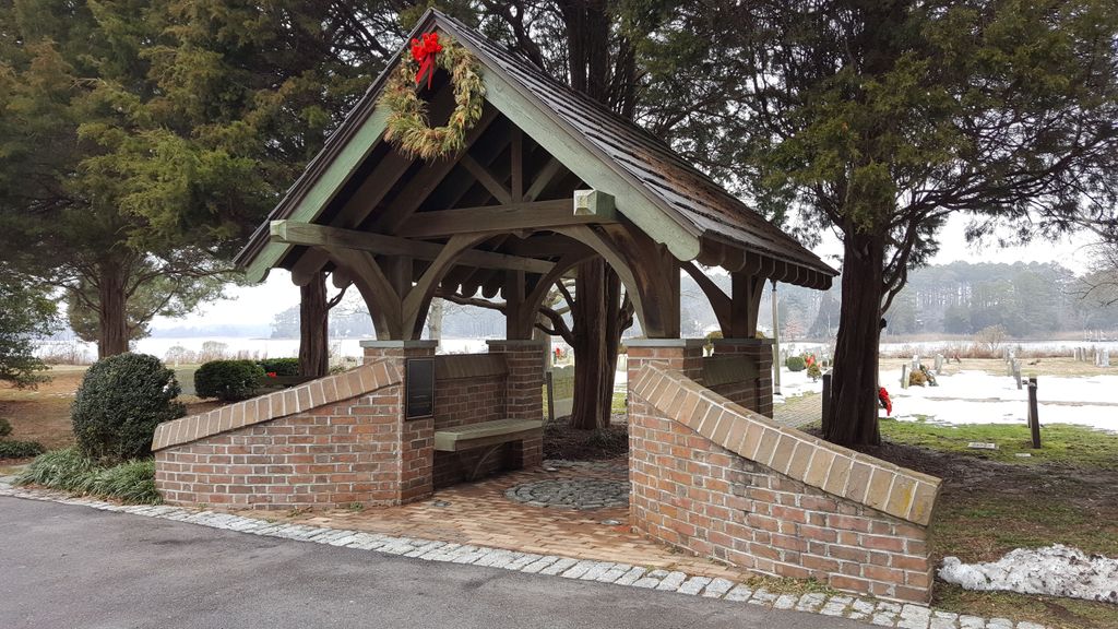
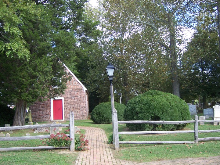
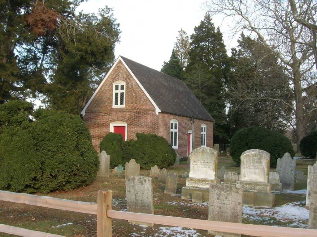
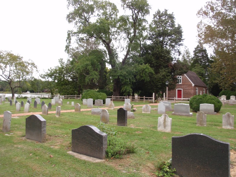
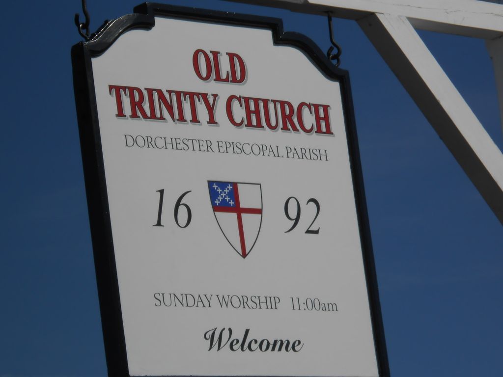
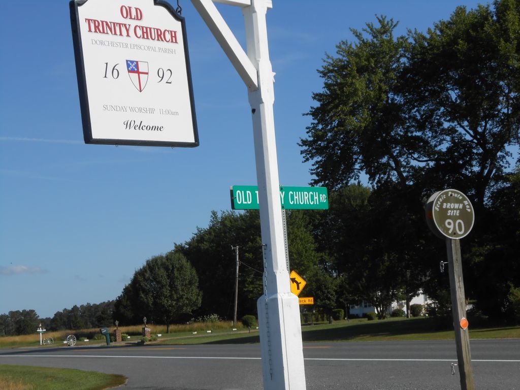
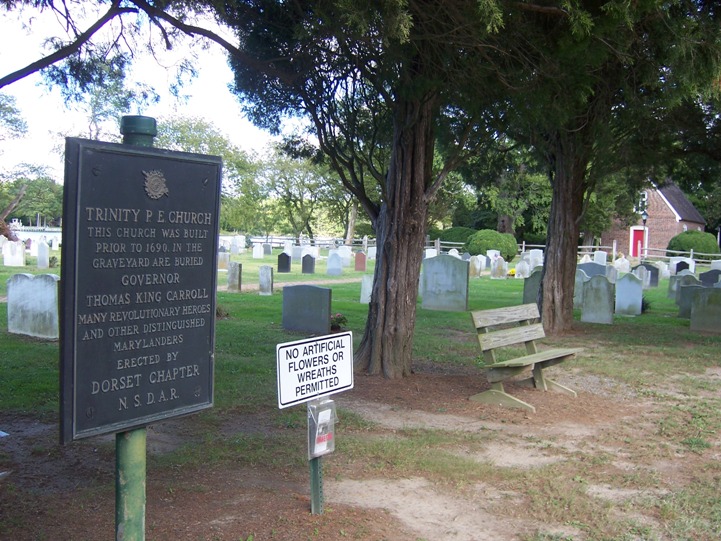
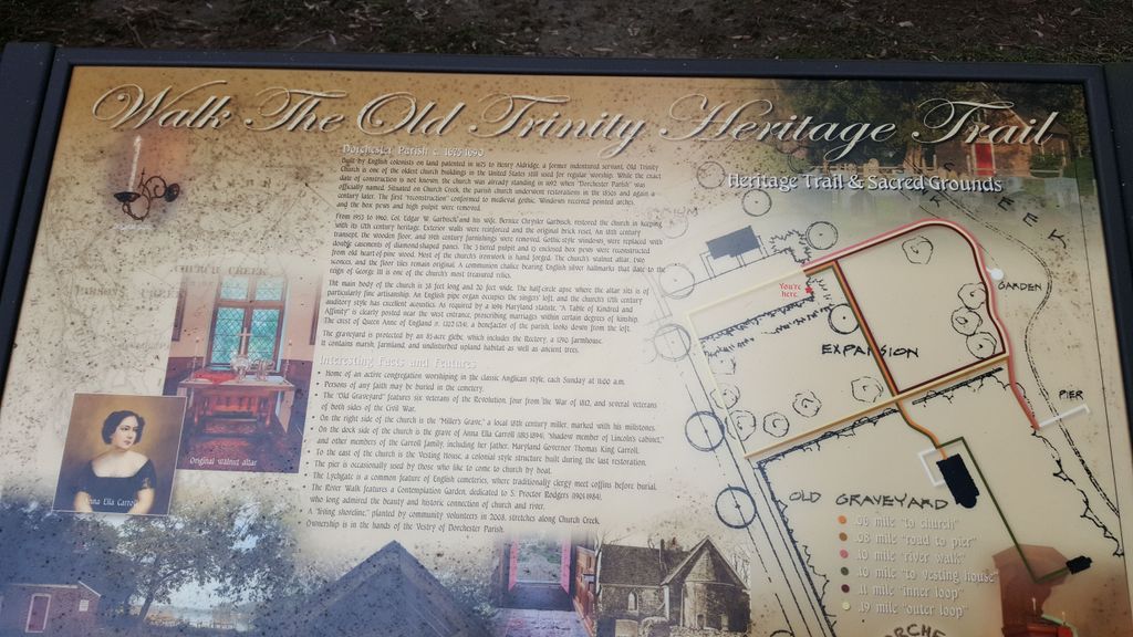
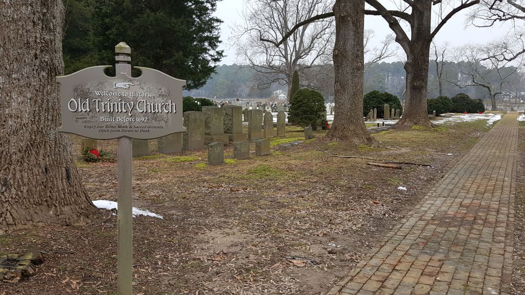
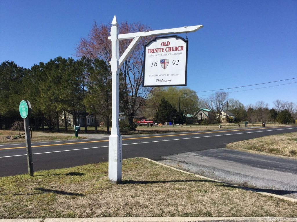
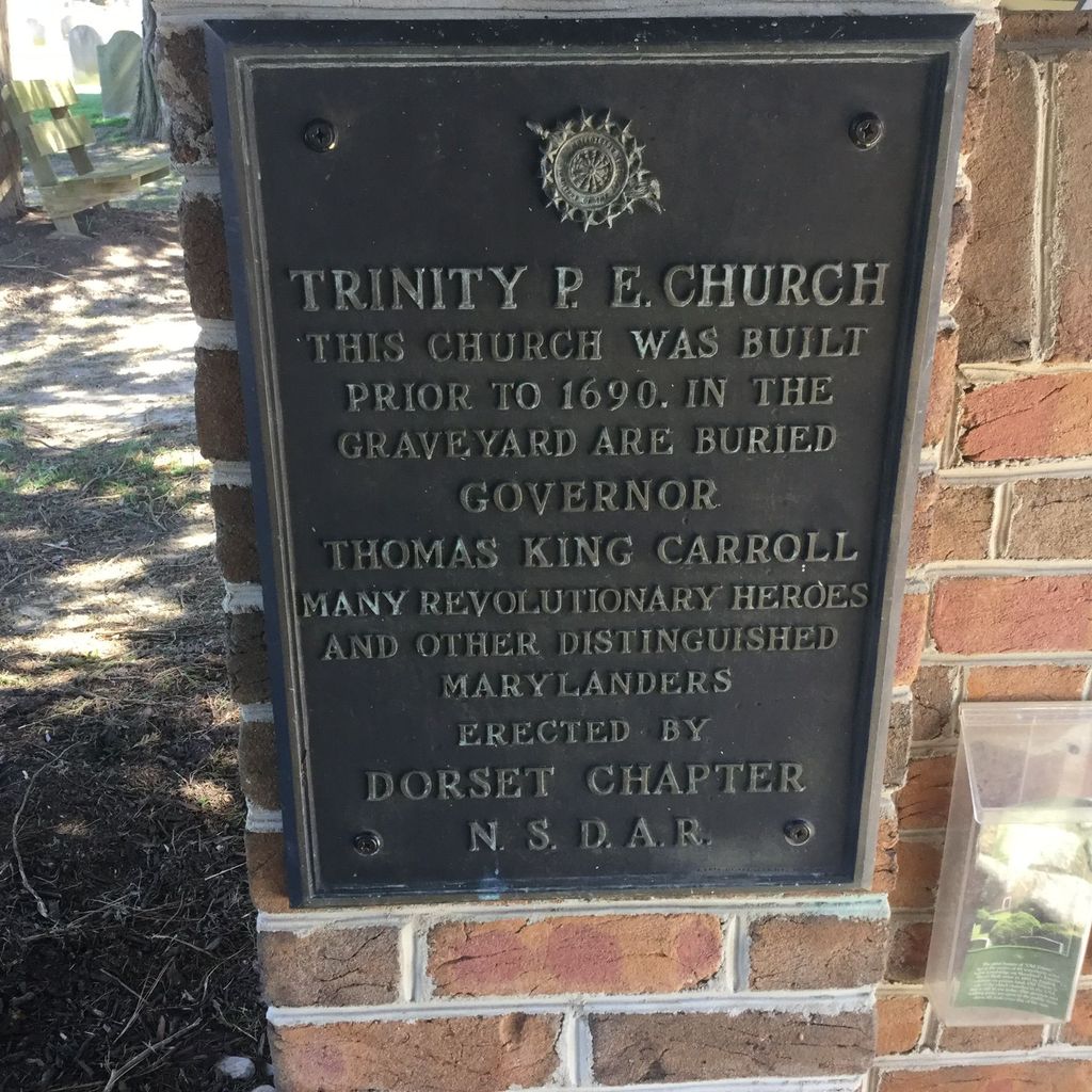
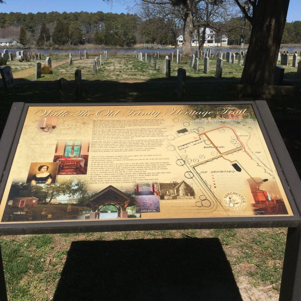
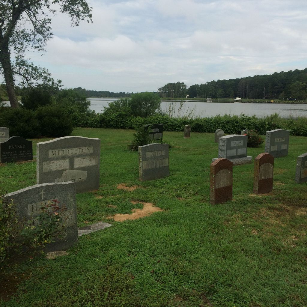
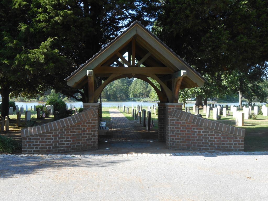
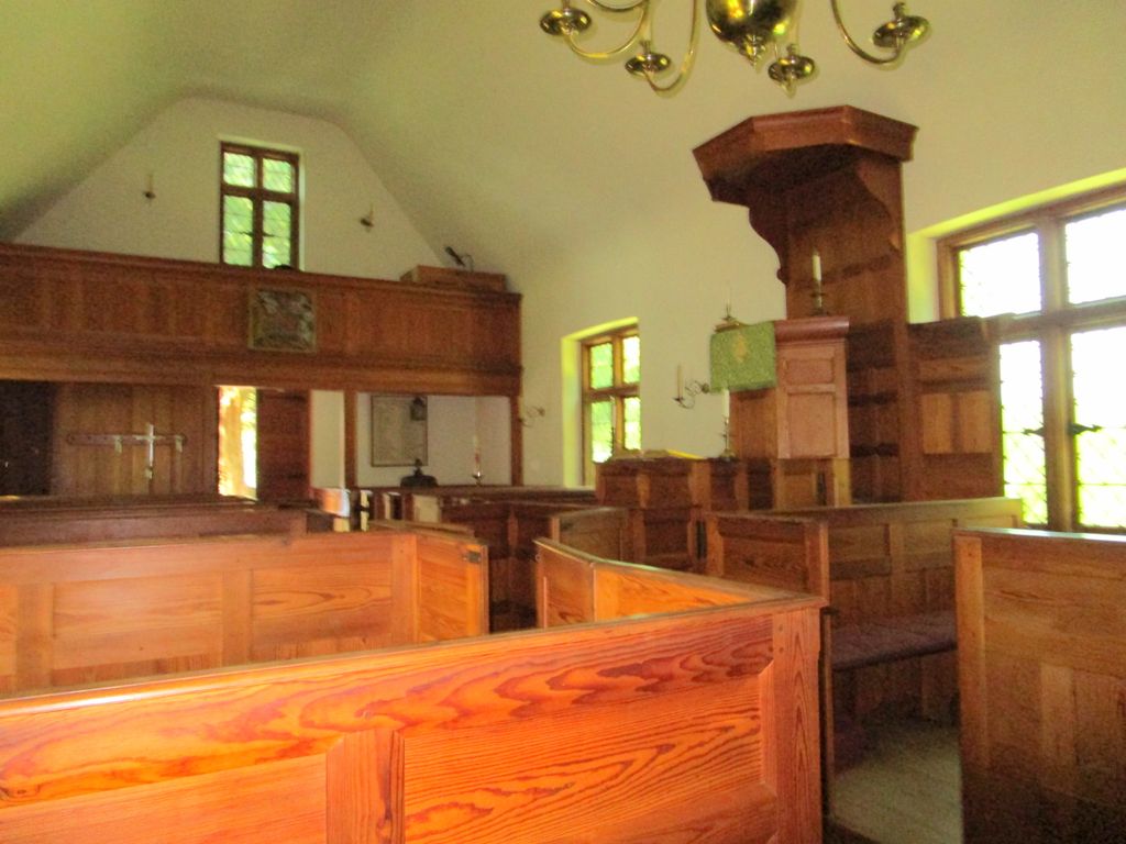
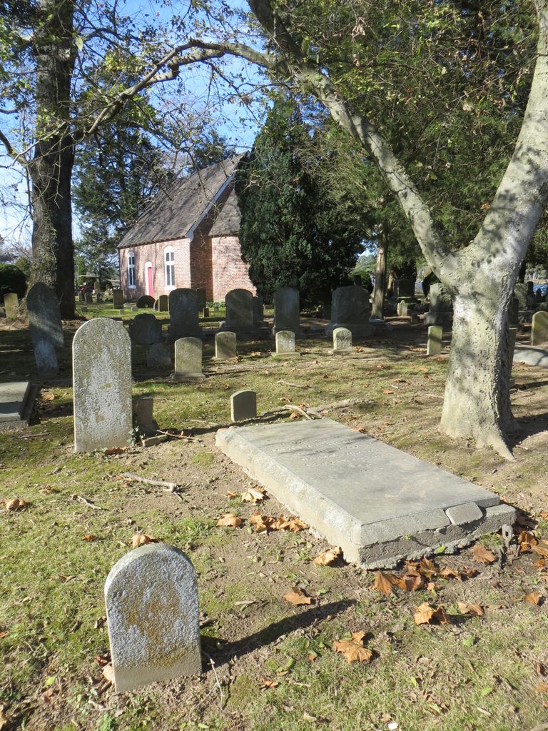
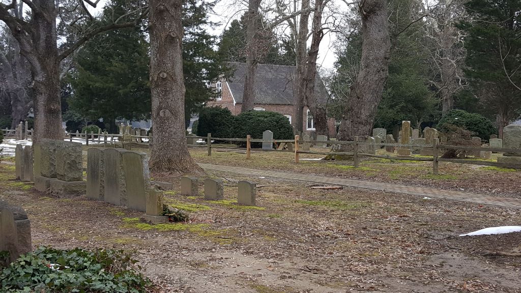
| Description | : | Old Trinity Church was constructed by English settlers on private land patented in 1671 before the Vestry Act created thirty-two Church of England parishes in Maryland. This tiny architectural gem continues to house an active congregation of the Episcopal Church, worshipping in a style compatible with its restoration (11 am Sunday). Old Trinity is located on MD Route 16, in Church Creek, five miles from the Blackwater National Wildlife Refuge. Old Trinity Church Road is 8 miles southwest of the US Route 50 junction of MD Route 16. (Opposite - Hyatt Chesapeake Bay) The cemetery contains the graves of veterans... Read More |
frequently asked questions (FAQ):
-
Where is Old Trinity Episcopal Church Cemetery?
Old Trinity Episcopal Church Cemetery is located at 1716 Taylors Island Road Church Creek, Dorchester County ,Maryland , 21622USA.
-
Old Trinity Episcopal Church Cemetery cemetery's updated grave count on graveviews.com?
318 memorials
-
Where are the coordinates of the Old Trinity Episcopal Church Cemetery?
Latitude: 38.5040070
Longitude: -76.1660580
Nearby Cemetories:
1. Old Field Cemetery
Cambridge, Dorchester County, USA
Coordinate: 38.4918870, -76.1324520
2. Harrisville Malone Cemetery
Harrisville, Dorchester County, USA
Coordinate: 38.4914100, -76.2169200
3. Joppa Cemetery
Madison, Dorchester County, USA
Coordinate: 38.5078011, -76.2200012
4. Gethsemane-Madison Cemetery
Madison, Dorchester County, USA
Coordinate: 38.5076000, -76.2210600
5. Antioch Cemetery
Dorchester County, USA
Coordinate: 38.5494003, -76.1568985
6. Dail Graveyard
Dorchester County, USA
Coordinate: 38.5487887, -76.1250697
7. Christ Rock United Methodist Church Cemetery
Cambridge, Dorchester County, USA
Coordinate: 38.5443878, -76.1030884
8. Windemere Cemetery
Cambridge, Dorchester County, USA
Coordinate: 38.5811500, -76.1713400
9. Blackwater National Wildlife Refuge Cemetery
Church Creek, Dorchester County, USA
Coordinate: 38.4239450, -76.1752370
10. Greenlawn Cemetery
Cambridge, Dorchester County, USA
Coordinate: 38.5694008, -76.1035995
11. Old Hughes Mission Cemetery
Bucktown, Dorchester County, USA
Coordinate: 38.4694621, -76.0698920
12. Bethel Cemetery
Cambridge, Dorchester County, USA
Coordinate: 38.5583000, -76.0847015
13. George H. Applegarth Farm Cemetery
Cornersville, Dorchester County, USA
Coordinate: 38.5634000, -76.2442100
14. Frank North Farm Cemetery
Cambridge, Dorchester County, USA
Coordinate: 38.5690983, -76.2387542
15. Waugh Cemetery
Cambridge, Dorchester County, USA
Coordinate: 38.5657997, -76.0832977
16. Smithville Cemetery
Smithville, Dorchester County, USA
Coordinate: 38.4740000, -76.2753700
17. Cambridge Cemetery
Cambridge, Dorchester County, USA
Coordinate: 38.5657997, -76.0757980
18. Beckwith Cemetery
Hudson, Dorchester County, USA
Coordinate: 38.5937470, -76.2018590
19. Stoney Point Graveyard - Neck District
Lloyds, Dorchester County, USA
Coordinate: 38.5998000, -76.1761500
20. Woolford Graves
Cambridge, Dorchester County, USA
Coordinate: 38.5709180, -76.0760290
21. Christ Episcopal Church Cemetery
Cambridge, Dorchester County, USA
Coordinate: 38.5727997, -76.0768967
22. Brooks Creek Cemetery
Dorchester County, USA
Coordinate: 38.5549965, -76.2731628
23. Dail Farm Cemetery
Cambridge, Dorchester County, USA
Coordinate: 38.5774855, -76.2502666
24. Eastern Shore State Hospital Cemetery
Cambridge, Dorchester County, USA
Coordinate: 38.5635460, -76.0554860